Twin Peaks/Upper Market
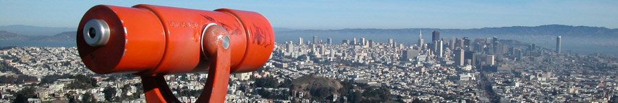
Now: The most popular lookout point in San Francisco, and certainly a spectacular one. Tank Hill, just to north and accessible off of Clarendon Avenue, is a lesser peak but offers more of a "front row seat" facing the northern half of the city. For the ultimate panoramic view of Golden Gate Park, see Grand View Park.
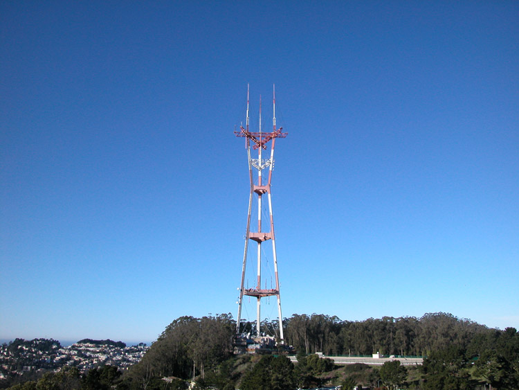
Then: Sutro Tower, now visible from virtually every part of the city, was built in 1972. See postcards of Twin Peaks.
How To Get There: Driving is easiest for Twin Peaks. Enter via Twin Peaks Boulevard, either on the south from Portola Drive (Market Street becomes Portola), or on the north from Clarendon Avenue. At odd hours, you can usually drive right up and park, but if the weather is nice or it's the weekend, it's likely to be crowded.
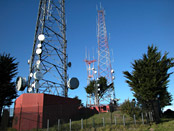
Towers at the top of Twin Peaks
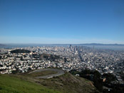
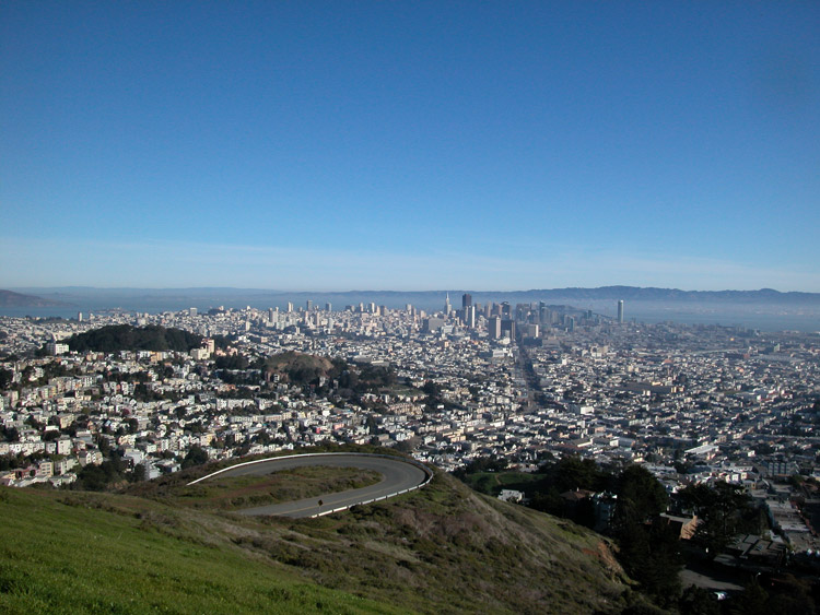
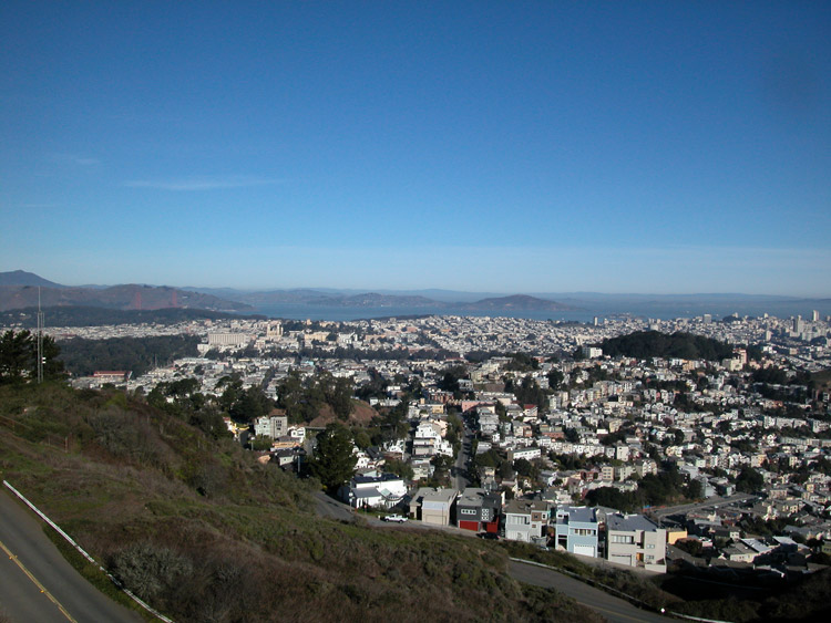
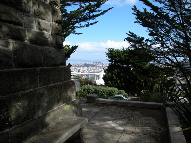
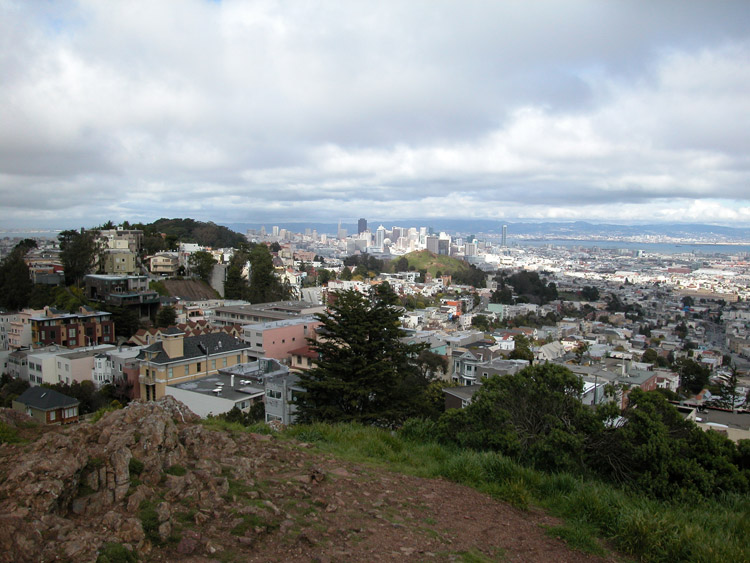
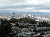
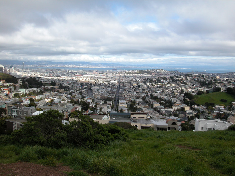
City view from Twin Peaks
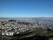
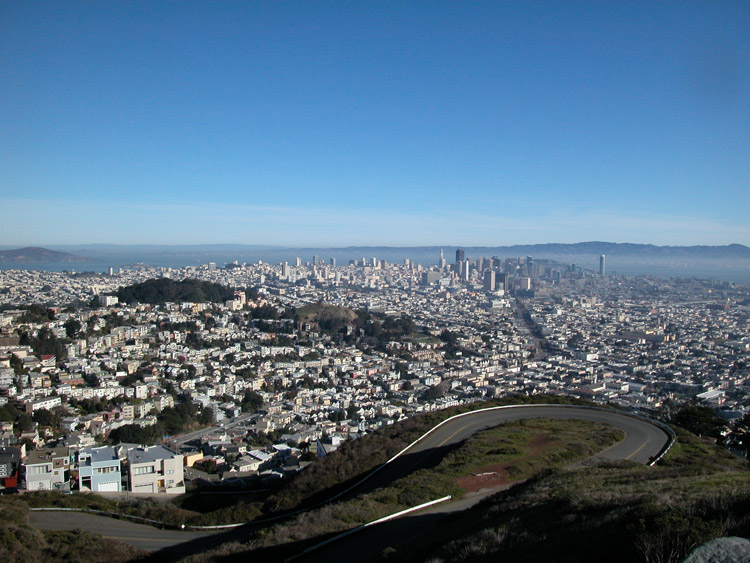
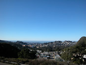
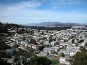
Northeast view, from Twin Peaks

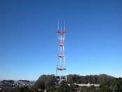
Sutro Tower, from Twin Peaks

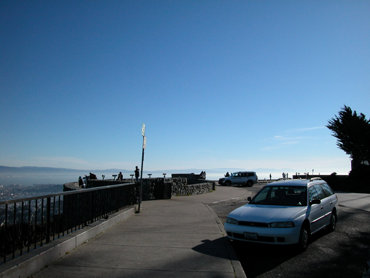
Parking lot at Twin Peaks
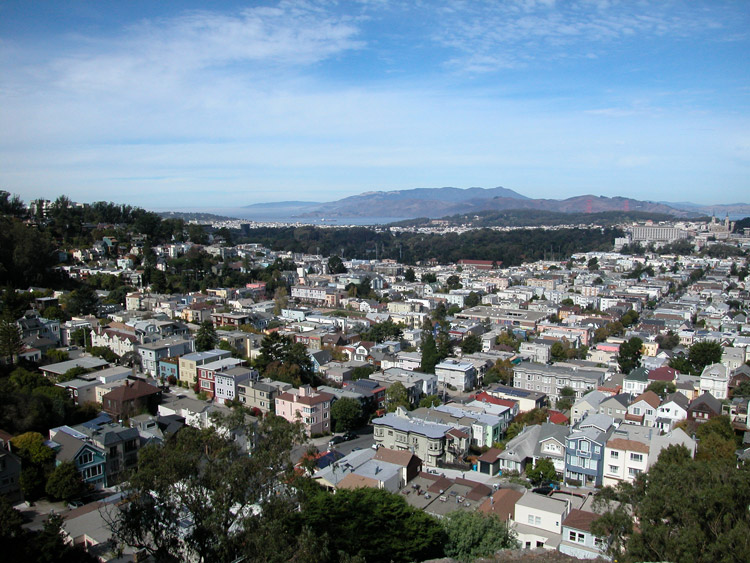
North view from Twin Peaks, toward bay and Golden Gate
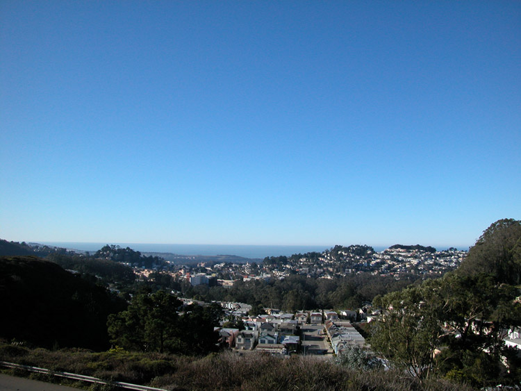
West view, toward Pacific Ocean, from Twin Peaks

Walkway and railing at Twin Peaks

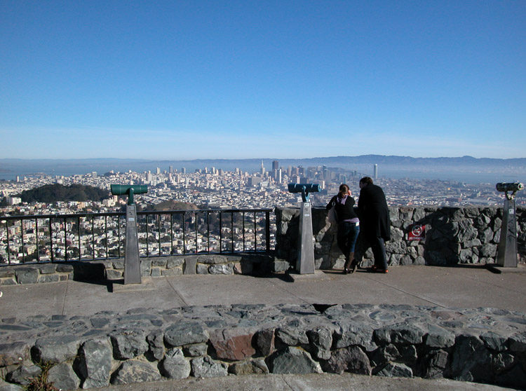
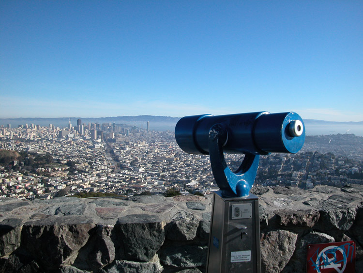
Viewing telescope at Twin Peaks
Edge of the wall surrounding the viewing area at Twin Peaks
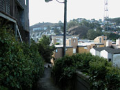
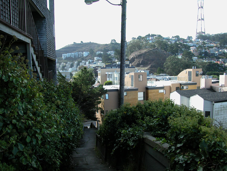
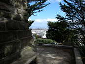
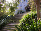
Monument Way Stairway leading to Upper Terrace from the north side of 17th Street, near Clayton Street
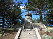
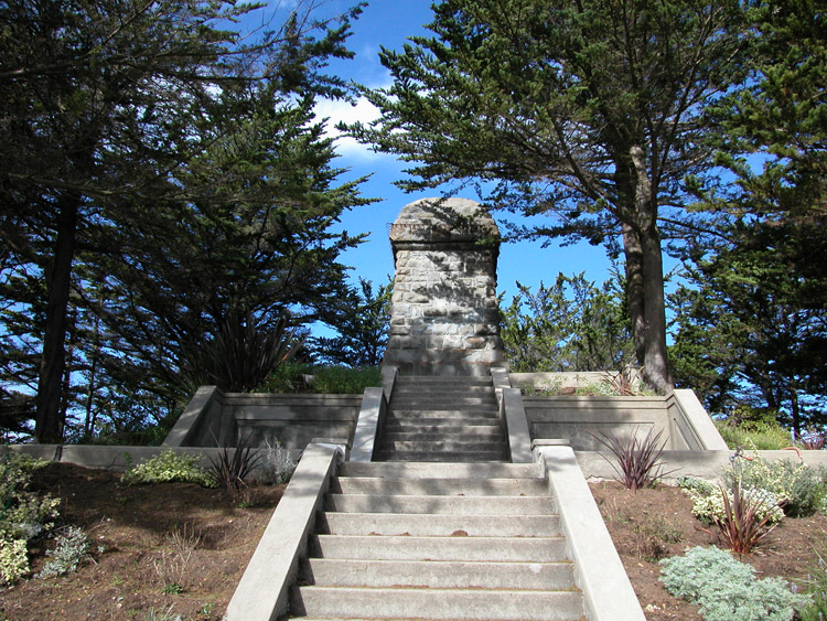
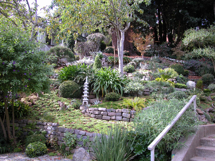
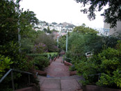
The Olympus Monument base and stairway at the center of the Upper Terrace loop

From the side of the Monument base, looking east
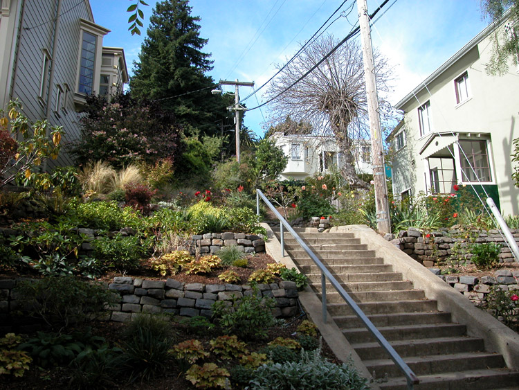
Stairway leading down from Upper Terrace and Monument
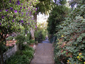
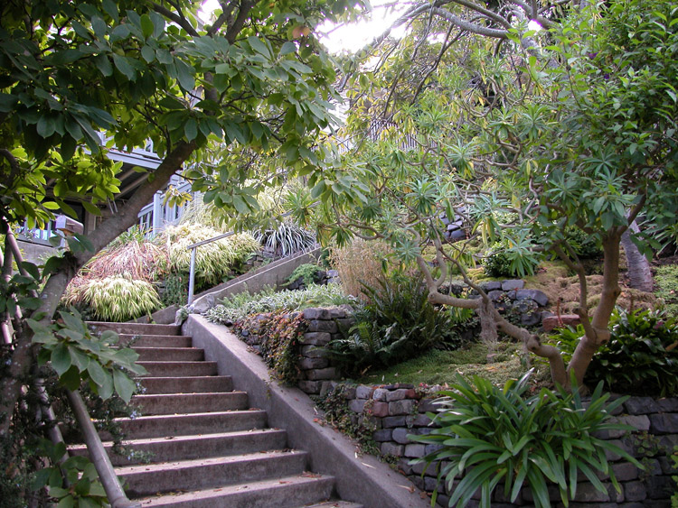
Vertical gardens at the edge of Upper Terrace hill
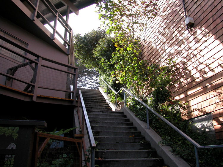
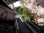
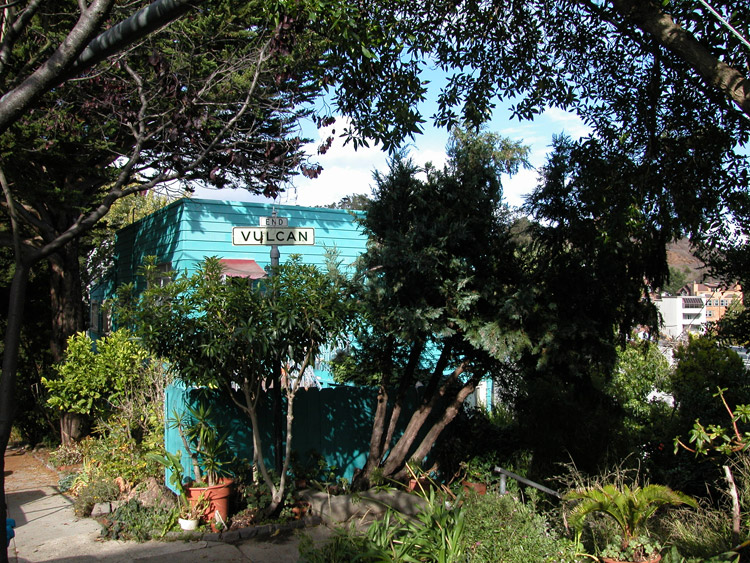
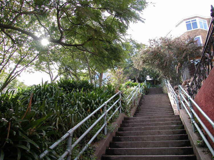
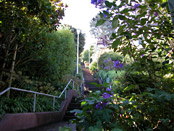
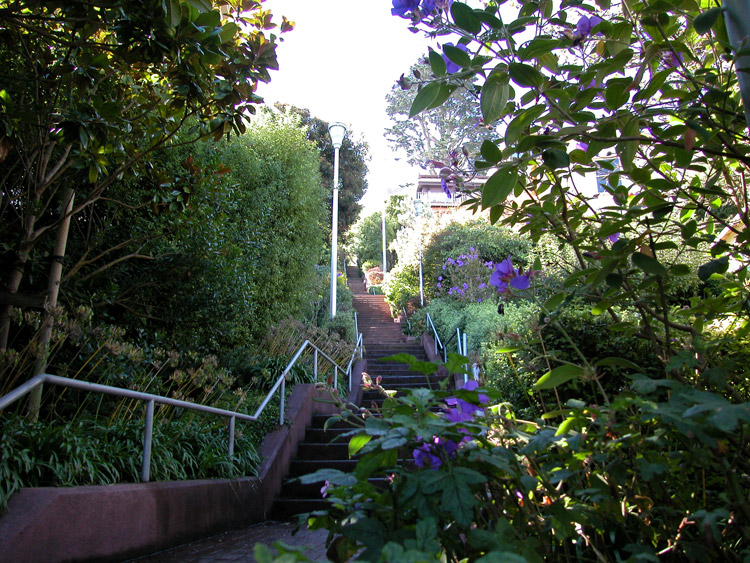
The top of Vulcan Stairway, at Levant Street
Looking down Vulcan Stairway, near the top at Levant Street

One of two sets of steps near the bottom of Vulcan Stairway


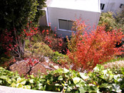
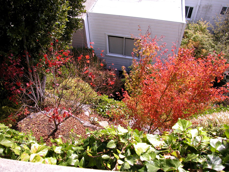
Garden near the bottom of Vulcan Stairway

The bottom of Vulcan Stairway, at Ord Street

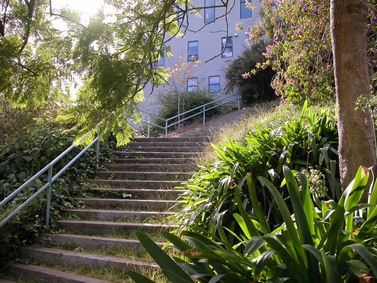
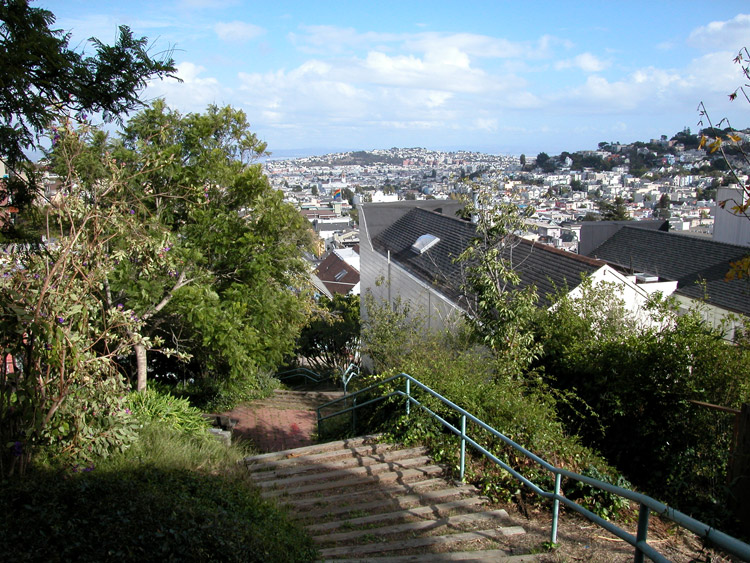
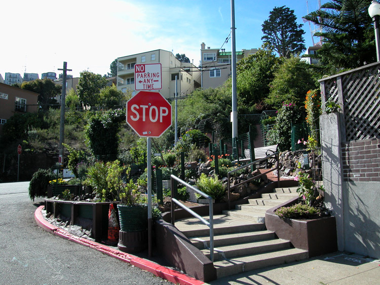
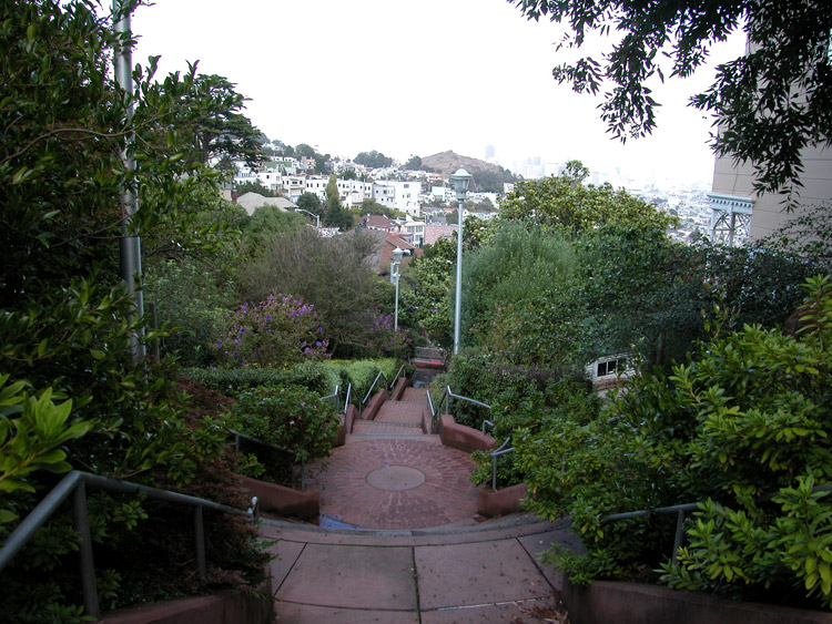
Looking up from the bottom of the Saturn Street Stairway, at Ord Street
Looking up one side of the Saturn Street Stairway
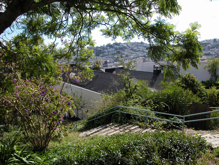
Saturn Street Stairway, looking down

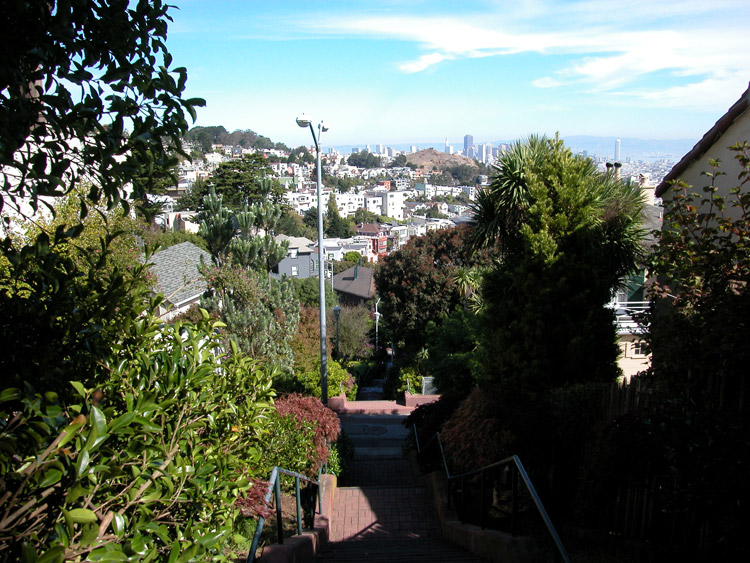
View near the top of the Saturn Street Stairway
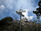
Street sign at the top of the Saturn Street Stairway, at Lower Terrace
Entrance to Al's Park, on Corbett Avenue between Mars Street and Clayton Street
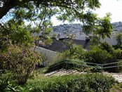
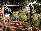
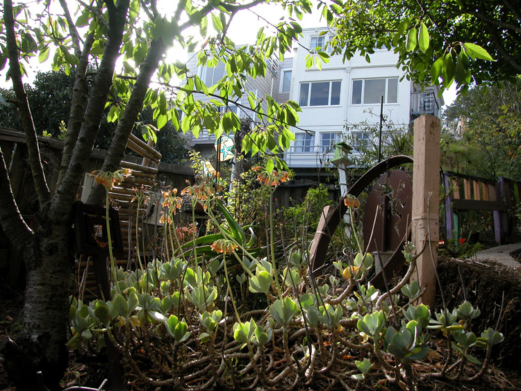
Inside Al's Park


The side of Al's Park, looking toward residential yards
Near the back of Al's Park, facing Market Street

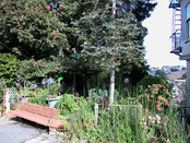
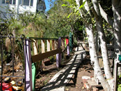
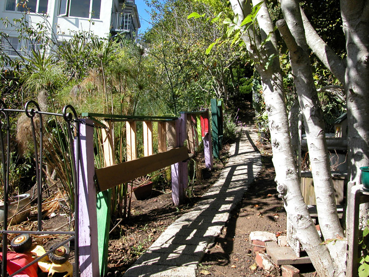
Community Garden at the corner of Corbett Avenue and Clayton Street

Bottom of the Pemberton Place Stairway, at Clayton Street near Corbett Avenue
Middle section of Pemberton Place Stairway near Graystone Terrace, looking down
At the top of Pemberton Place Stairway, near Crown Terrace
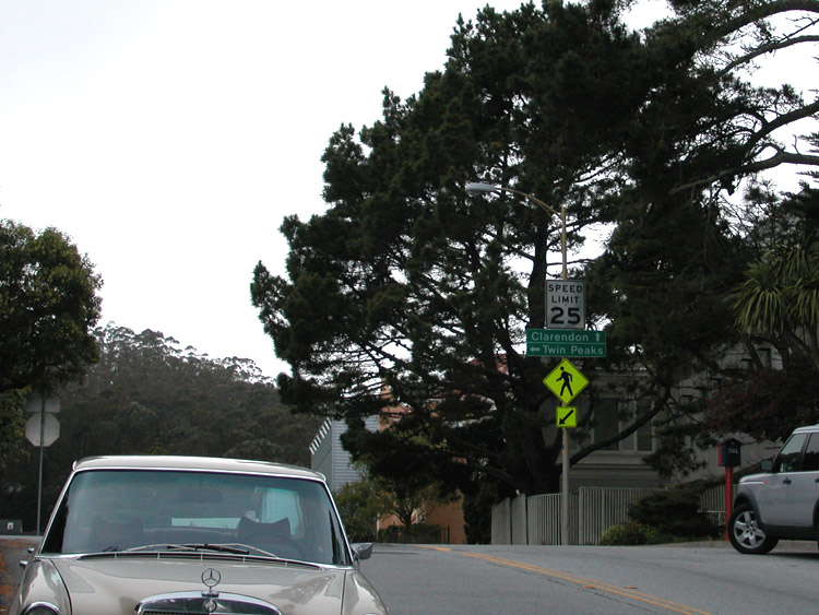
Where Twin Peaks Boulevard branches into Clarendon Avenue, near the entrance to Tank Hill
Twin Peaks Boulevard at Crown Terrace - an easy place to park to reach Tank Hill
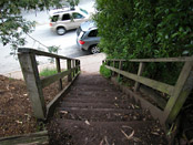
Steps at Twin Peaks Boulevard, leading up to Tank Hill


Top of Tank Hill, facing south
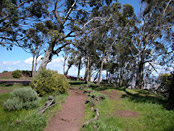
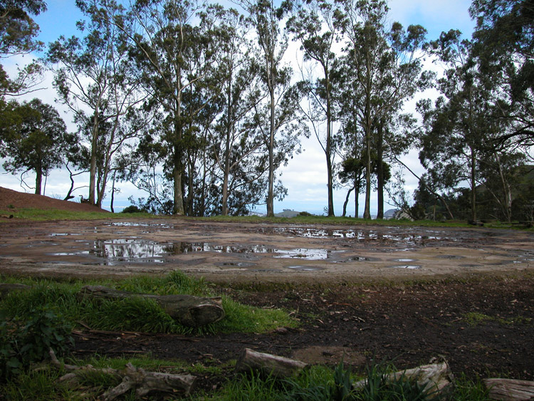
Trees at the top of Tank Hill

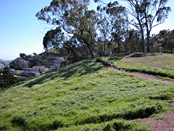
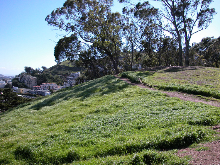
Surface at the top of Tank Hill (where the water tank was in use from 1894 to 1957)

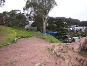
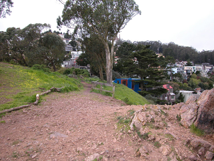
Path along the edge of Tank Hill

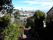
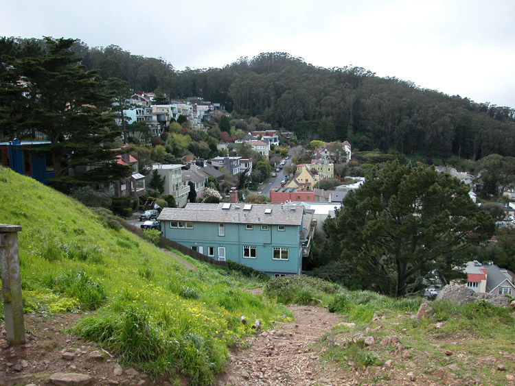
View to the north from Tank Hill
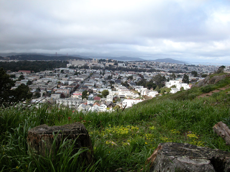
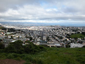
Northeast view from Tank Hill, toward the city skyline and bay
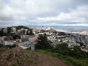
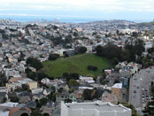
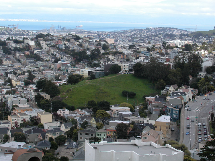
City view (and Corona Heights) from Tank Hill
Northwest view towards Golden Gate Park and the ocean, from Tank Hill

Western view across the edge of Mt. Sutro, from Tank Hill

Southeast view toward the bay (and Kite Hill) from Tank Hill
View directly east across the city, from Tank Hill
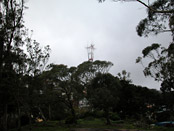
Looking south at Sutro Tower, from Tank Hill


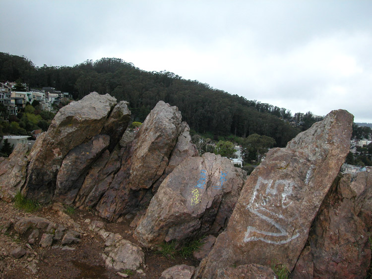
Rocks (chert outcroppings) at the top of Tank Hill
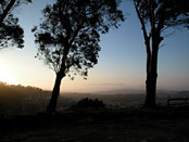
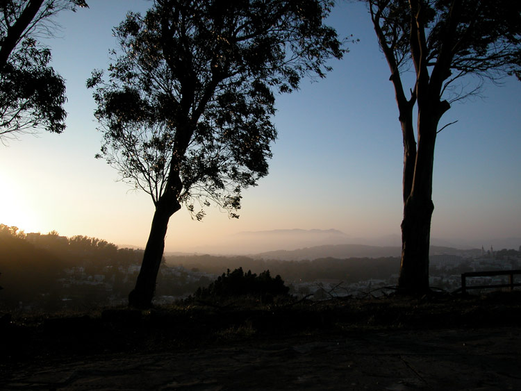
Tank Hill at sunset
- Twin Peaks/Upper Market info on other sites
- Twin Peaks on Wikipedia
- History and photos at the Twin Peaks Improvement Association
Comments
Comment about Twin Peaks here: