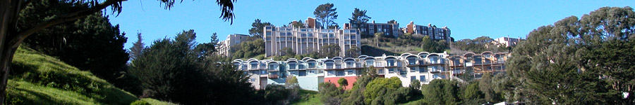
Diamond Heights
Now: Diamond Heights is a fascinating anomaly in San Francisco. The streets curve around the natural hills, and the homes are collectively a trip back to the early 1960s, when most of them were designed and built. The mid-20th century modernist style is evident in the sharp angles, beams, glass walls, and landscaped courtyards. A couple of little-known hillside parks site at the east edge of Diamond Heights.
Then: Last major area of San Francisco to be developed, the hillsides of Diamond Heights were barren until the 1950s and 60s.
How To Get There: Diamond Street runs through from Noe Valley to the north, and Glen Park to the south. The 35 Muni bus takes this route. The Safeway shopping center on Diamond Heights Boulevard has an adjacent park (George Christopher Playground) and secret back door to Glen Canyon Park.
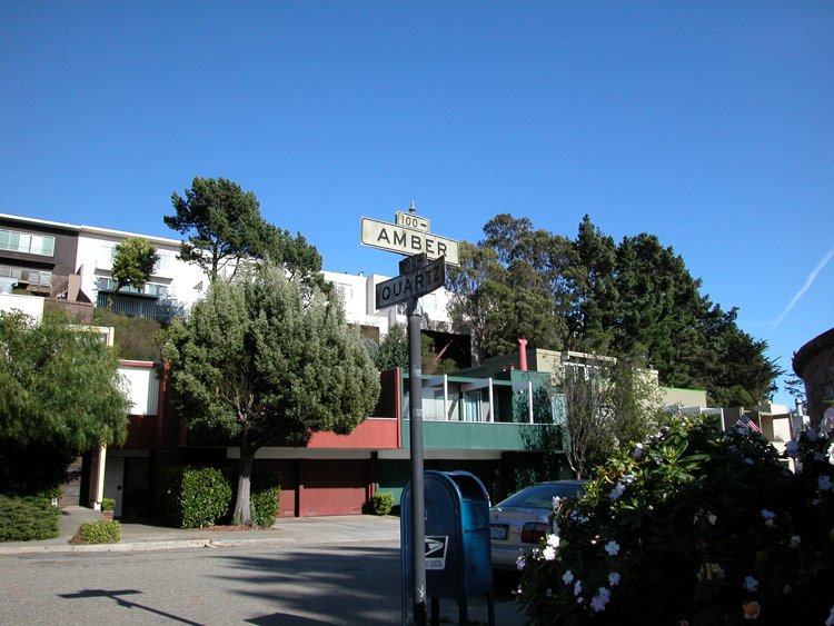
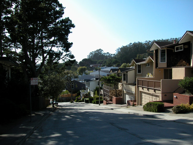
Amber Drive and Quartz Way in Diamond Heights

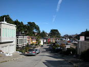
Quartz Way in Diamond Heights
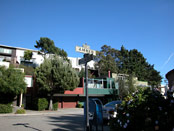
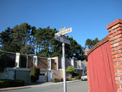
Turquoise Way in Diamond Heights

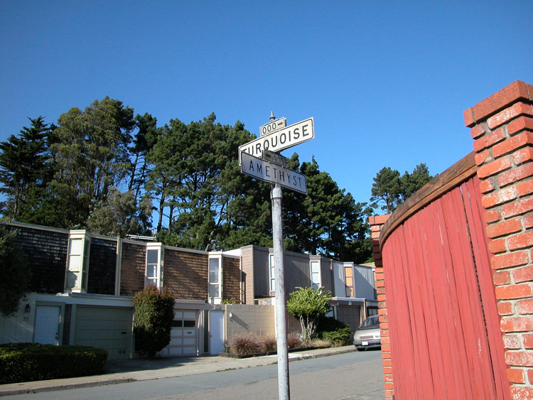
Turquoise and Amethyst Way in Diamond Heights
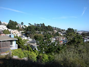
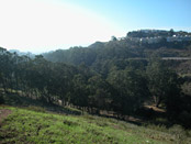
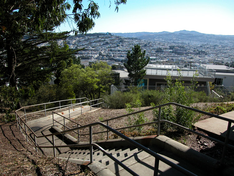
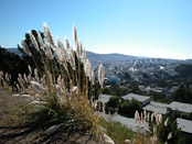
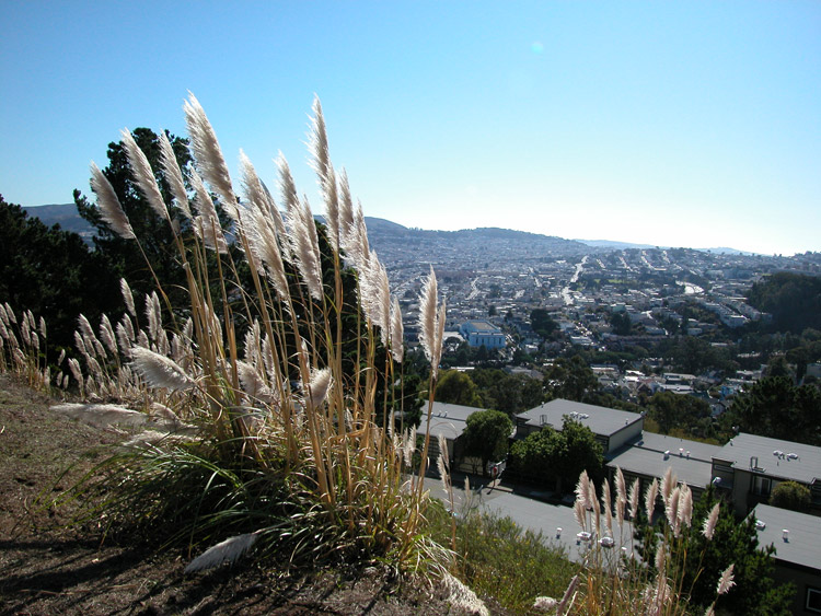
View of Diamond Heights, from the end of Amethyst Way

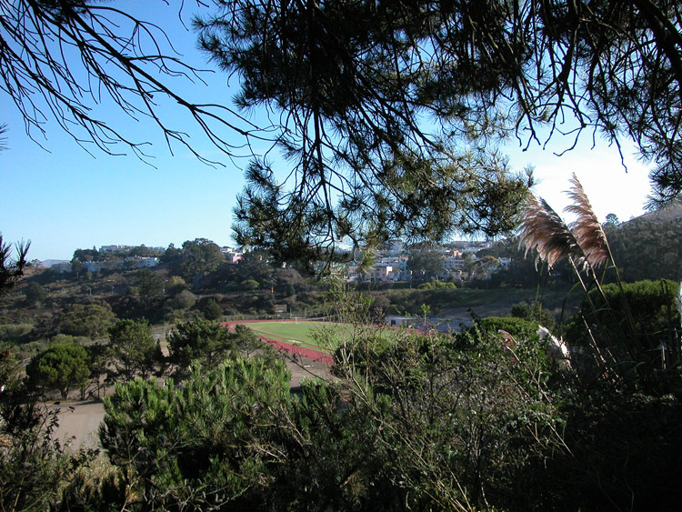
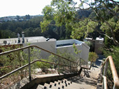
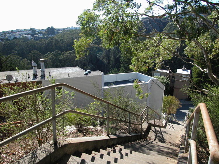
Overlooking School of the Arts Alternative High School, from the end of Amethyst Way

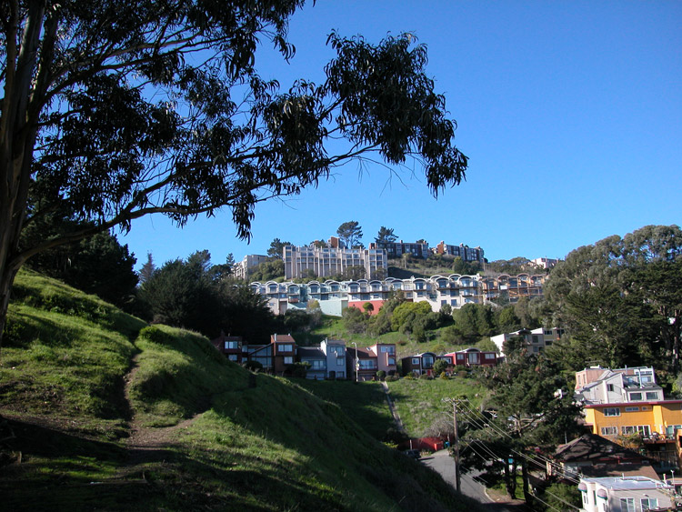
Diamond Heights Safeway, next to the north entrance to Glen Canyon Park
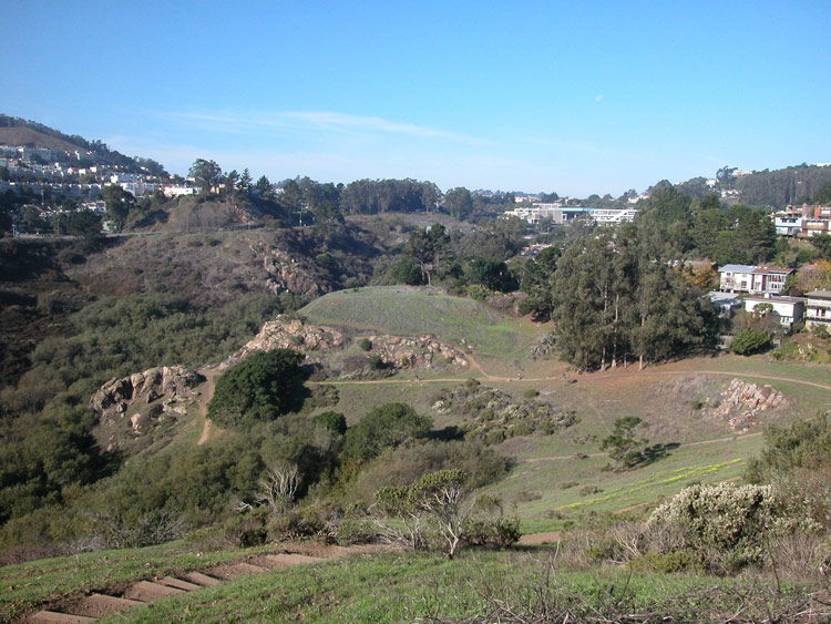
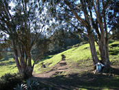
Glen Canyon Park, north side, from the entrance next to Safeway shopping center
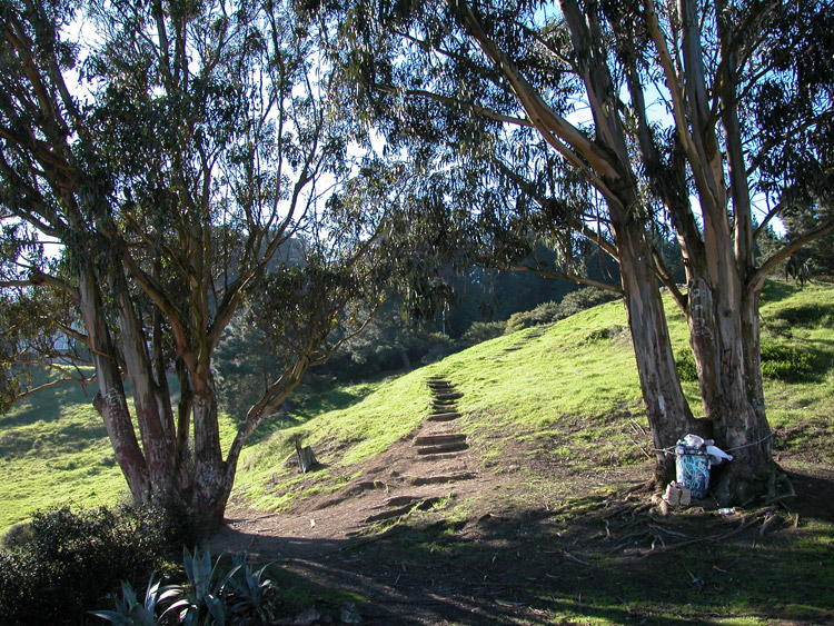
Walking trails at the north end of Glen Canyon Park


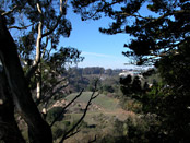
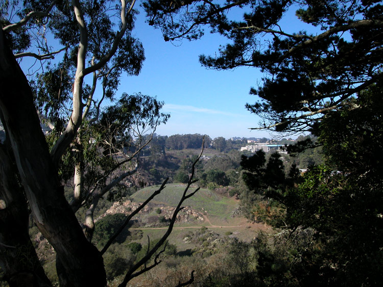
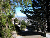
View through the trees at the top of the north entrance to Glen Canyon Park
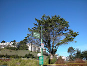
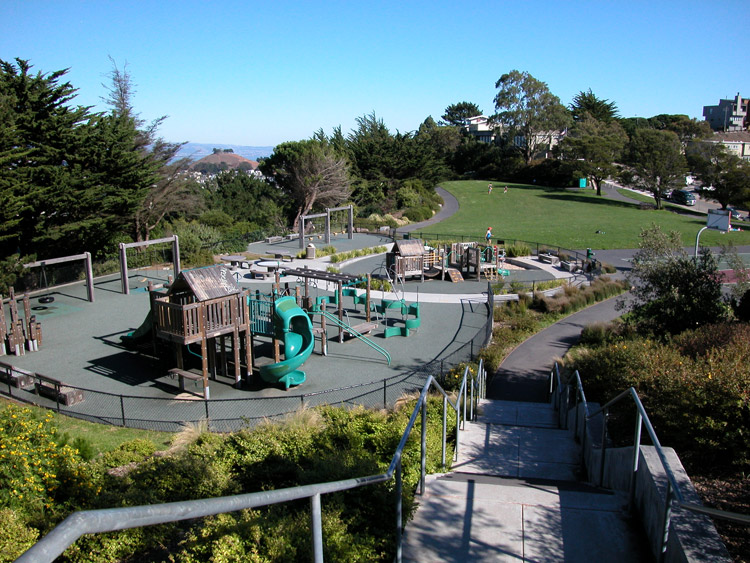
Walter Haas Park and Playground, entrance and sign
Walter Haas Park and Playground, off of Diamond Heights Boulevard

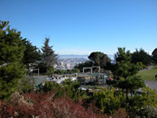
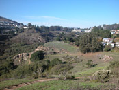
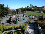
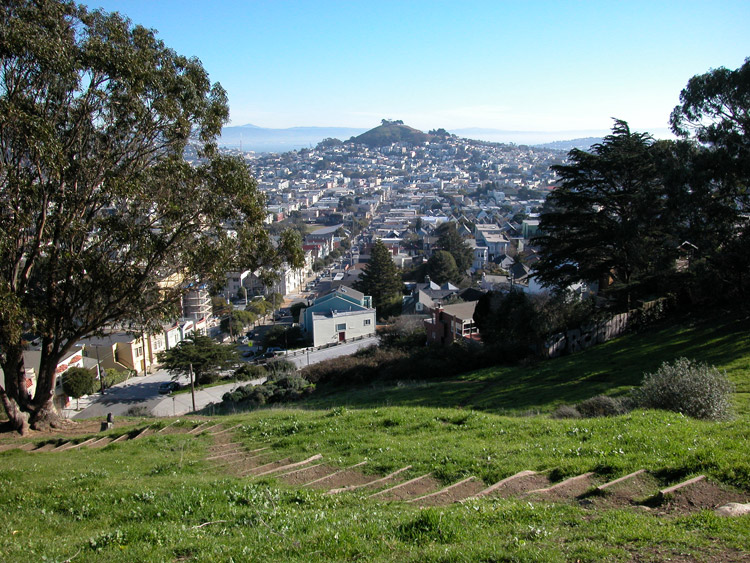
View of Walter Haas Park in Diamond Heights

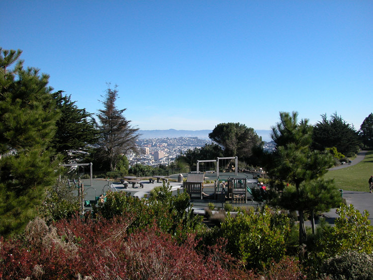
Northeast view from Walter Haas Park

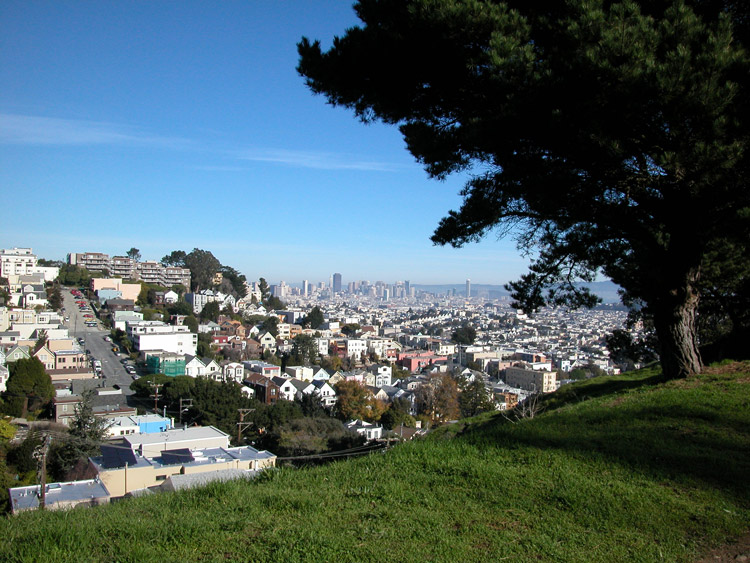
Billy Goat Hill Park in Diamond Heights, off of Beacon Street
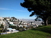
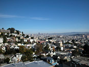
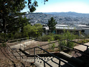
City view from Billy Goat Hill Park in Diamond Heights
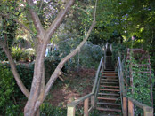
Stairway at Billy Goat Hill Park
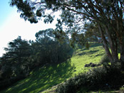
Hillside at Billy Goat Hill Park

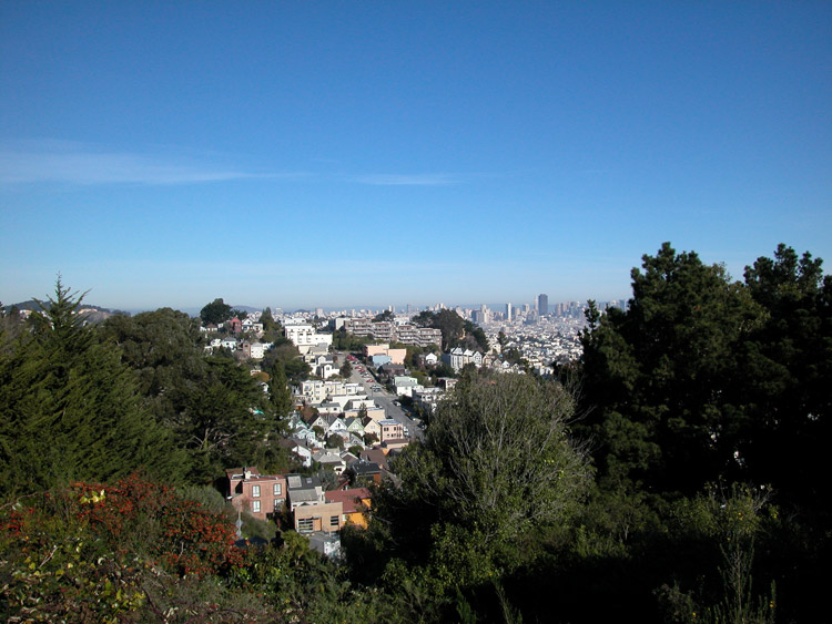
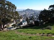
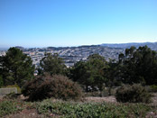
View from Billy Goat Hill Park

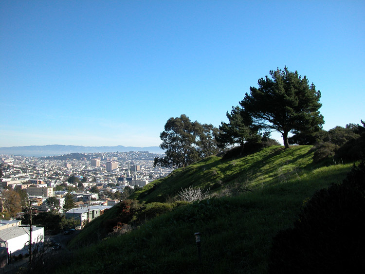
West toward Diamond Heights hillside, from Billy Goat Hill Park
Path at Billy Goat Hill Park

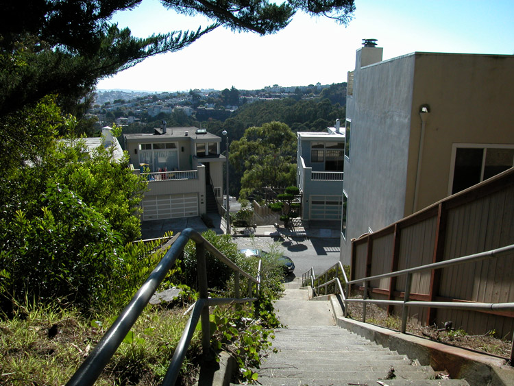
Valley Street Stairway and view, looking down from Diamond Street between 28th and 29th Streets
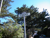
Sign marking the top of the Harry Stairway, at Beacon Street north of Miguel Street
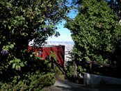
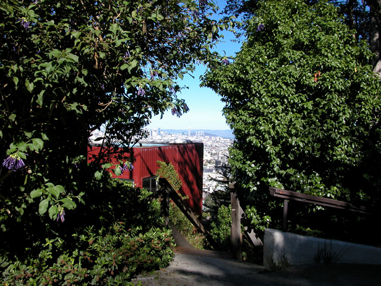
Entrance at the top of Harry Stairway
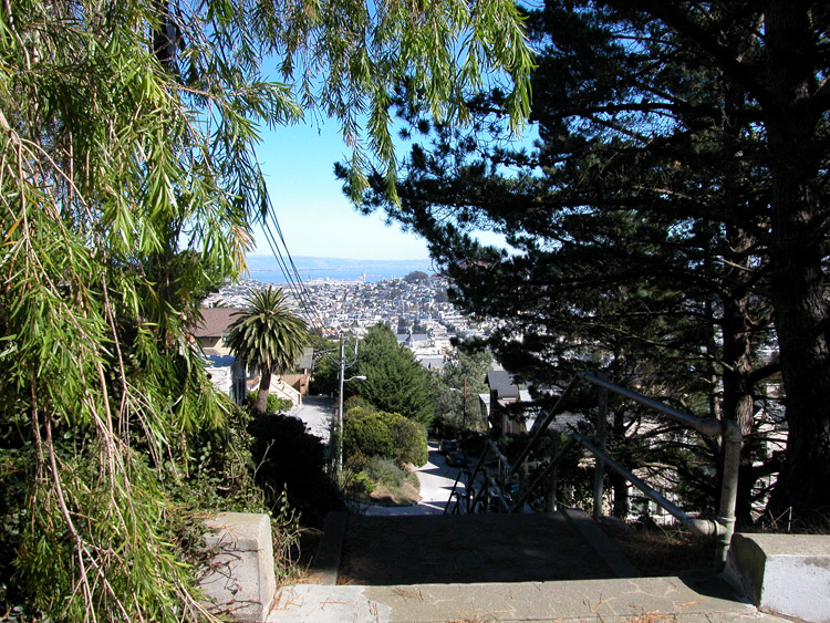

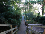
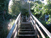
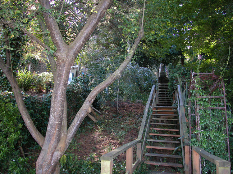
Looking down Harry Stairway, from the top
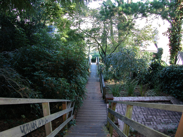
Looking up at the wooden steps of the Harry Stairway
Harry Stairway, near the bottom at Laidley Street, looking up


Sweeping View Apartments on Laidley Street near the bottom of Harry Stairway
Amatista Lane Stairway, leading up from Bemis Street to Everson Street
Southern view from the top of Everson Street


Willows along the ridge at the top of Everson Street
Onique Lane Stairway leading down from Berkeley Way toward Glen Canyon Park

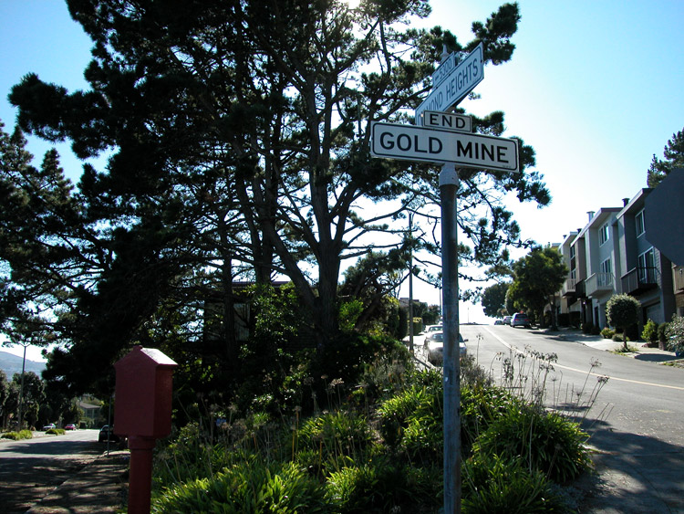
Onique Lane Stairway, leading down from Gold Mine Drive

Gold Mine Drive, at the intersection of Diamond Heights Boulevard
- Diamond Heights info on other sites
- Diamond Heights on Wikipedia
- Diamond Heights Eichler Homes
Comments
Comment about Diamond Heights here: