Bernal Heights/Cortland Avenue
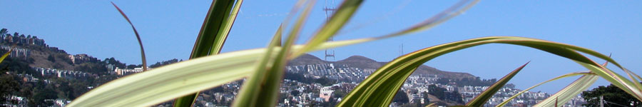
Now: San Francisco's back yard, lovingly cultivated in a loose patchwork of neighborhood gardens and stairways by residents. Bernal Hill offers one of the city's landmark wraparound views. Alemany Farmer's Market (Saturday) and Flea Market (Sunday) deliver with small-town heart. Homes are modest in style compared to central areas of city.
Then: Holly Park land was donated to the city in 1862 and gradually upgraded as homes appeared through the late 1800s. The neighborhood grew around pasture hill following 1906 earthquake.
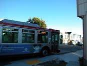
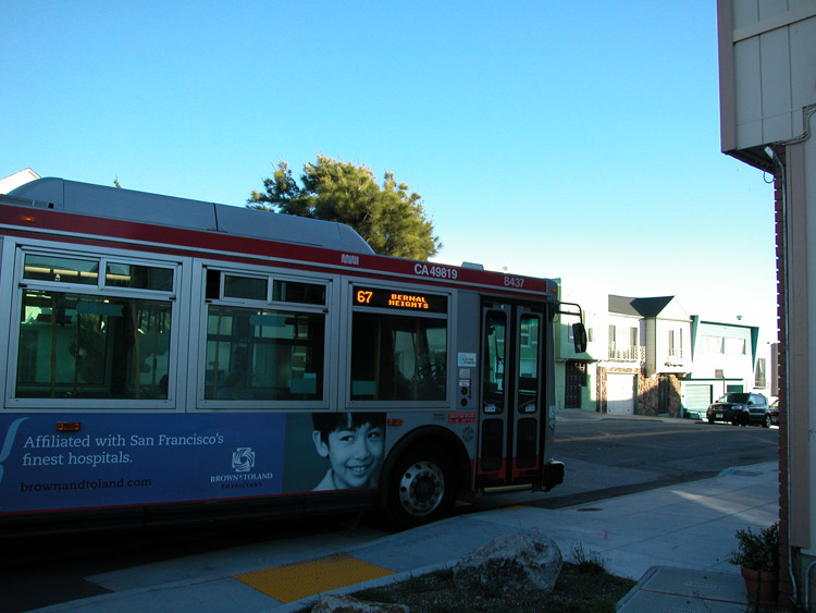
How To Get There: Cortland Avenue connects directly with Mission Street on the west side, and Bayshore Boulevard on the east side. From the Mission side, it's a fairly short walk to the commercial sector of Cortland (about 4 blocks), although it is uphill. The 67 Muni bus goes up Folsom Street to Bernal Heights from the 24th Street/Mission BART station.
Good Life grocery on Cortland Avenue in Bernal Heights
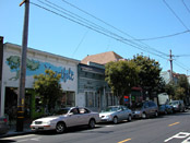
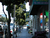
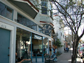
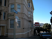
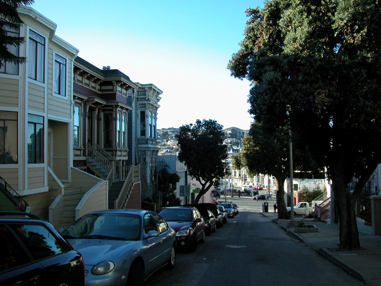
Storefronts on Cortland Avenue
Liberty Cafe on Cortland Avenue - dinner menu features pot pies, bakery open daytimes


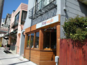
Little Nepal - Nepalese food on Cortland Avenue
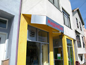
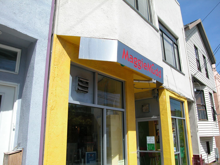
Maggie Mudd ice cream, with many non-dairy selections
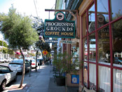
Progressive Grounds Coffee on Cortland Avenue


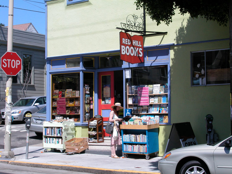
Red Hill Books on Cortland Avenue
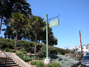
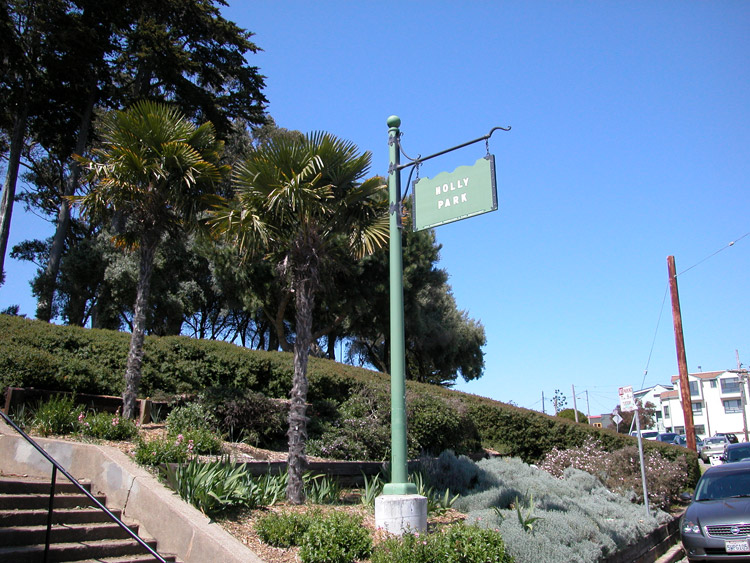
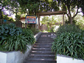
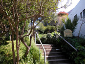
Holly Park entrance, at Holly Park Circle near Park Street
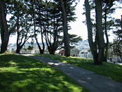
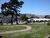
Walking path at Holly Park
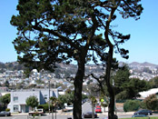
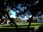
At Holly Park, facing west
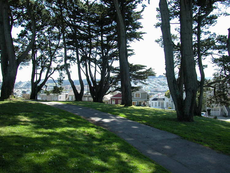
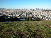
West view from Holly Park

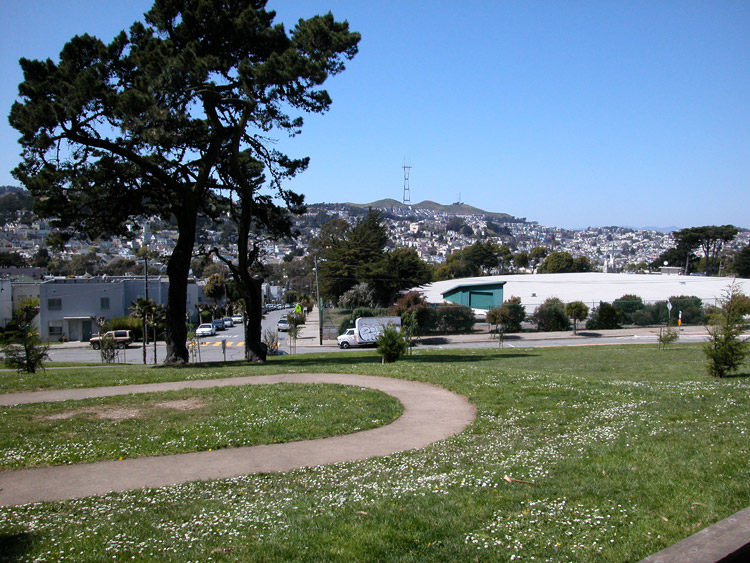
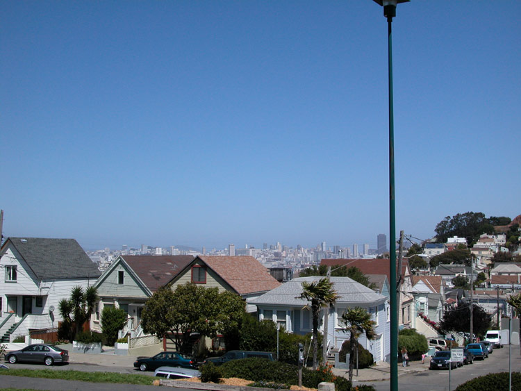
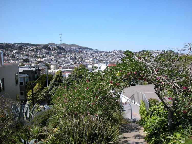
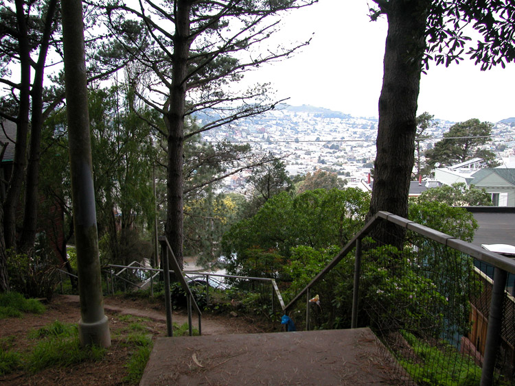
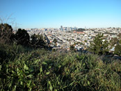
Northwest city view from Holly Park

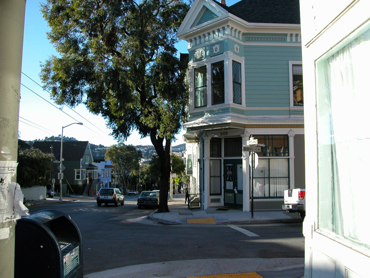
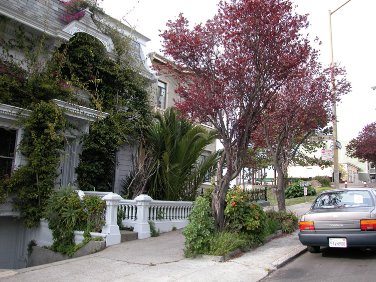
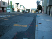
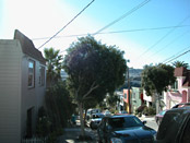
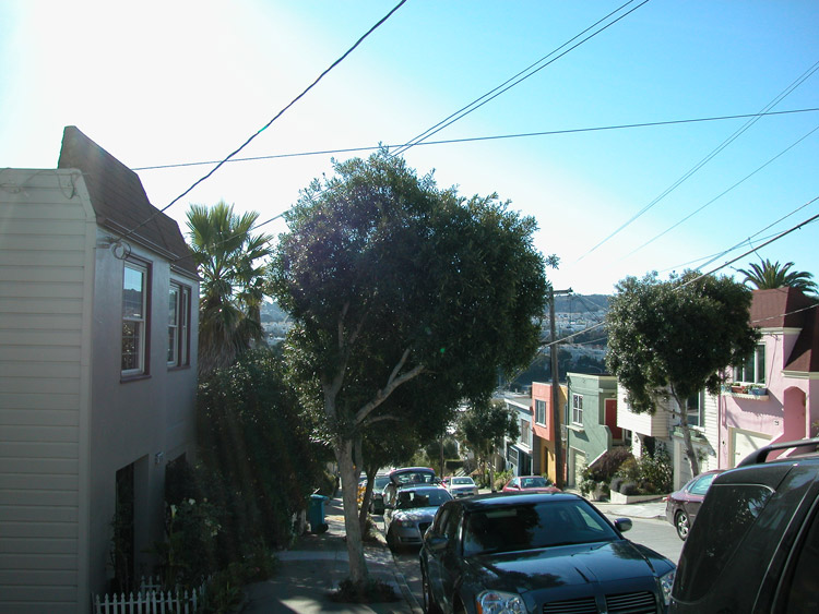
Cortland Avenue at Bonview Street
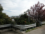
Eugenia Avenue at Coleridge Street
Eugenia Avenue between Coleridge Street and Mission Street

Good Prospect Community Garden, at Cortland Avenue and Prospect Avenue

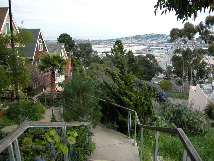
Stairway connecting Kingston Street between Prospect Avenue and Coleridge Street
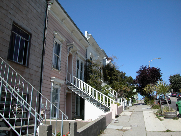
Houses on Coleridge Avenue

House on Coleridge Avenue at Esmerelda Avenue
Esmeralda Avenue stairway at Coleridge Street

Stairs at Esmerelda Avenue
Intersection of Lundys Lane and Esmeralda Avenue, at top of stairway
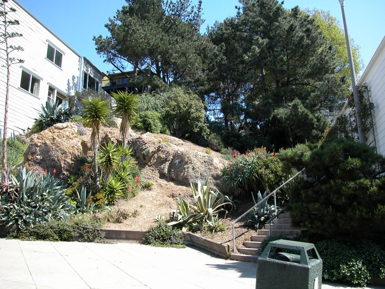
Eugenia Garden, on Eugenia Avenue between Prospect Avenue and Winfield Street
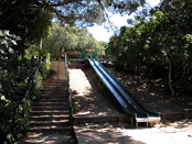
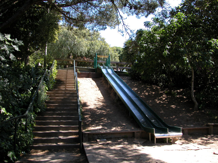
Esmeralda Playground, between Coleridge Street and Lundys Lane


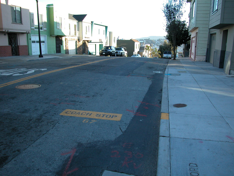
Bus stop on Bradford Street at Bernal Heights Boulevard, near Bernal Hill
The 67 Bus at Bradford Street and Bernal Heights Boulevard
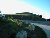
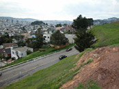
Looking towards Bernal Hill from Bradford Street

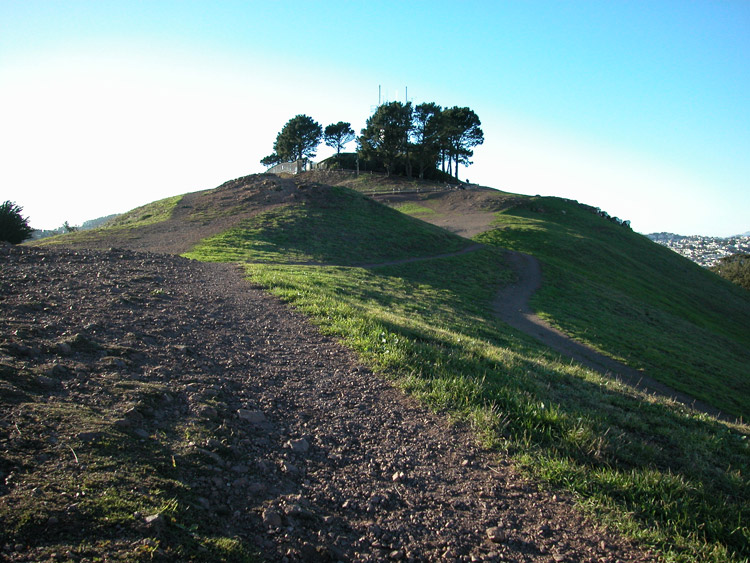
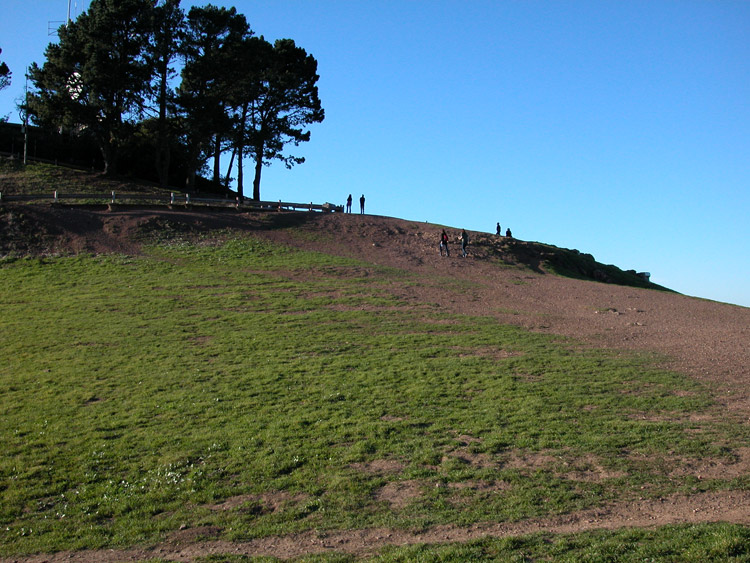
Path on Bernal Hill
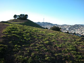
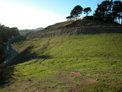
Bernal Hill
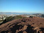
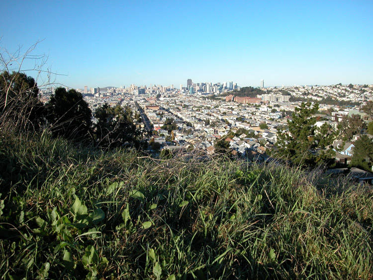
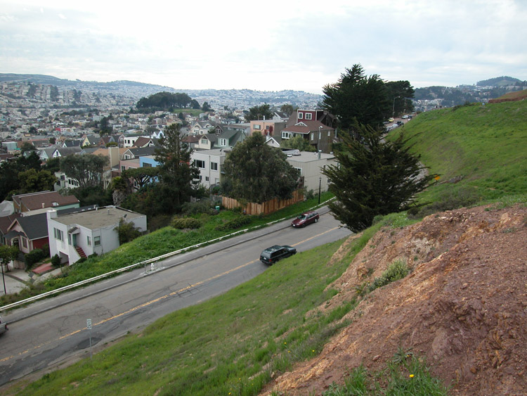
Looking east from Bernal Hill

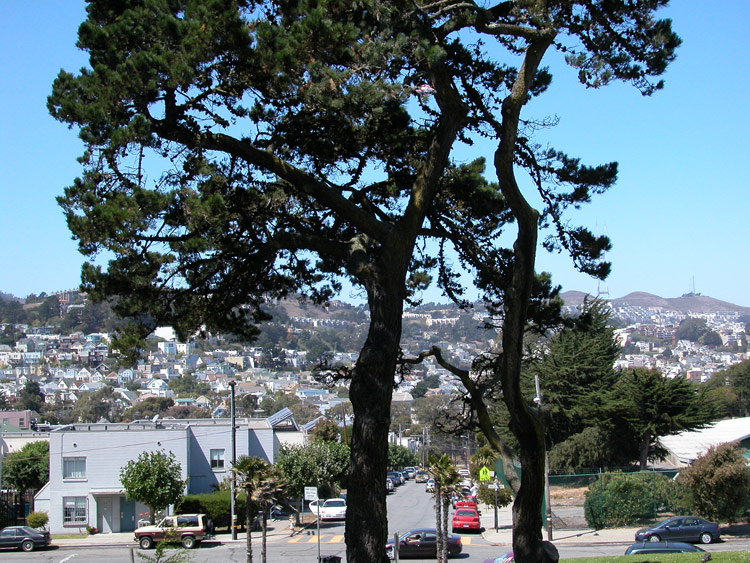
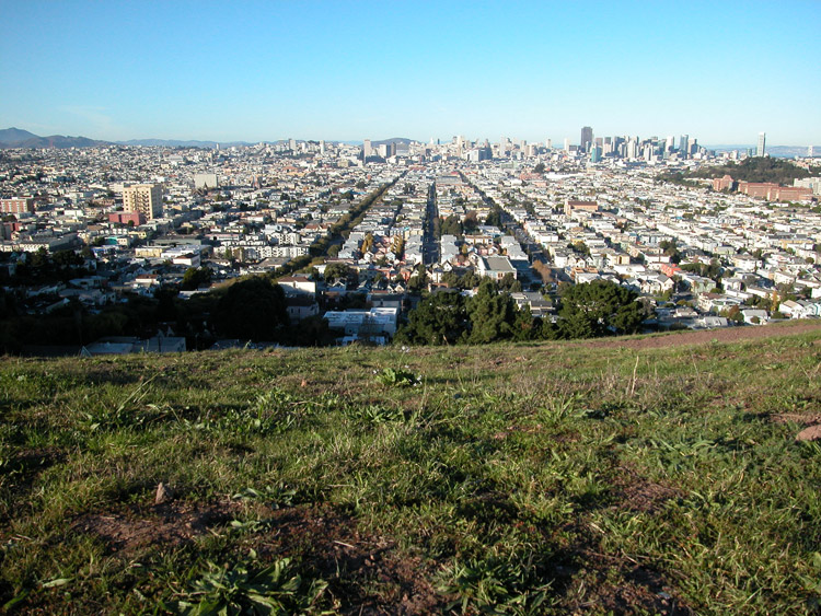
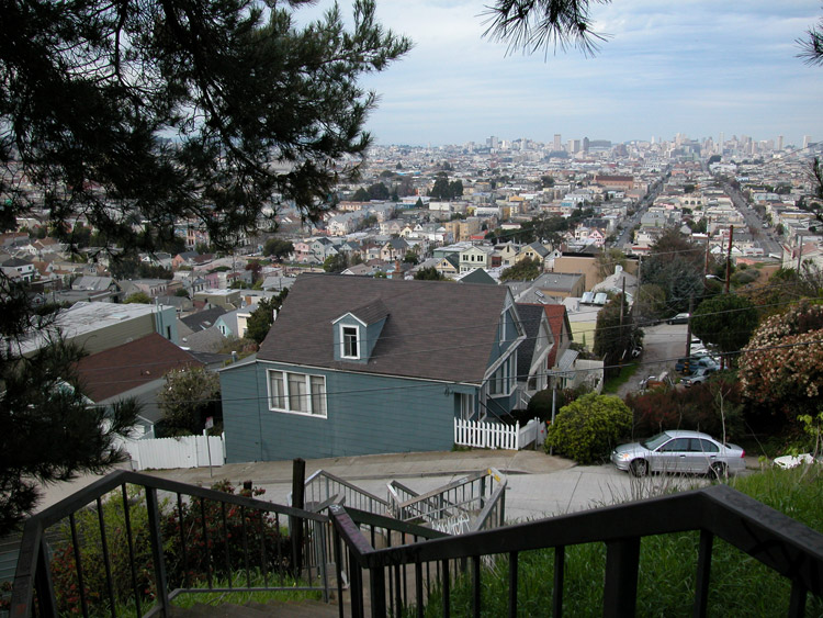
City view from top of Bernal Heights Park
North view from Bernal Heights Park
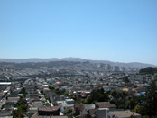
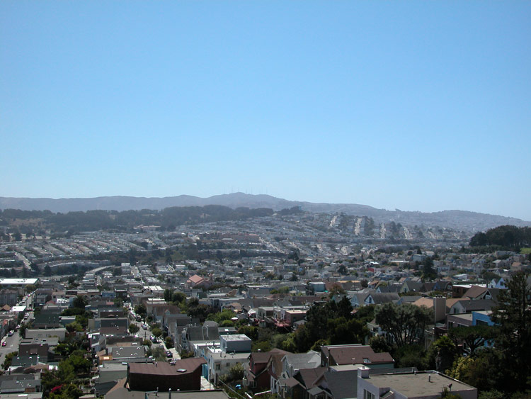
South view from Bernal Heights Park
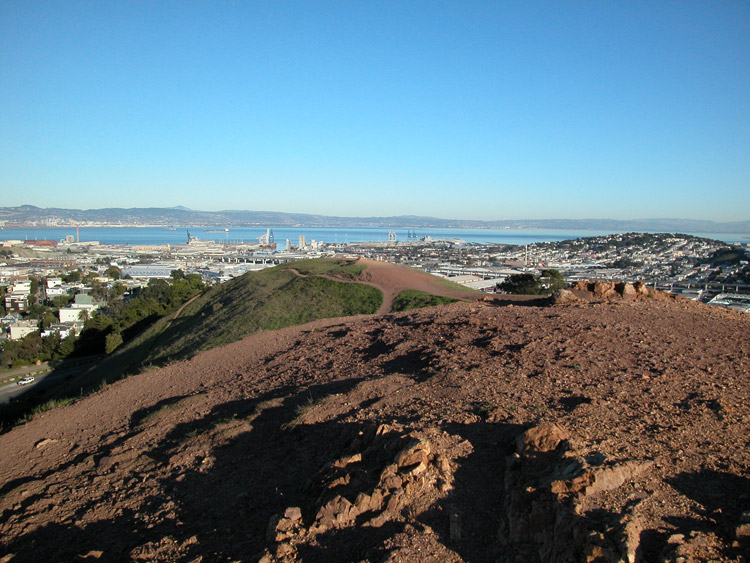
Southeast view from Bernal Hill, including the bay and Candlestick Park
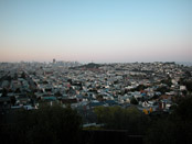
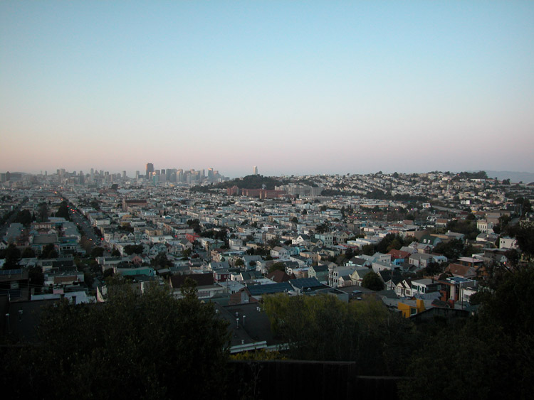
City view at dusk from north side of Bernal Hill

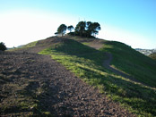
The top of Bernal Hill

The south side of Bernal Hill
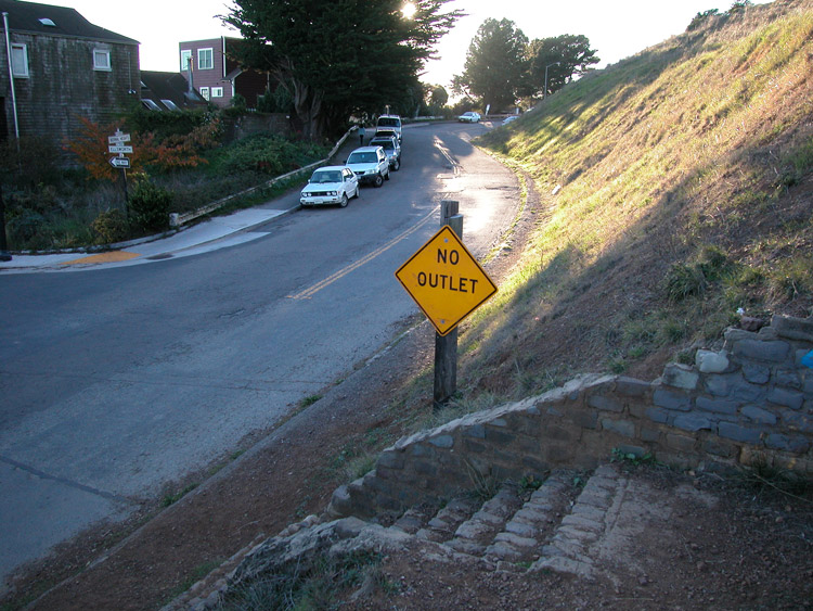
Bernal Heights Boulevard at the edge of Bernal Hill

Stairs leading down from Bernal Hill, on the south side

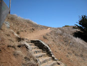
Steps leading up Bernal Hill from south side of Bernal Heights Park
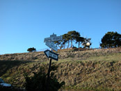
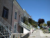
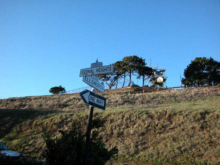
Ellsworth Street at Bernal Heights Boulevard on the south side of Bernal Hill
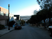
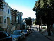
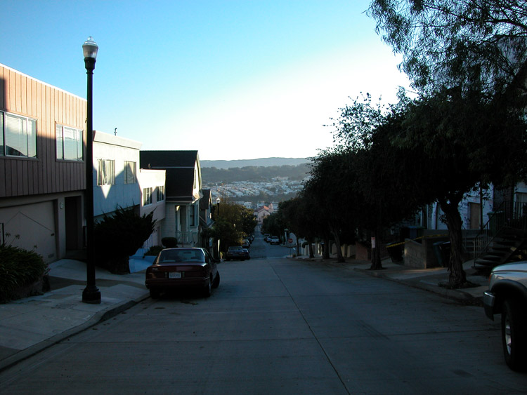
Ellsworth Street, looking down toward Cortland Avenue

Prentiss Street in Bernal Heights, looking south

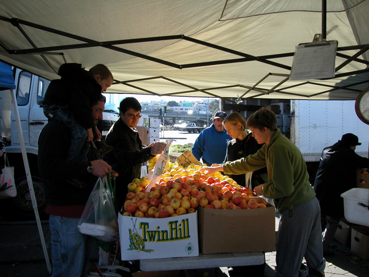
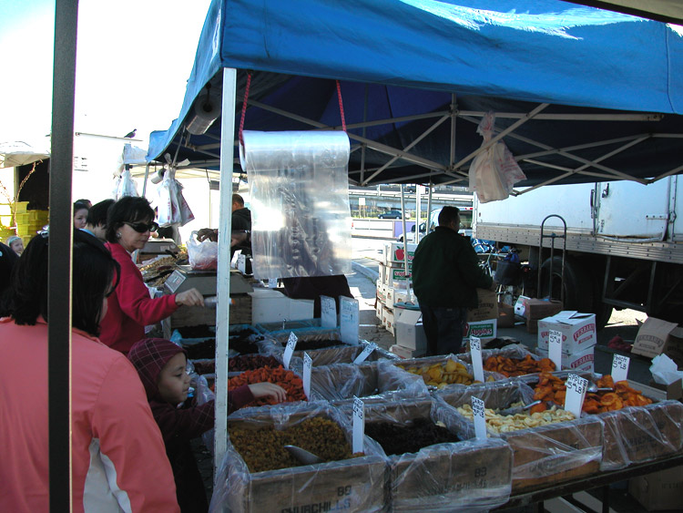
Saturday Farmer's Market on Alemany Boulevard in Bernal Heights
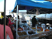
Saturday Farmer's Market on Alemany Boulevard in Bernal Heights
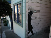
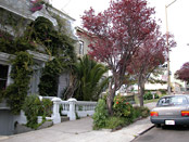
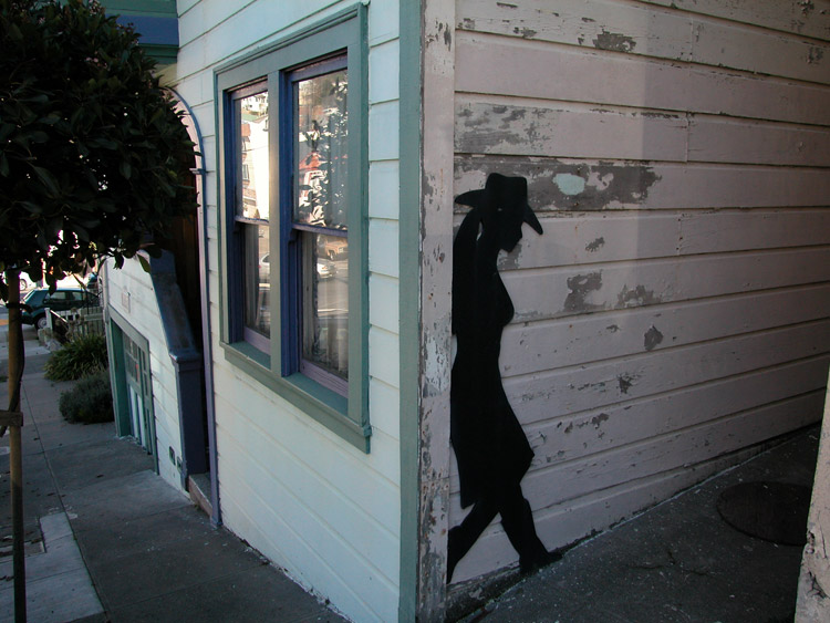
Cowgirl house in Bernal Heights

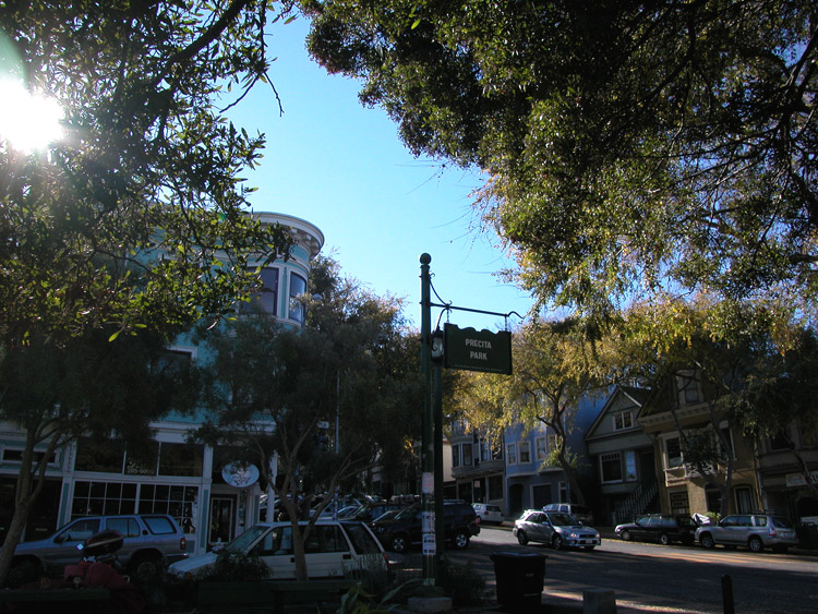
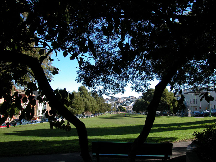
Precita Park entrance on Folsom Street
Precita Park, from Folsom Street

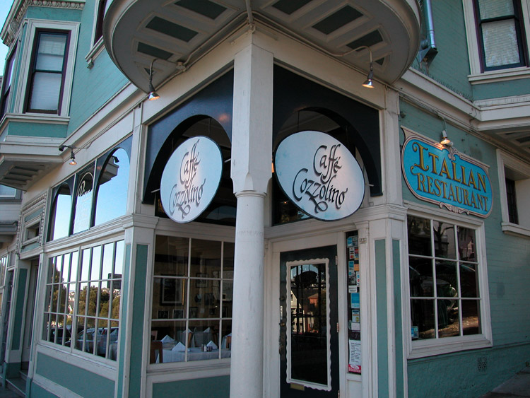
Caffe Cozzolino, Italian restaurant next to Precita Park on Folsom Street
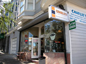
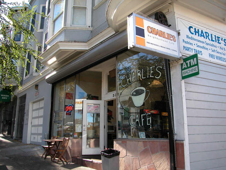
Charlie's Cafe on Folsom Street
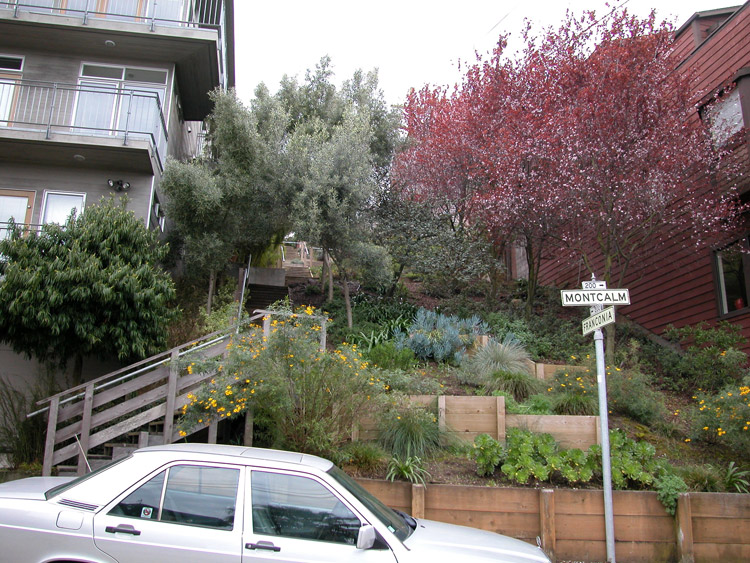
Stairway at Franconia Street
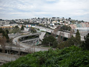
View of freeway interchange from the end of Peralta Avenue
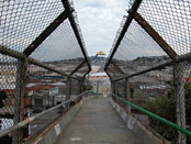
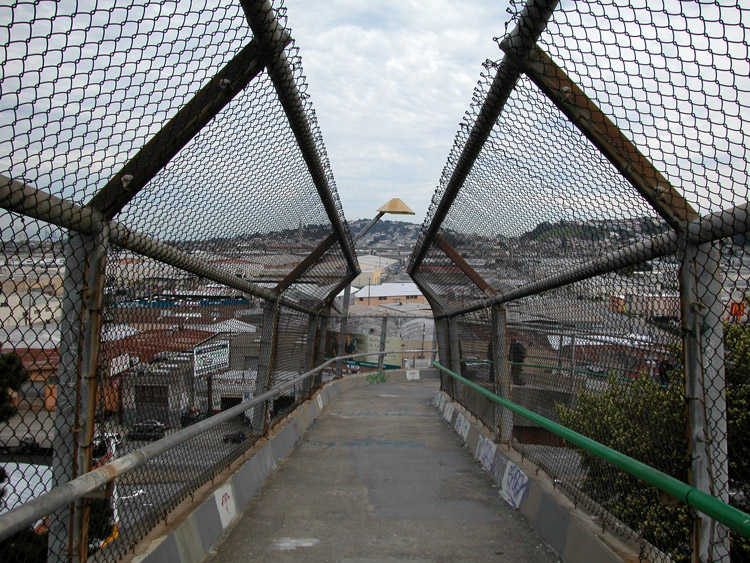
Walkway above Bayshore Boulevard at the end of Faith Street, at Holladay Avenue

Steps at the end of Joy Street

The end of Joy (Street)
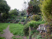
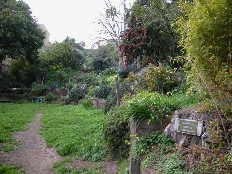
Miller Memorial Grove
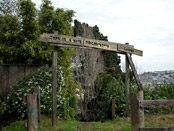
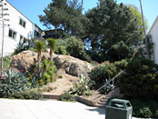
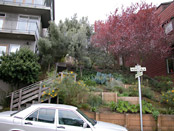
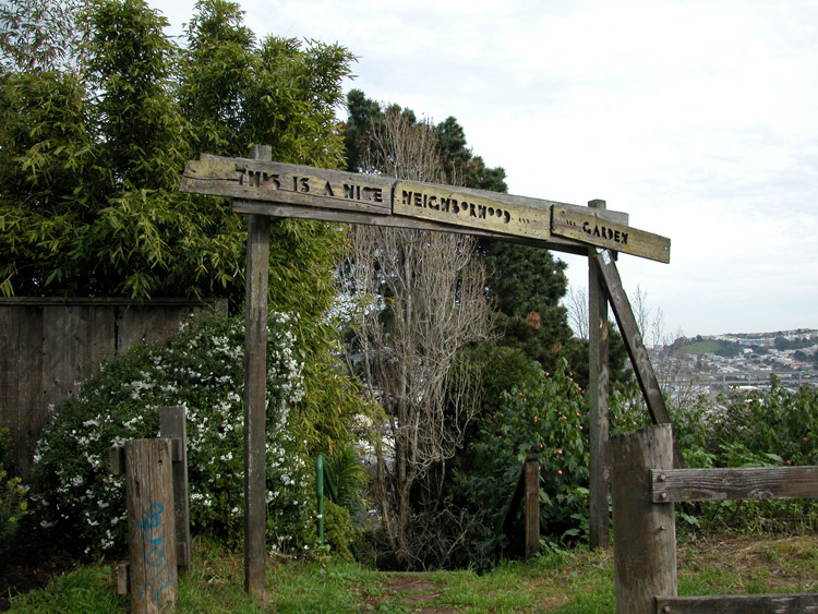
This is a nice neighborhood garden


Steps at Rutledge Street
- Bernal Heights info on other sites
- Bernal Heights on Wikipedia
- History of Holly Park on Neighborhood Parks Council site
- Precita Park History on Neighborhood Parks Council site
- Alemany Farmer's Market on sfgov.org
- Alemany Flea Market on Yelp
Comments
Comment about Bernal Heights here: