Duboce Triangle
Now: The geographic and functional crossroads connecting several key neighborhoods - nearly every Muni train passes through either above or below ground. Duboce Triangle lacks its own commercial thoroughfare, being more the glue to those adjacent to it. The rectangular stretch of lawn that is Duboce Park makes dogs happy. The well preserved Victorians make residents happy.
Then: Apparently some foresight and recognition of value came into play when the homes and streets in this area were eligible for demolition and replacement with mid-20th century boxes.
How To Get There: Duboce Triangle is one of the easiest places to get to on Muni from anywhere. The N-Judah stops directly at the edge of Duboce Park, the underground lines (M, L, K, T) all stop at Church Station one block southeast, and the J-Church goes by above ground. From the Lower Haight, it's a short jog over.

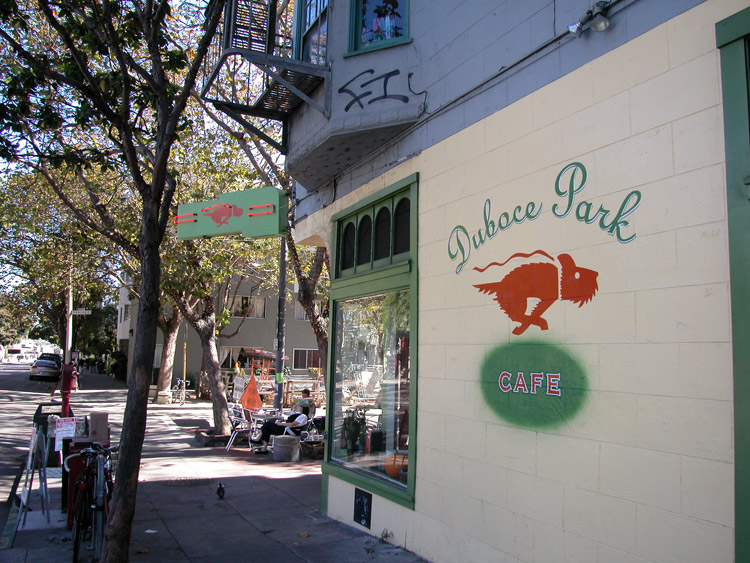
Duboce Park Cafe, on Sanchez Street at Duboce Street
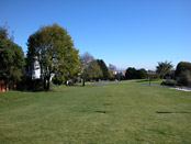
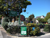
Duboce Park
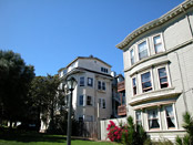
Houses on north side of Duboce Park


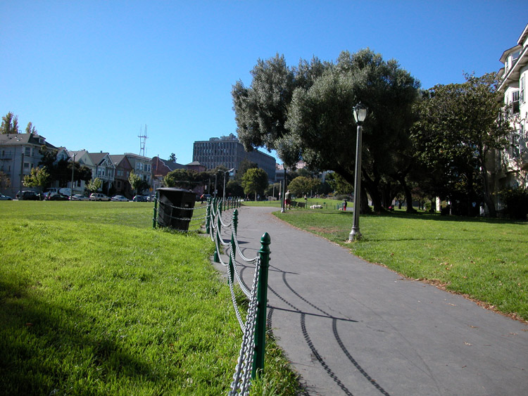
Walking path at the east side of Duboce Park

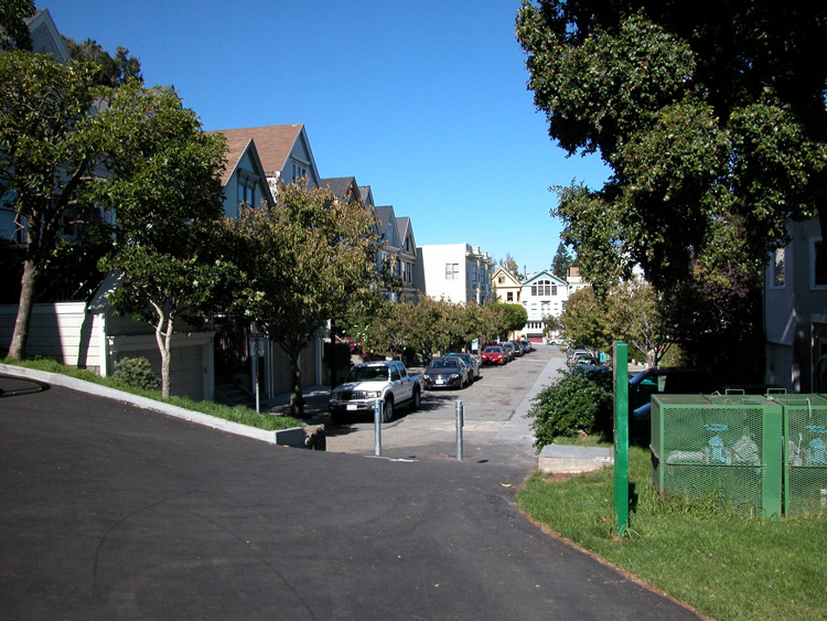
Entry to Carmelita Street, from the northwest corner of Duboce Park
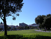
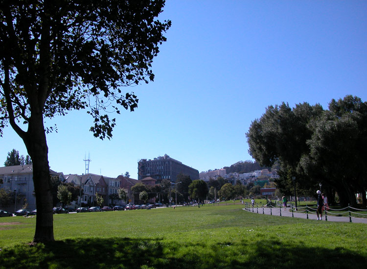
Looking east across Duboce Park

Playground on the west side of Duboce Park

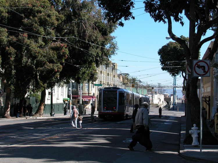
The N-Judah Muni Train leaving the intersection of Church and Duboce
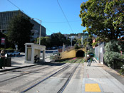
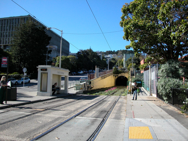
East Portal Station, at the south edge of Duboce Park

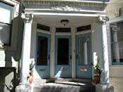
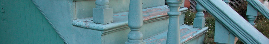
Porch in Duboce Triangle
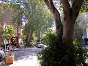
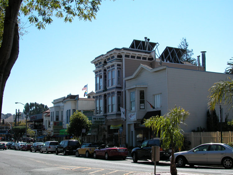
Noe Street in Duboce Triangle

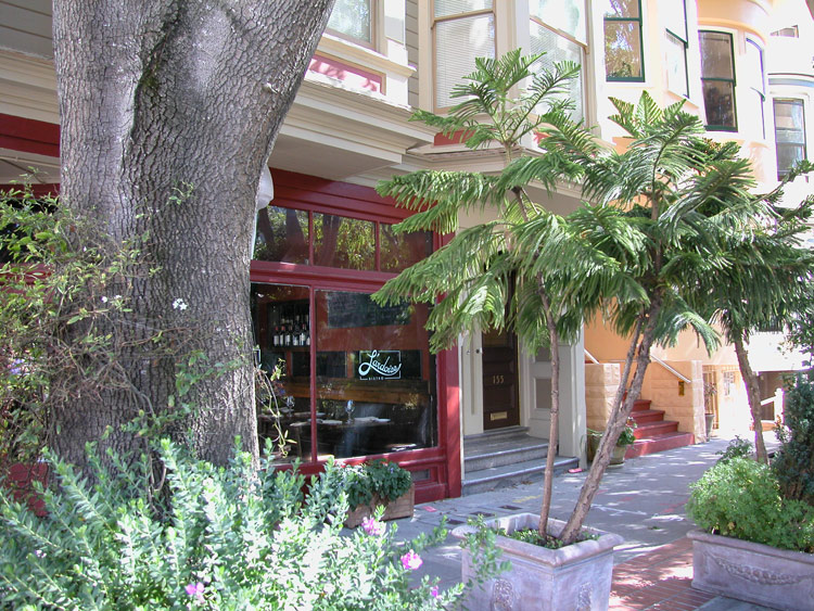
L'ardoise French Bistro on Noe Street in Duboce Triangle


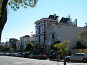
Noe Street at Market
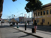
Waiting for the N-Judah on Duboce Street at Church

- Duboce Triangle info on other sites
- Duboce Triangle on Wikipedia
- Duboce Triangle Neighborhood Association
- Friends of Duboce Park - a group of neighbors taking care of the park
Comments
Comment about Duboce Triangle here: