Bayview/Hunters Point
Now: The door between Bayview and the rest of San Francisco opened slightly with introduction of the Third Street (T) Muni Line, marginally softening its reputation as toxic and dangerous corner of the city. Bleak beauty and photo opportunities exist all along water's edge. Adjacent Hunters Point contains a former navy shipyard, now an artist colony.
Then: The naval reservation and shipyard at Hunters Point dates back to 1870. Both navy and commercial vessels used the port until 1974.
How To Get There: Third Street and the T-Muni line run directly into Bayview near the south terminal at Sunnydale Station. Hunters Point and the shipyard can be reached from Evans Avenue off of Third Street. This leads into Innes Avenue, which goes into Hunters Point.
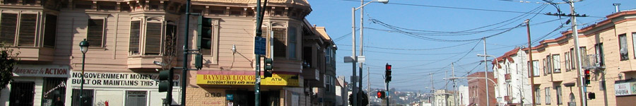
Third Street in Bayview
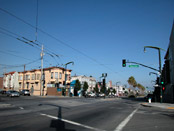
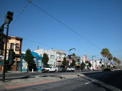
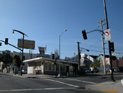
Third Street at Newcomb
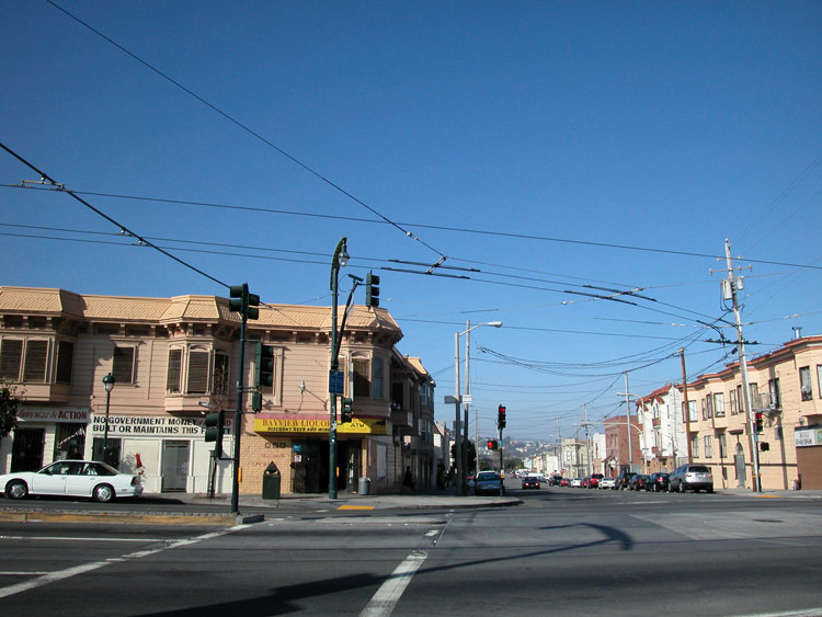
Bayview Liqours

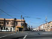
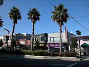
Third Street
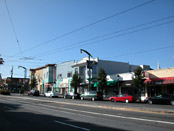
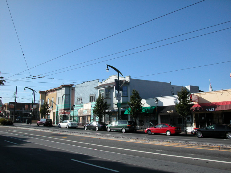
Businesses along Third Street in Bayview
B&J Burgers on Third Street


Bayview Hill
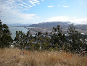
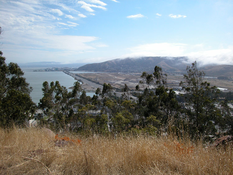
Looking south from Bayview Hill
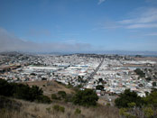
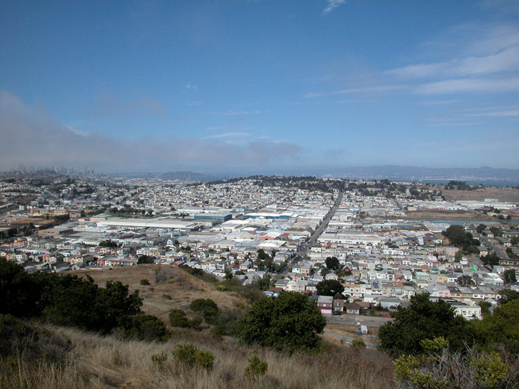
Looking northeast from Bayview Hill

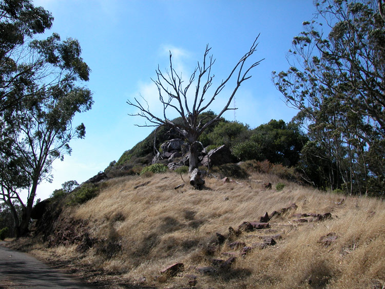
The top of Bayview Hill

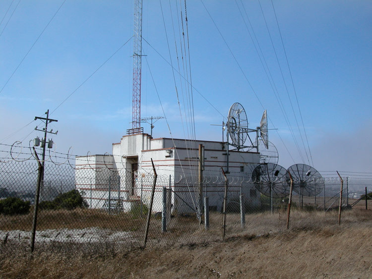
Structure at the north side of Bayview Hill
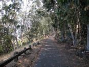
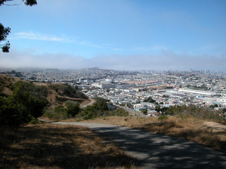
Path on Bayview Hill

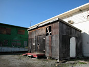
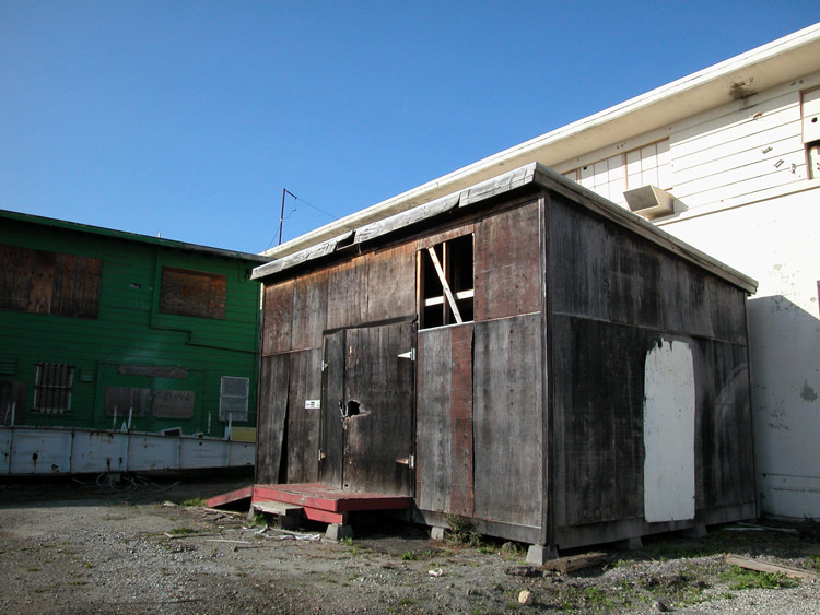
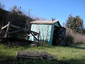
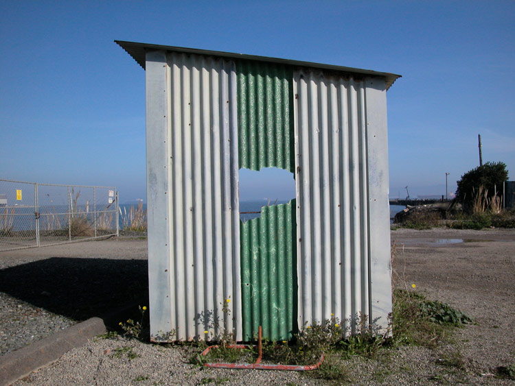
Shack in the shipyard at Hunters Point
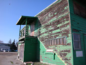
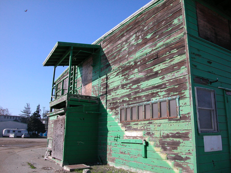
Building in the shipyard at Hunters Point
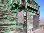
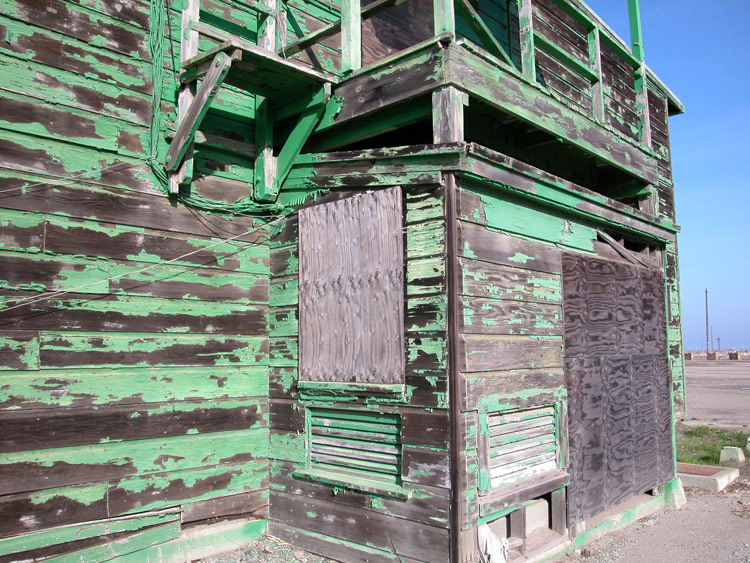
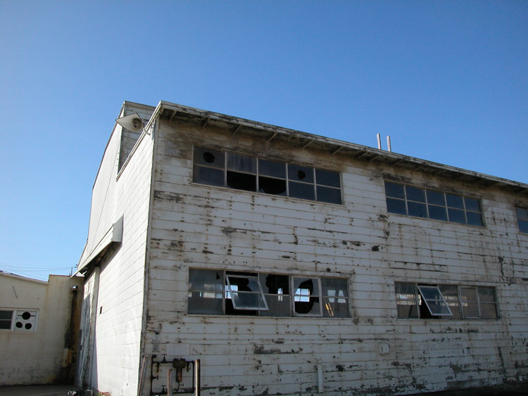
Building in the shipyard at Hunters Point
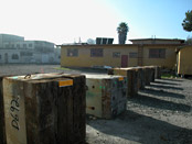
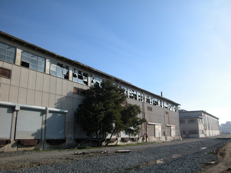
Shipyard at Hunters Point

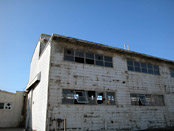
Warehouse at Hunters Point
Building in the shipyard at Hunters Point
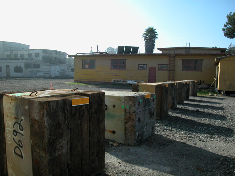
Shack in the shipyard at Hunters Point

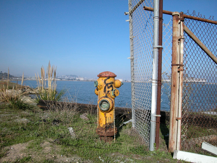
Fire hydrant at water's edge
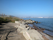
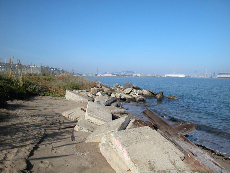
Shoreline of bay at Hunters Point

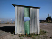
Broken shack in shipyard at Hunters Point
- Bayview/Hunter's Point info on other sites
- India Basin Shoreline Park
Comments
Comment about Bayview here: