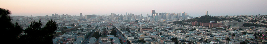
Bayshore Boulevard
Now: Running between the border of Bernal Heights and the industrial netherland of the city's eastern edge, it is the thoroughfare that might have been. Home improvement retailers find a place to exist here.
Then: Essentially the discarded skin of the 101 freeway - Bayshore Boulevard used to be the freeway, until the currently used "James Lick Freeway" was built in the 1950s.
How To Get There: Bayshore Boulevard runs parallel to Highway 101 from the south edge of the city up to Cesar Chavez Street, from which you can turn directly on to it. There is also a pedestrian bridge at the intersection of Faith Street and Holladay Street in east Bernal Heights (aka Peralta Heights) that crosses over 101 and ends at Bayshore.
Bayshore Boulevard from walkway above
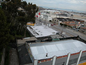
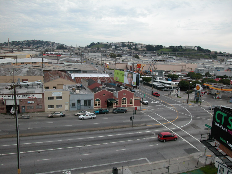
Bayshore Boulevard from above
Warehouse along Bayshore Boulevard and Loomis Street


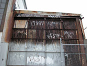
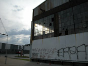
Corrugated metal shed on Loomis Street
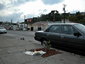
This car is for sale
Goodman Lumber is closed


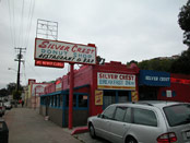
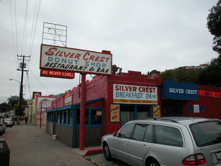
Silver Crest Diner on Bayshore Boulevard
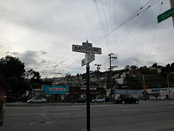
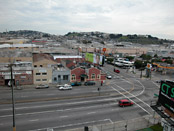
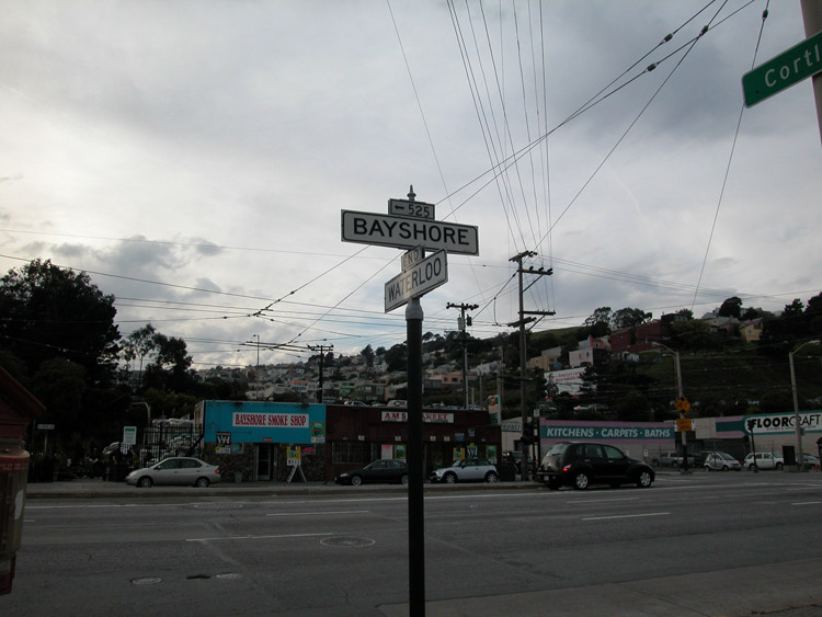
Intersection of Bayshore Boulevard and Waterloo
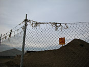
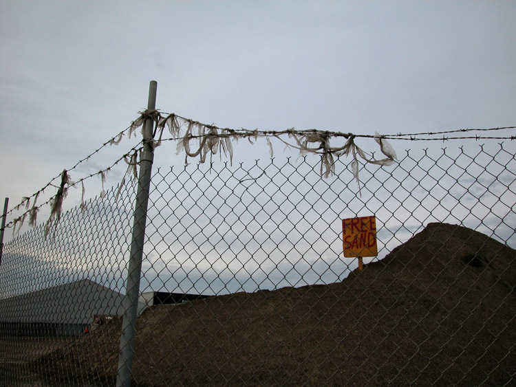
Free sand
Bayshore residences
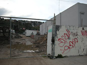
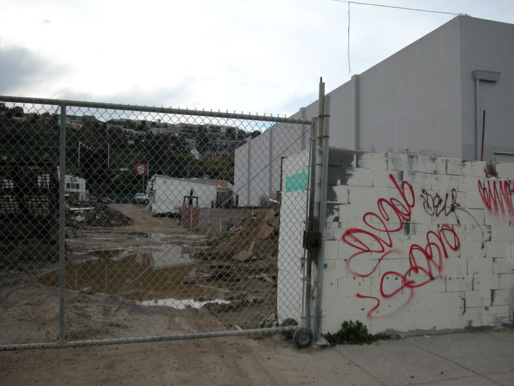
Workyard after rain
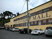
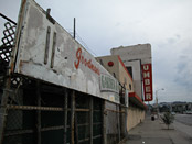
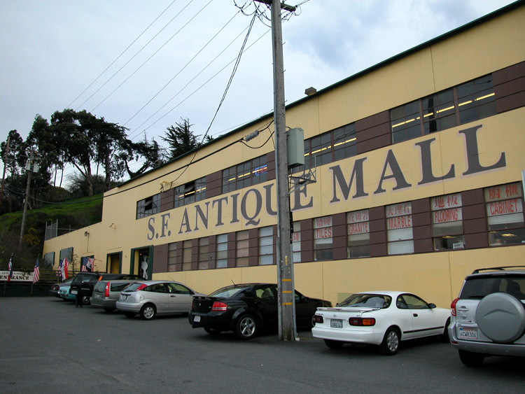
S.F. Antique Mall

- Bayshore Boulevard info on other sites
- Bayshore Freeway on Wikipedia
Comments
Comment about Bayshore Boulevard here: