Ashbury/Corona Heights
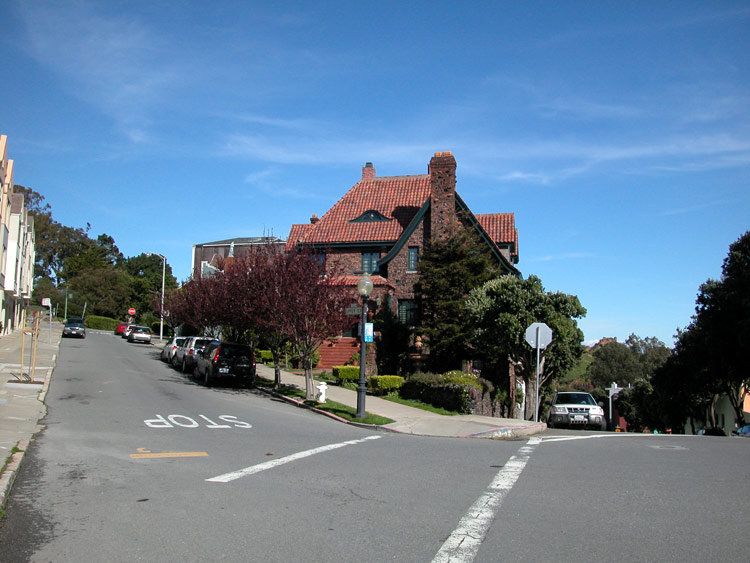
Now: Two significant, nearly adjoining peaks connecting Haight Ashbury and Castro. Buena Vista Park is a thickly wooded park with twisty paths and front lawn emptying out to central Haight Street. Trees obscure views from all but a couple of vantage points. Corona Heights Park is a rocky outcropping with unobstructed views, and includes the Randall Museum (of natural history). Mansions around Buena Vista and Ashbury Heights are among the city's most elegant.
Then: Originally named Hill Park, Buena Vista was established in 1867 and is San Francisco's oldest officially designated park. Broken pieces of headstones from early San Francisco cemetaries are embedded in the park's stone walls.
How To Get There: From the Upper Haight, Masonic Avenue goes up several blocks and then splits at Upper Terrace. From here, you're a block away from the easiest entrance points to both Buena Vista Park and Corona Heights. Buena Vista Park can also be entered directly from Haight Street, and Corona Heights Park can be entered at Flint Street, at the west end of 16th Street, two blocks north of the Muni station at Castro and Market.

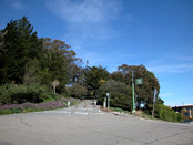
Intersection of Masonic Avenue and Upper Terrace - Buena Vista Park to the left, Corona Heights Park to the right
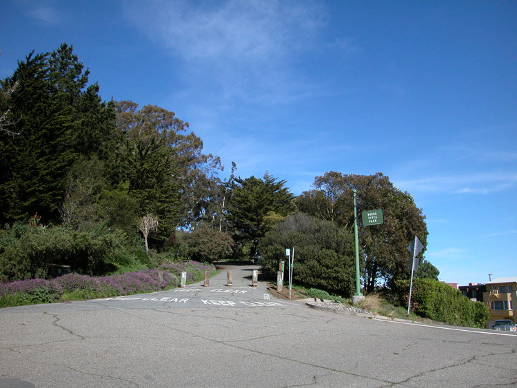
Southwest entrance to Buena Vista Park at Upper Terrace
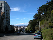
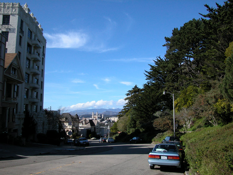
Looking Down Buena Vista Avenue, at west edge of Buena Vista Park
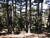
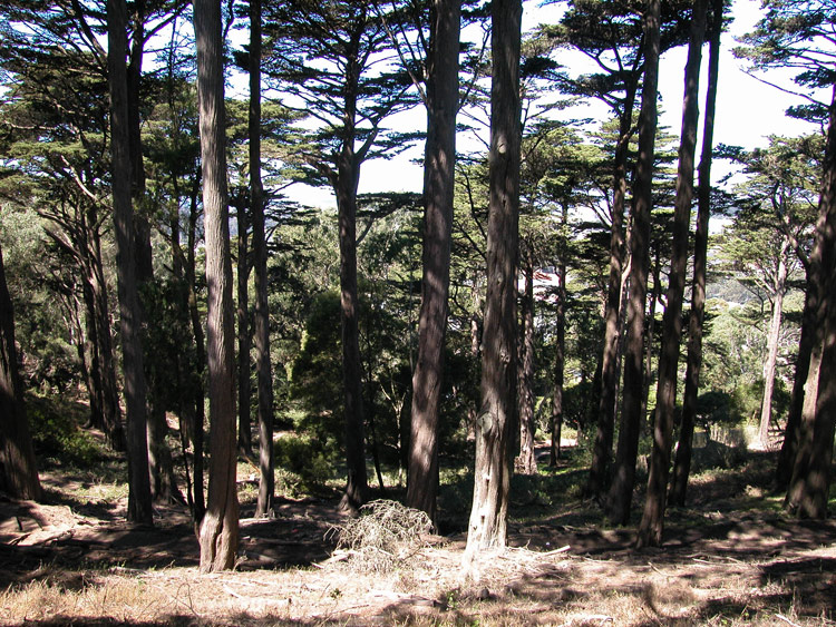
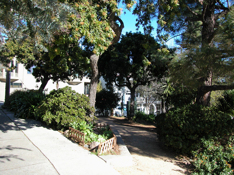
Inside Buena Vista Park

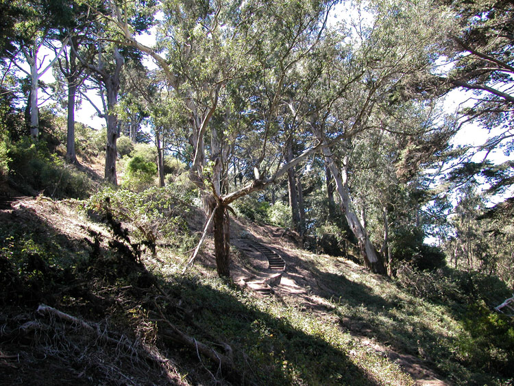
Paths inside Buena Vista Park
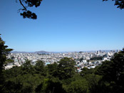
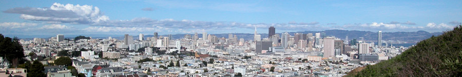
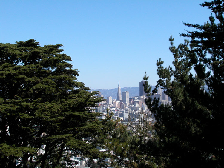
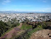
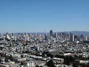
City view, looking south from top of Buena Vista Park
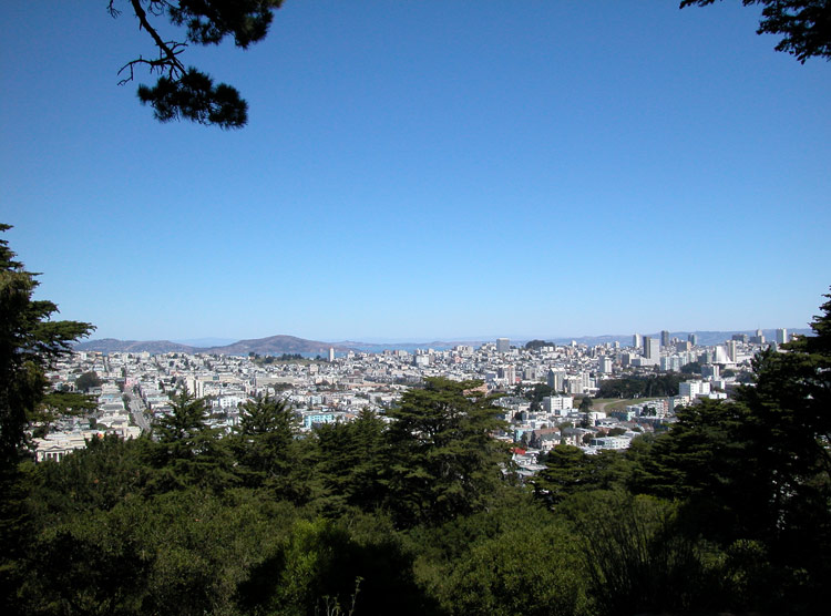

City view from Buena Vista Park
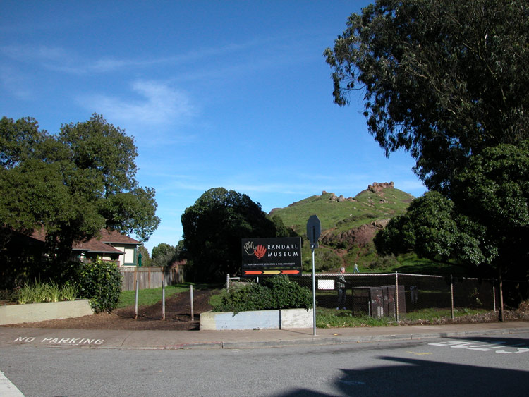
West entrance to Randall Museum and Corona Heights Park, from Roosevelt Way

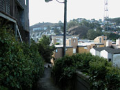
Path leading up west side of Corona Heights Park
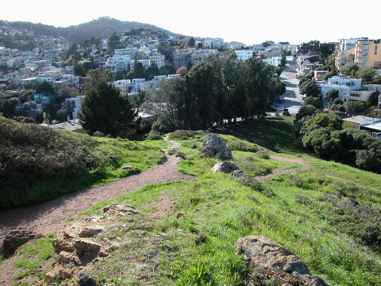
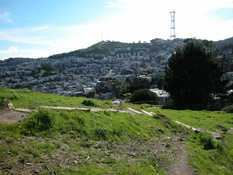
Path up Corona Heights Park and view to the southwest

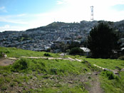
City view near the top of Corona Heights Park
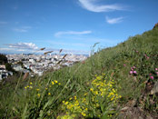
Wildflowers on Corona Heights

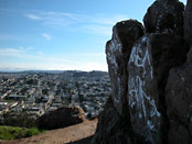
Rocks at the top of Corona Heights Park
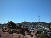
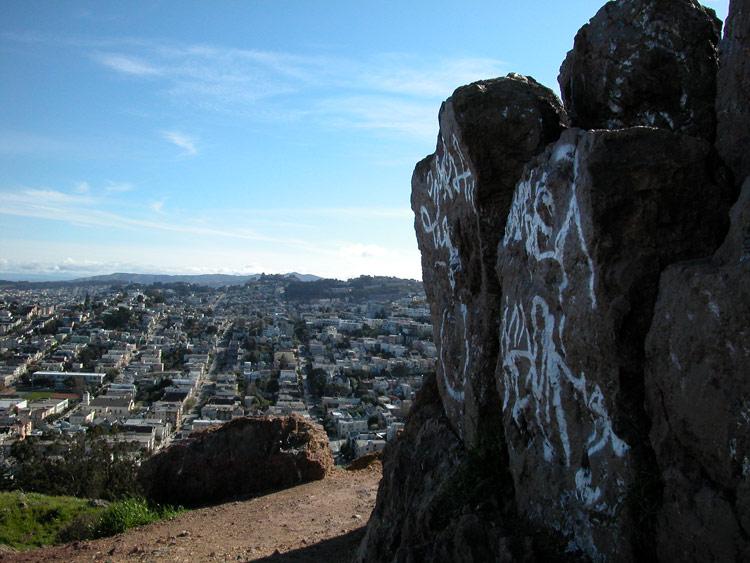
Rock formations (chert) at the top of Corona Heights
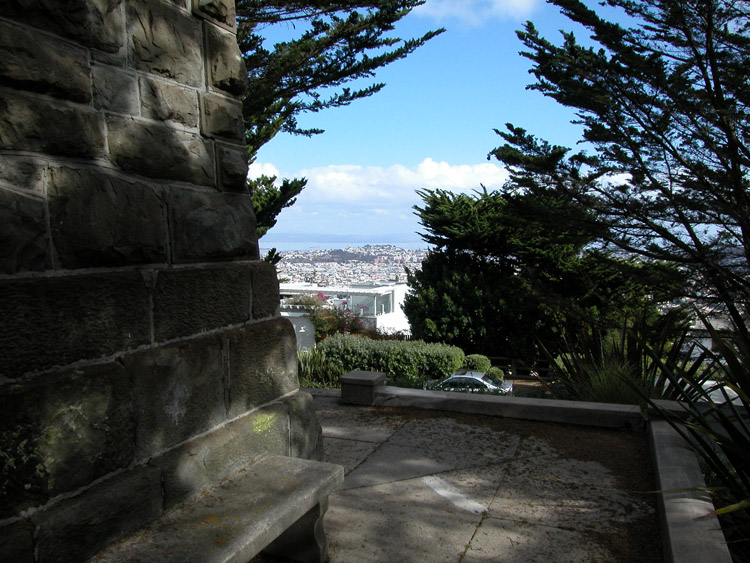
View to the east, and the bay, from Corona Heights
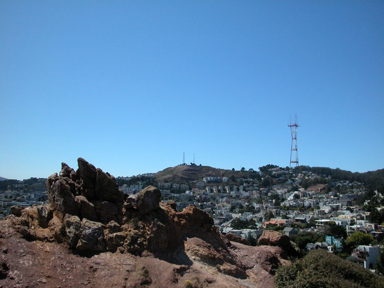

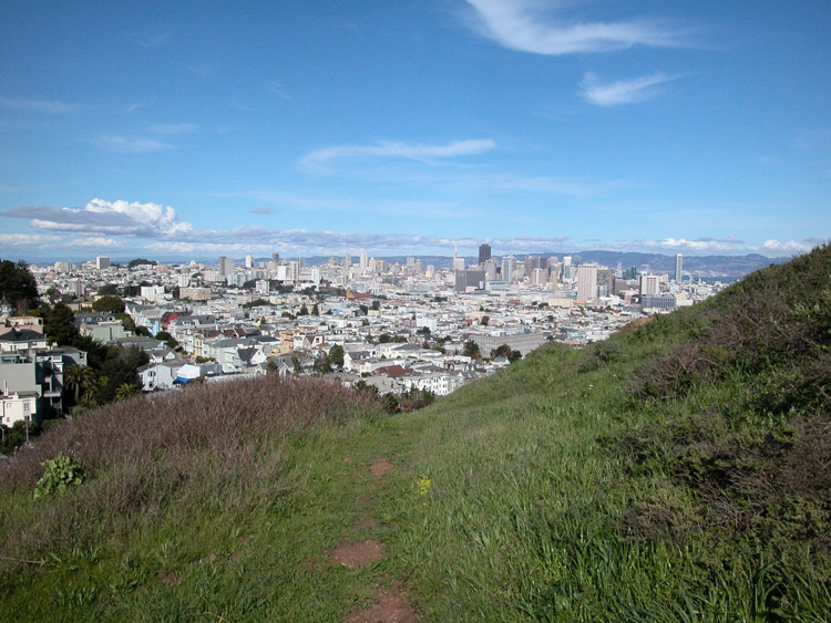
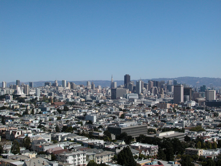
Downtown city view from Corona Heights Park
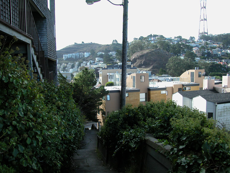
Monument Way Stairway leading to Upper Terrace from the north side of 17th Street, near Clayton Street
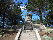
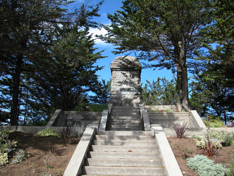
The Olympus Monument base and stairway at the center of the Upper Terrace loop
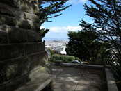
From the side of the Monument base, looking east
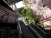
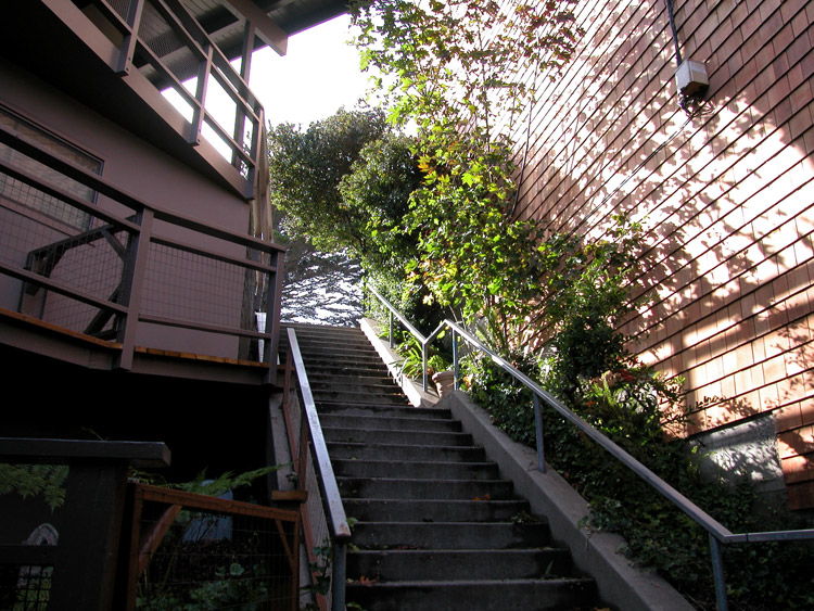
Stairway leading down from Upper Terrace and Monument
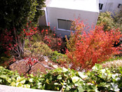
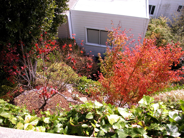
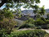
Vertical gardens at the edge of Upper Terrace hill
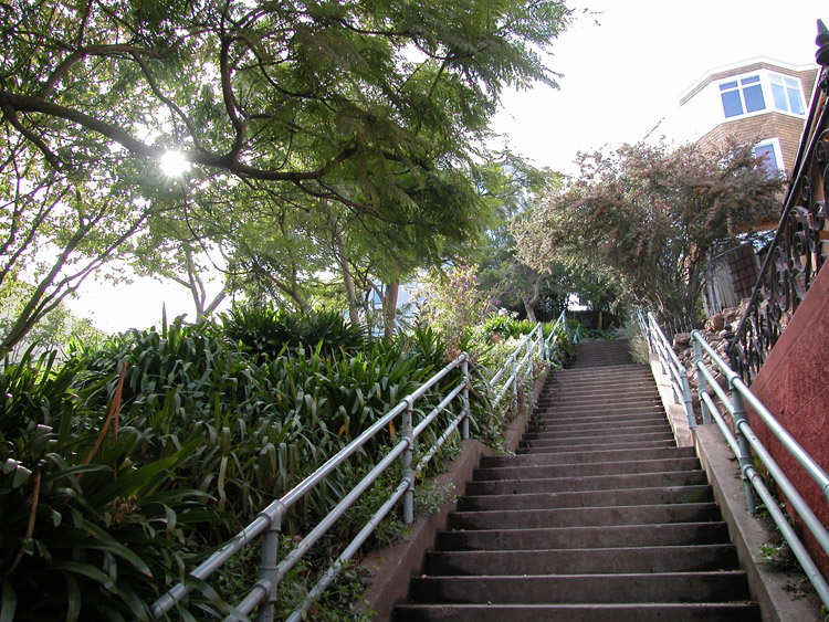
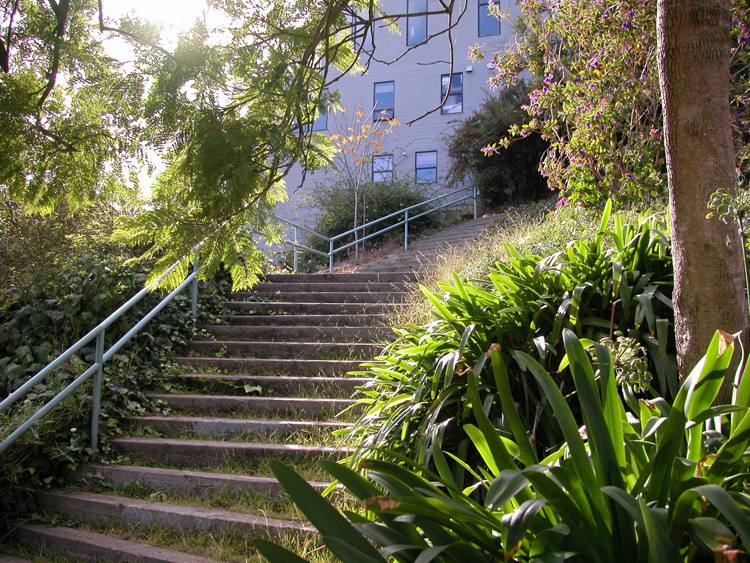
The top of Vulcan Stairway, at Levant Street
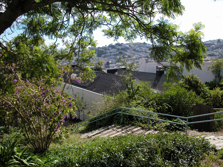
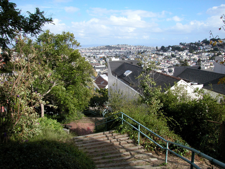
Looking down Vulcan Stairway, near the top at Levant Street

One of two sets of steps near the bottom of Vulcan Stairway


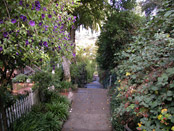
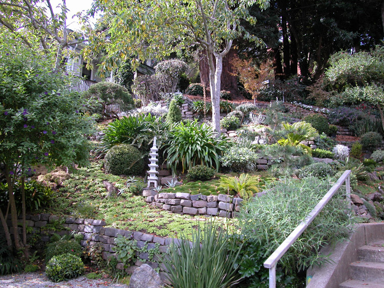
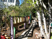
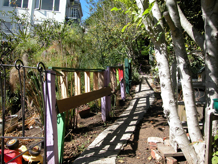
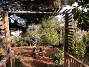
Garden near the bottom of Vulcan Stairway

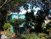
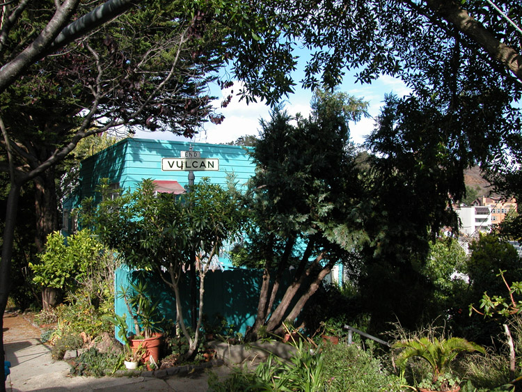
The bottom of Vulcan Stairway, at Ord Street

Looking up from the bottom of the Saturn Street Stairway, at Ord Street
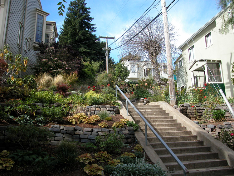
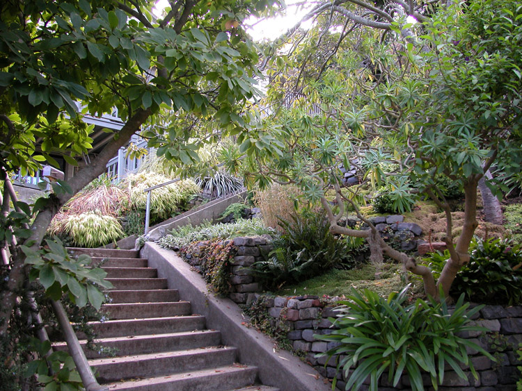
Looking up one side of the Saturn Street Stairway
Saturn Street Stairway, looking down

View near the top of the Saturn Street Stairway
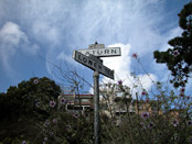
Street sign at the top of the Saturn Street Stairway, at Lower Terrace
Entrance to Al's Park, on Corbett Avenue between Mars Street and Clayton Street
Inside Al's Park


The side of Al's Park, looking toward residential yards
Near the back of Al's Park, facing Market Street

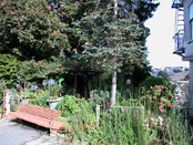
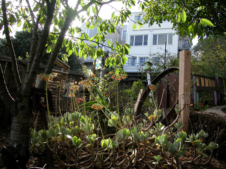
Community Garden at the corner of Corbett Avenue and Clayton Street

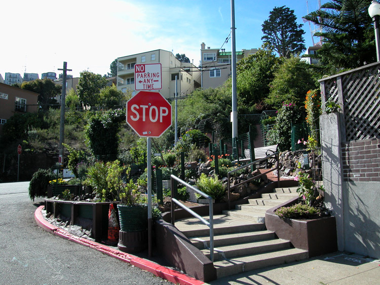

Mini Park at 17th Street and Corbett Avenue
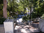
Corbin Stairway on 17th Street near Temple Street

- Ashbury/Corona Heights info on other sites
- Buena Vista Park on Wikipedia.
- Info about gravestone remnants in Buena Vista Park
- Corona Heights Park on Wikipedia
- Randall Museum - science museum inside Corona Heights Park
Comments
Comment about Ashbury/Corona Heights here: