Potrero Hill
Now: If a giant cat lived in San Francisco, Potrero Hill is where it would pick as its spot to sleep. It's that coveted high cozy corner, peaceful but not too far from the action. Like Bernal Heights, Potrero is absolutely rich with little surprises that require some dedicated exploration to find - lovingly cultivated mini-gardens and hidden stairways that someone cared enough to build and maintain.
Then: Farming and shipbuilding both figure in Potrero's past - its name refers to pasture, and its streets are named after battleships (which in turn were mostly named after states).
How To Get There: The 22-Fillmore Muni bus line (which travels all the way up and down Fillmore) also somewhat oddly makes its way directly to the heart of Potrero Hill at 18th Street (via 16th Street in the Mission). This bus has very long and slow route, so catching it can be iffy. The 10-line also skirts Potrero Hill at 17th Street, and can be boarded near Montgomery Station, at 2nd Street. Parking is usually available around 18th Street if you're willing to drive up or down a cross street to look for it.
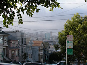
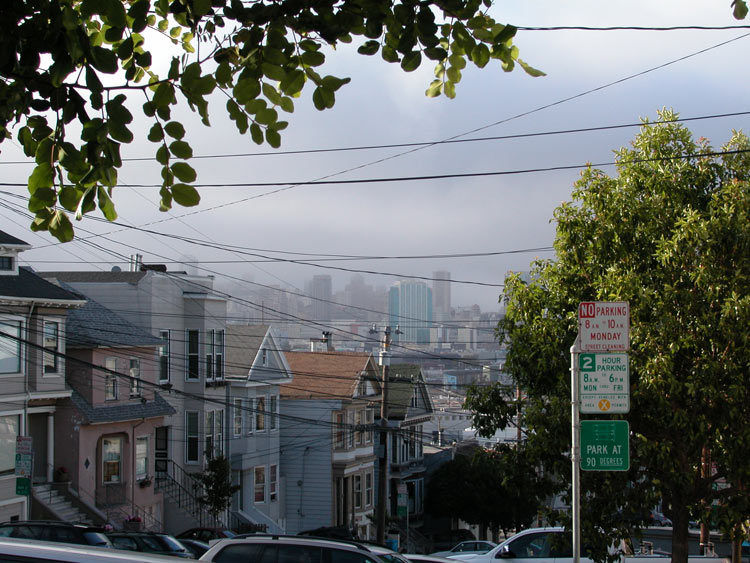
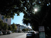
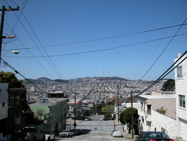
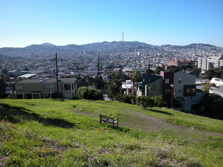
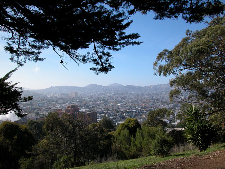
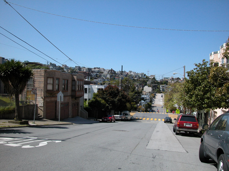
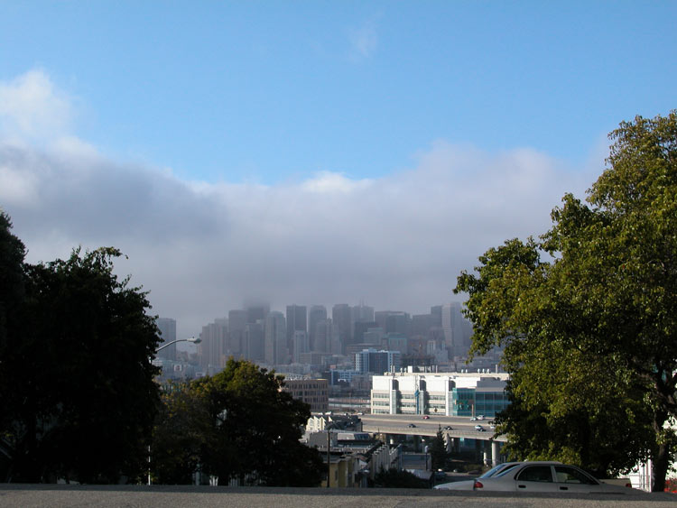
Looking north toward downtown, from Potrero Hill
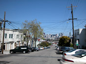
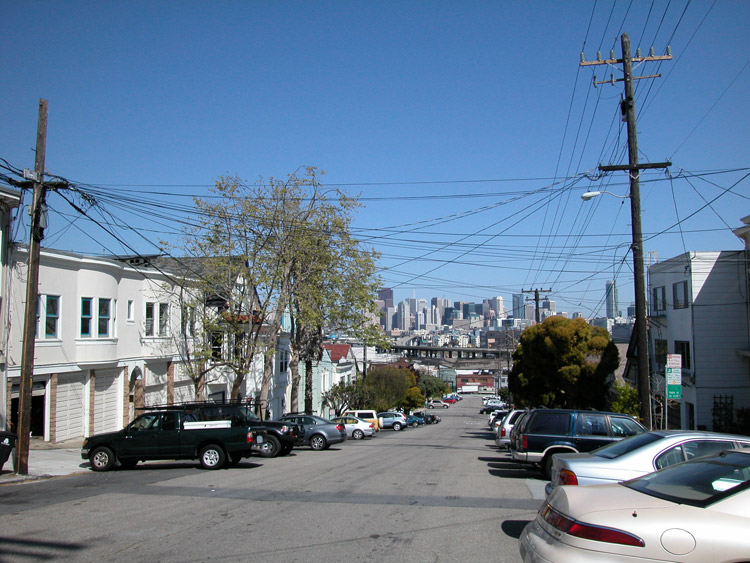
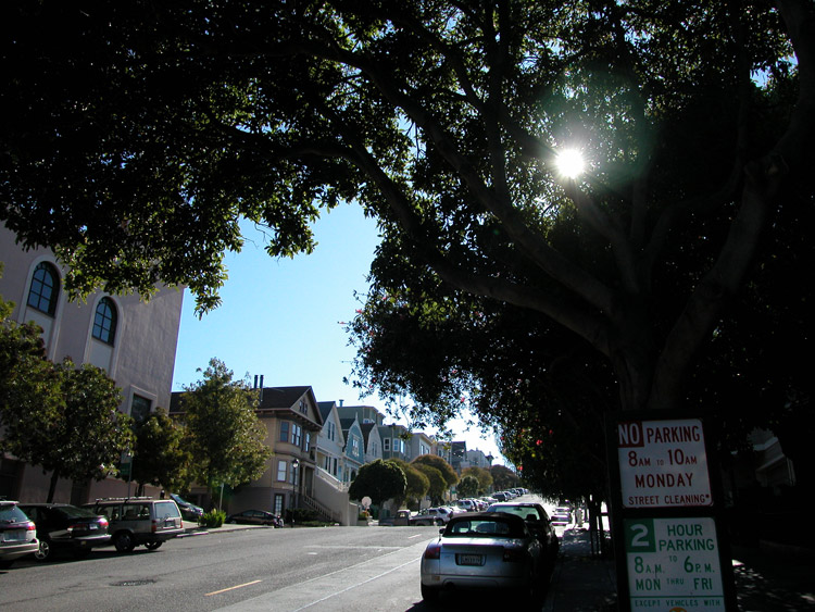
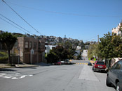
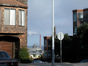
Texas Street at 18th Street, looking north toward downtown
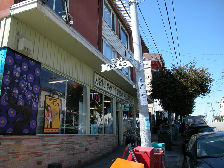
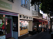
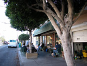
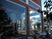
New Potrero Market, at the corner of 18th and Texas Streets
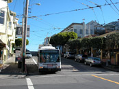
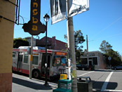
22-Fillmore bus on 18th Street in Potrero Hill
Baked, on 18th Street near Missouri Street
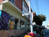
Aperto Italian Restaurant, on 18th Street at Missouri Street


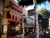
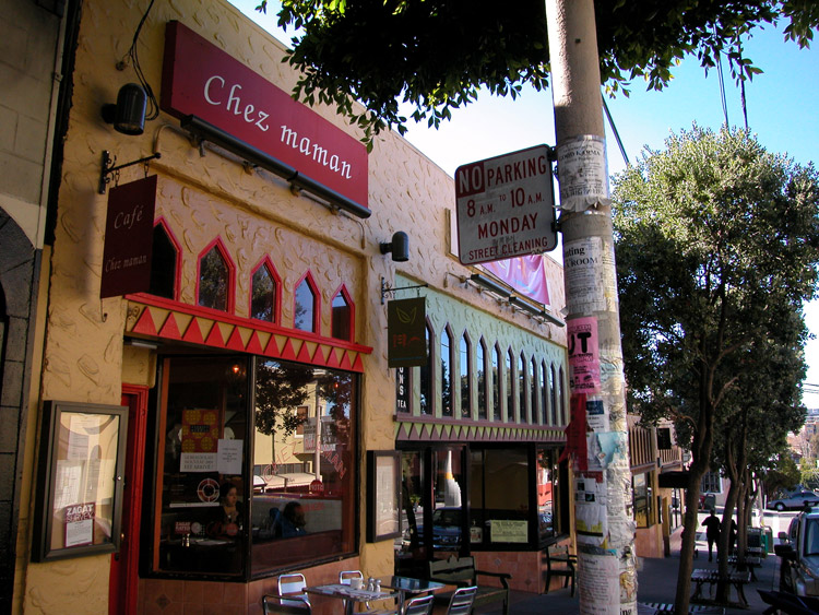
Chez Maman, on 18th Street near Connecticut Street

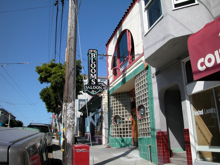
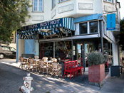
Blooms Saloon, on 18th Street near Texas Street

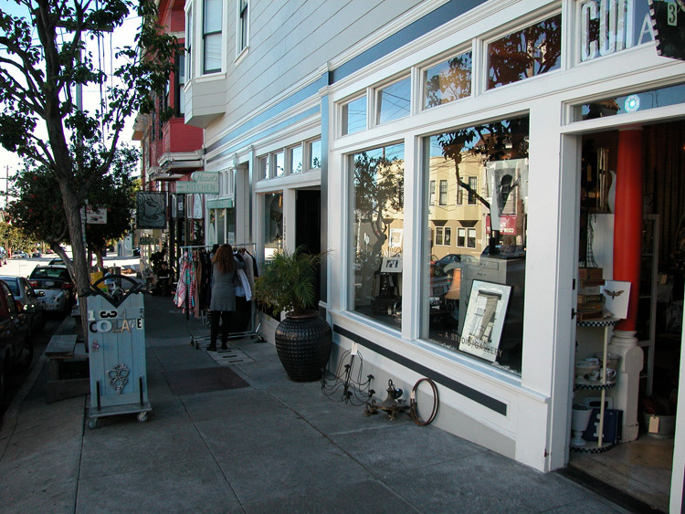
Collage Gallery on 18th Street

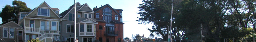
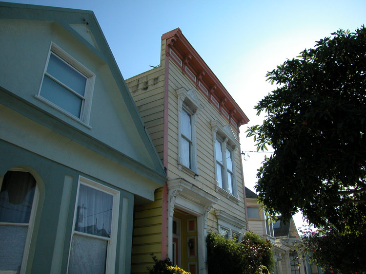
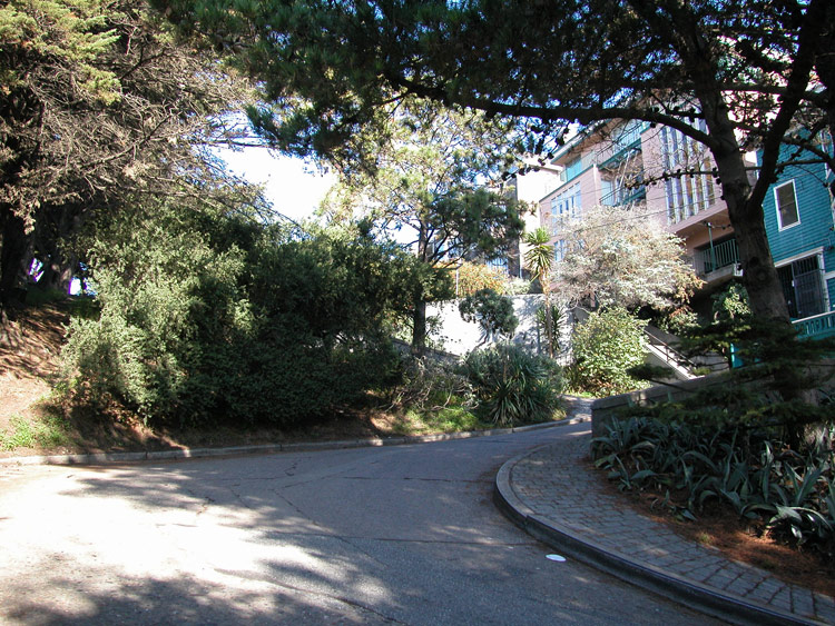
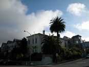
Houses in Potrero Hill
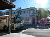
22-Fillmore bus on 18th Street at Texas Street in Potrero Hill

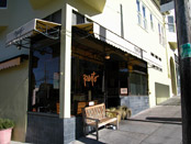
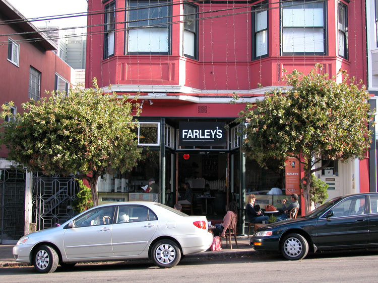
Farley's Coffee Shop, on 18th Street at Texas Street

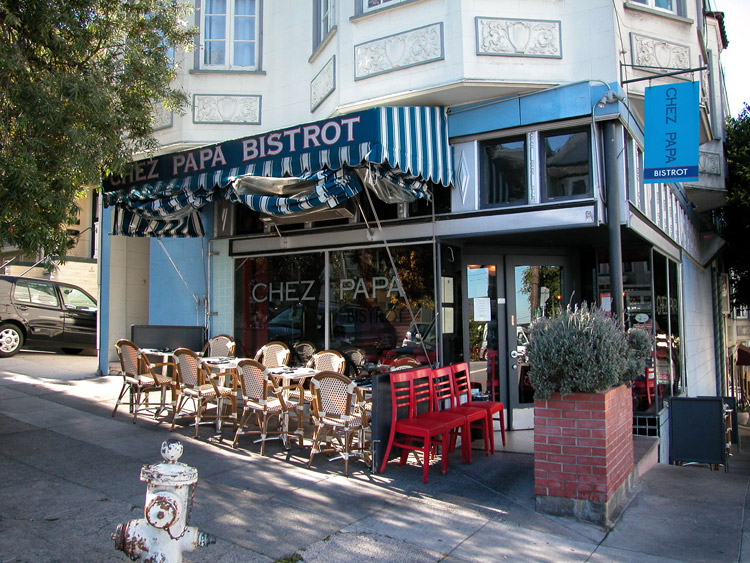
Chez Papa Bistro, on 18th Street near Missouri Street
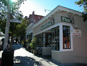
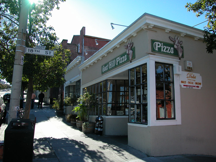
Goat Hill Pizza, on Connecticut Street at 18th Street
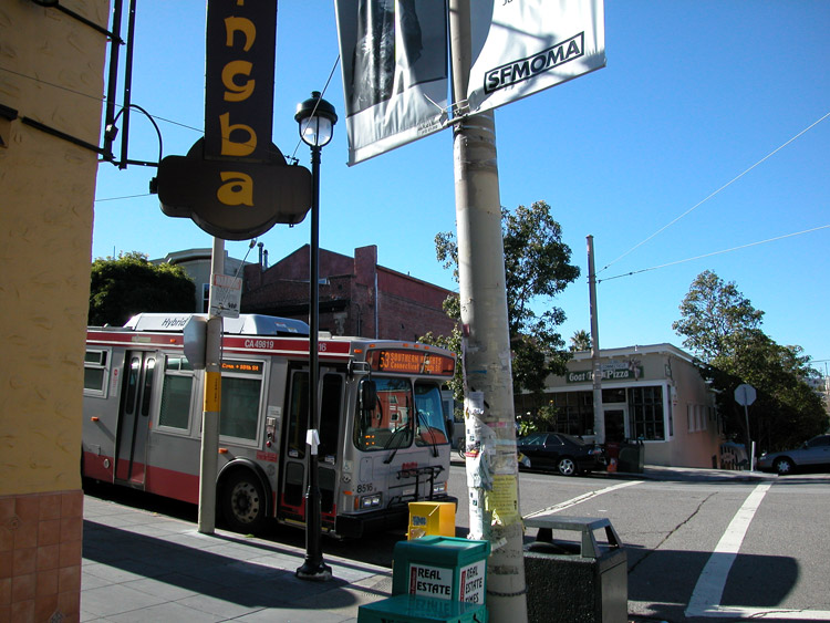
The 53 Southern Heights bus at Connecticut Street and 18th Street in Potrero Hill
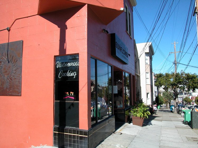
Sunflower Vietnamese Restaurant, on Connecticut Street at 18th Street
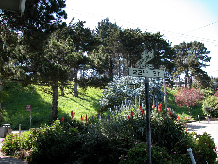
Connecticut Street near 20th Street
Thinker's Cafe, on 20th Street near Connecticut Street

Jay's Cafe on 20th Street at Connecticut Street

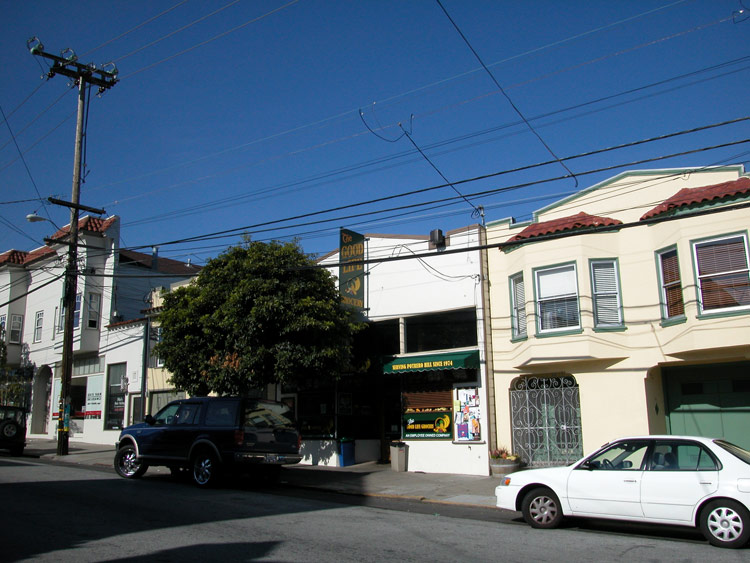
Good Life Grocery, on 20th Street at Connecticut Street
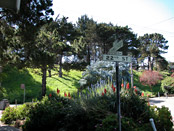
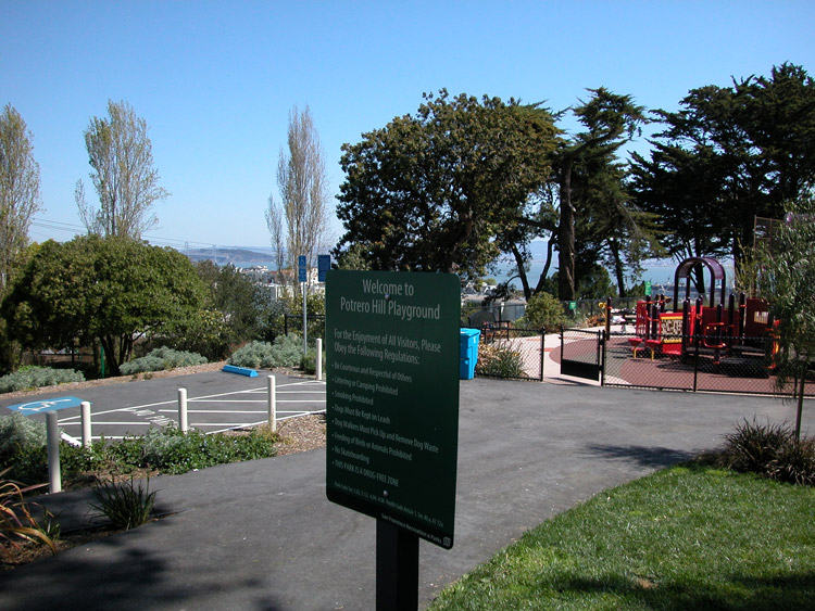
The edge of the Potrero Hill Recreation Center, on 22nd Street at Connecticut Street

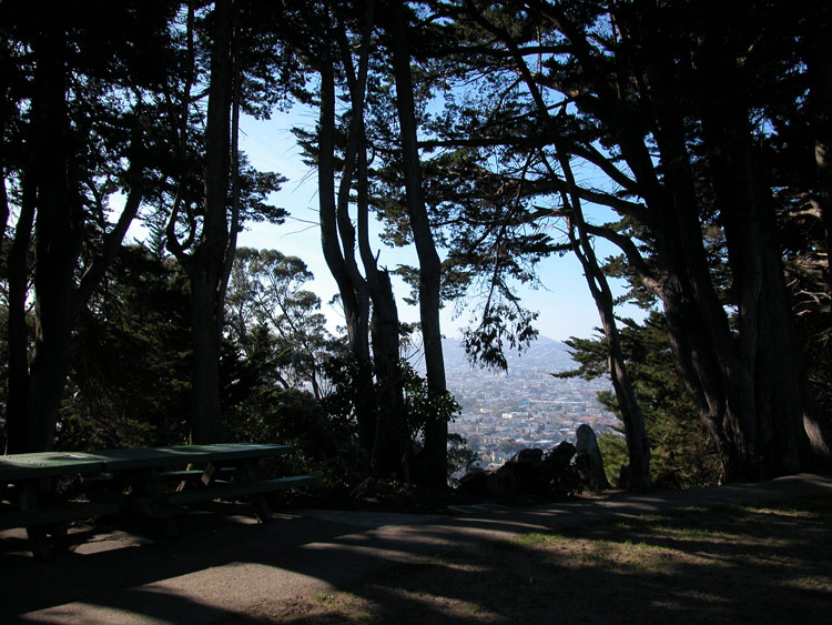
Looking east toward the bay from the Potrero Hill Recreation Center

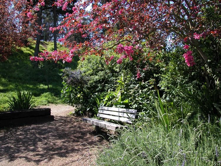
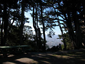
Bench at the Potrero Hill Recreation Center
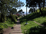
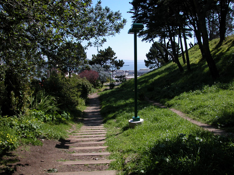
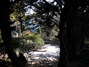
Walking path on the north edge of the Potrero Hill Recreation Center

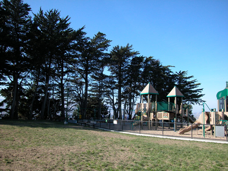
Playground at the Potrero Hill Recreation Center
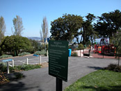
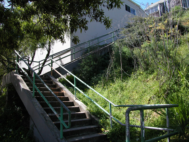
Stairway connecting 22nd Street between Arkansas and Wisconsin Streets
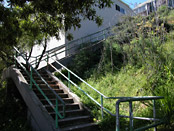
Path to Arkansas Street in the Potrero Hill Recreation Center park


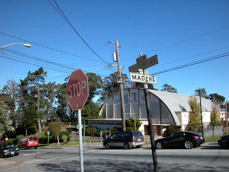
Arkansas Street at Madera Street, across from the Potrero Hill Recreation Center
Wisconsin and 22nd Streets, near the top of the stairway leading up from Arkansas Street
Looking west down 22nd Street from Carolina Street


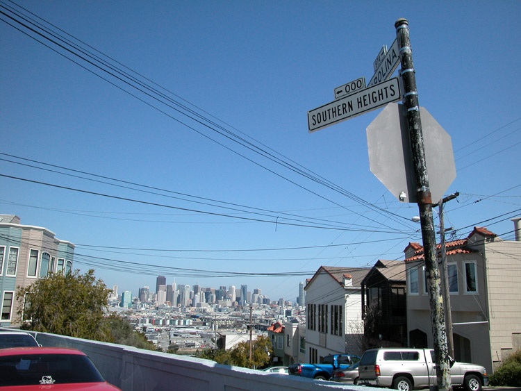
Southern Heights Avenue, off Carolina Street near 22nd Street
Corner of Starr King elementary school across from Coral Road at Carolina Street
Front of Starr King school on Wisconsin Street at Connecticut Street


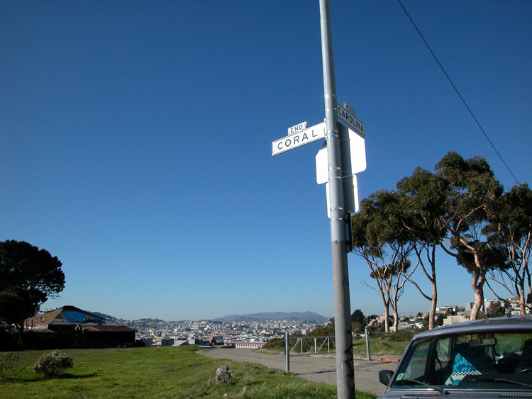
Intersection of Coral Road and Carolina Street at the back of Starr King Elementary School in Potrero Hill
Clearing at the edge of Coral Road at Carolina Street in Potrero Hill

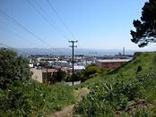
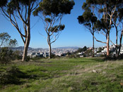
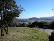
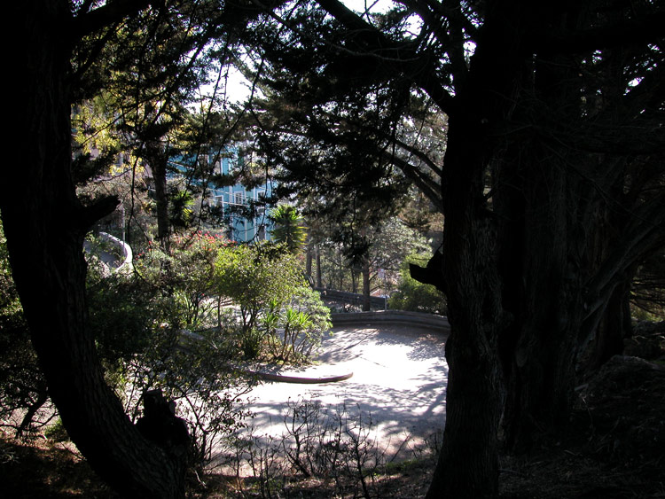
Northwest view from Coral Road in Potrero Hill
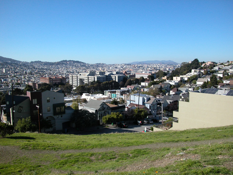
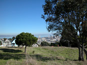
South view from Coral Road
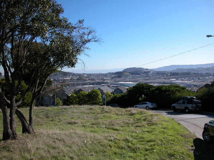
Southeast view from Coral Road

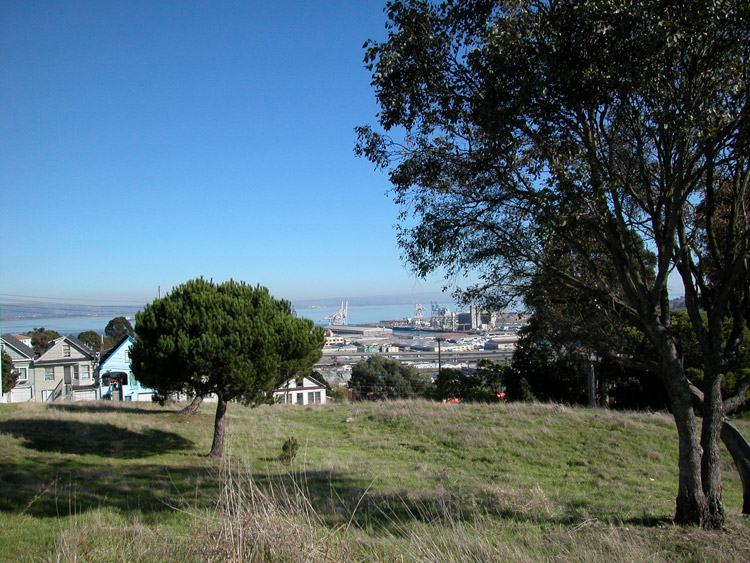
View to the west from Coral Road in Potrero Hill
Mini-park bench on Southern Heights Avenue between De Haro Street and Rhode Island Street

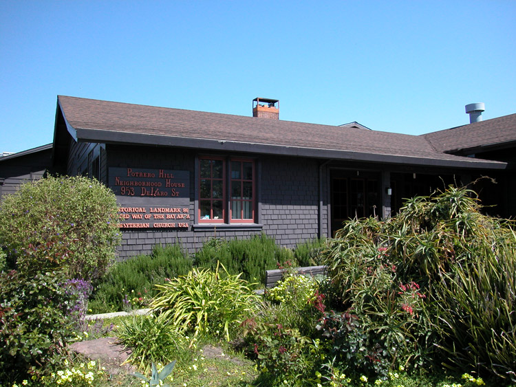
Potrero Hill Neighborhood House, on De Haro Street at Southern Heights Avenue

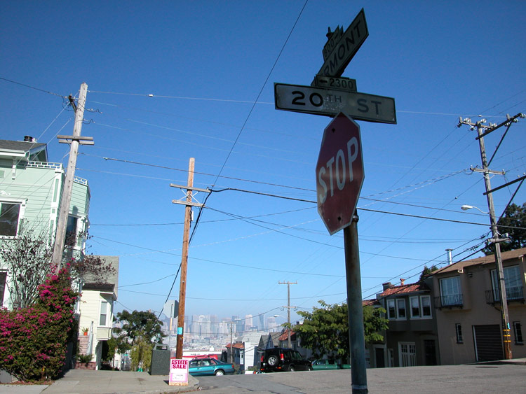
Intersection of 20th Street and Vermont Street, at the corner of McKinley Square Park


Playground in McKinley Square Park
West view from McKinley Square Park
The crooked section of Vermont Street, between 20th and 22nd Street, adjacent to McKinley Square Park

Vermont Street, near the bottom of the crooked section
Southwest view from the hillside along Vermont Street
West view from the edge of Vermont Street hill

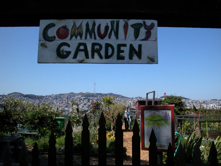
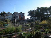
Potrero Hill Community Garden Entrance

Potrero Hill Community Garden, at 20th Street and San Bruno Avenue, next to McKinley Square Park
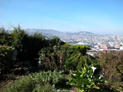
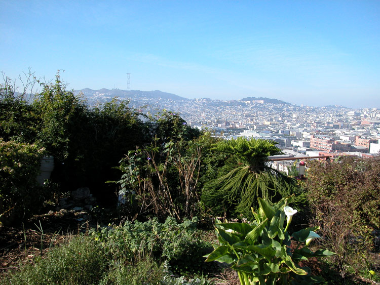
West view from Potrero Hill Community Garden
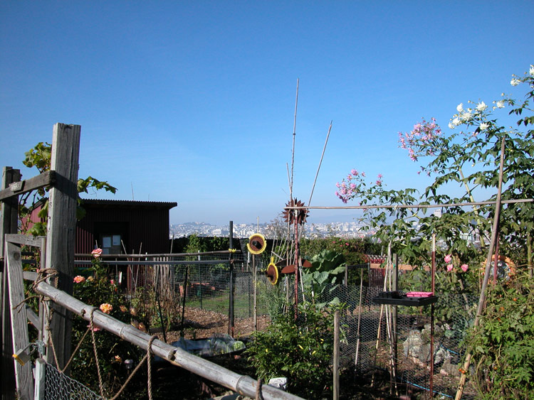
Potrero Hill Community Garden
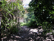
Path connecting 19th Street between Rhode Island and De Haro Streets
19th Street near Arkansas Street, facing west


The corner of Pennsylvania Avenue and 19th Street in Potrero Hill
At the east end of 19th Street in Potrero Hill, facing the bay
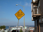
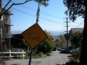
Not a Through Street


Franklin Square Park, at 17th Street and Bryant Street
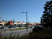
Potrero Center, on 16th Street across from Franklin Square Park

House on Bryant Street near 16th Street


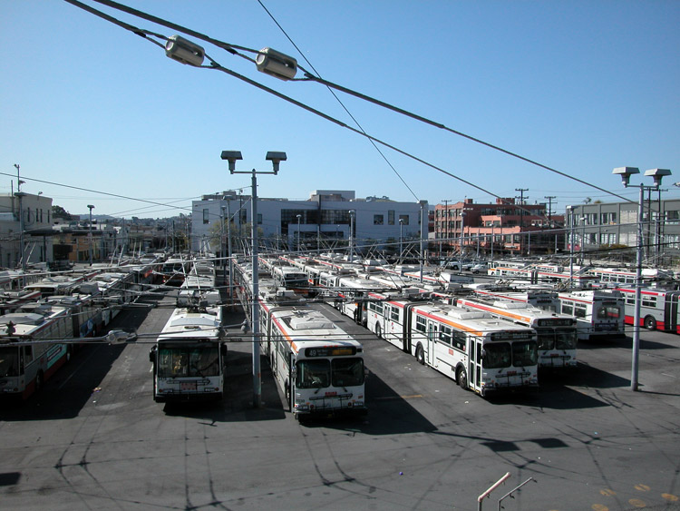
Buses at the Muni facility on 17th Street between Bryant and Hampshire Streets
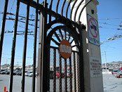
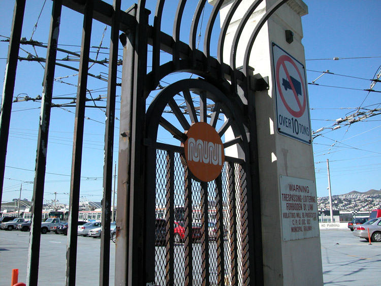
Muni facility gate
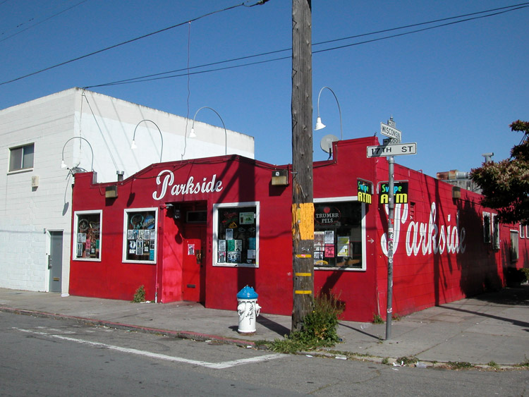
Parkside bar on 17th and Wisonsin, across the street from Jackson Playground
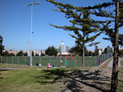
Jackson Playground, at 17th and Wisconsin Streets

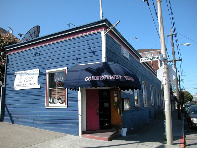
Connecticut Yankee Sports Bar, on 17th Street at Connecticut Street

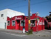
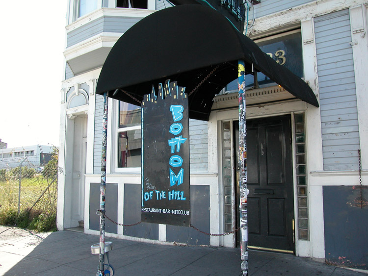
Bottom of the Hill, at 17th Street and Texas Street

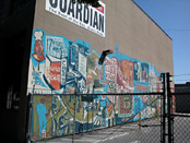
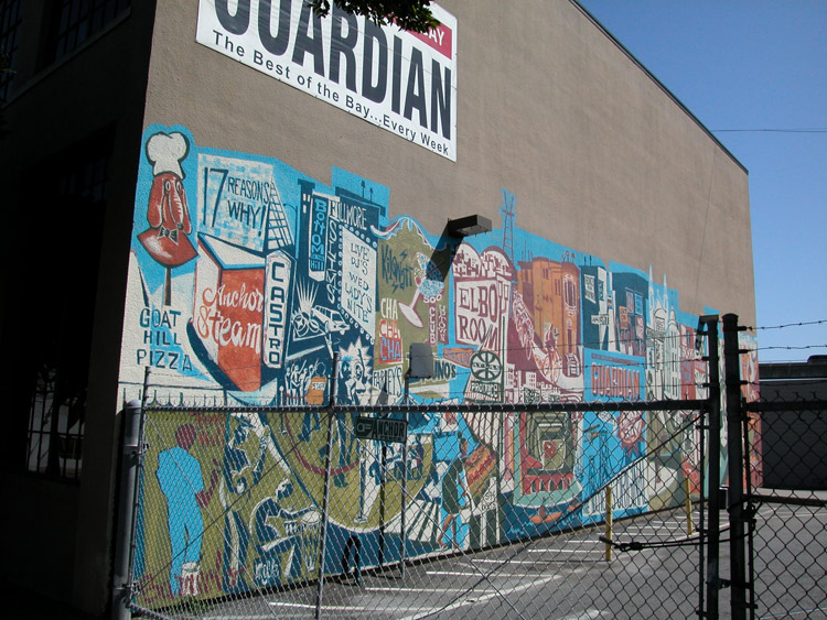
San Francisco Bay Guardian Building, on Mississippi Street near 17th Street
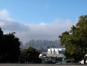
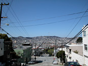
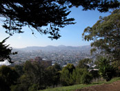
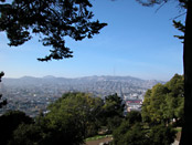
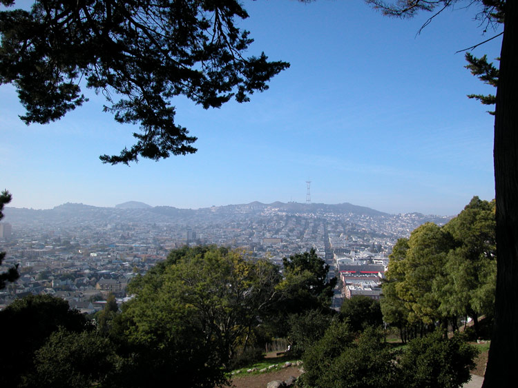
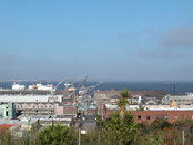
City view from Potrero Hill
Looking east toward 3rd Street and the bay, from Pennsylvania Avenue and 20th Street


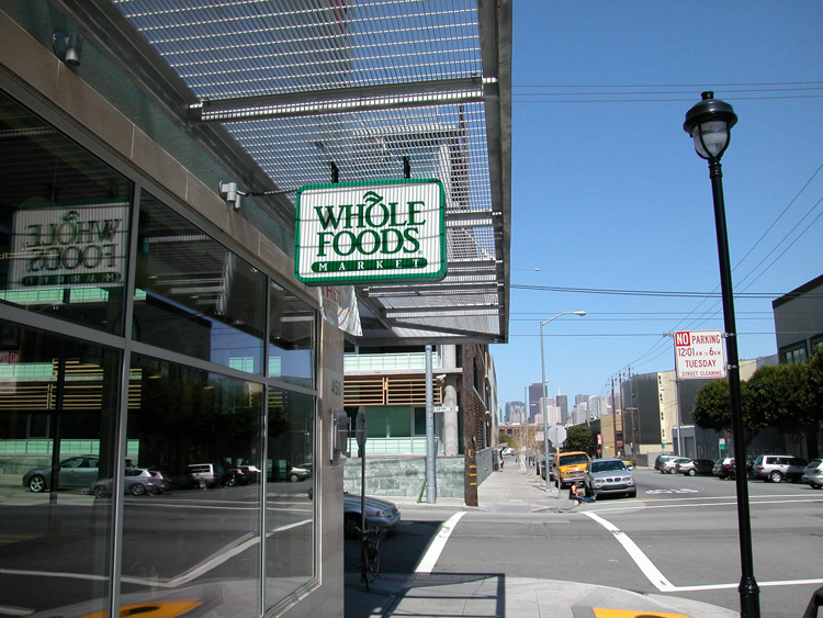
Whole Foods Market, on Rhode Island Street between 17th and Mariposa Streets in Potrero Hill

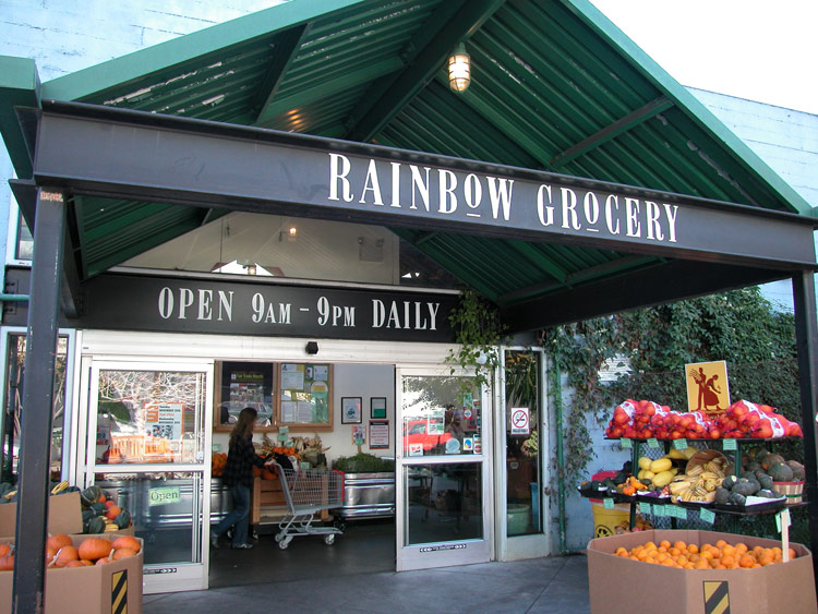
Rainbow Grocery, all-vegetarian co-op market, at Folsom Street and 13th Street
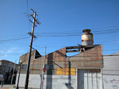
Industrial building at 17th Street and Treat Avenue

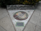
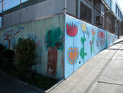
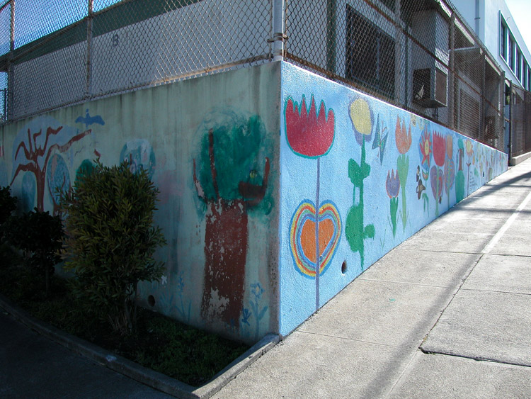
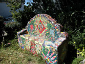
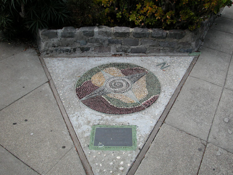
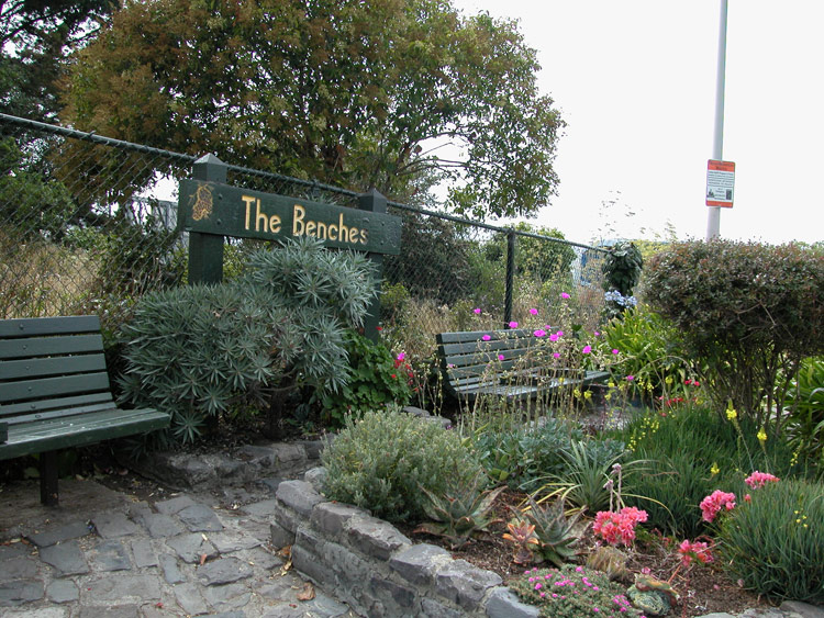
Tiled mural at The Benches park

The Benches park at 18th Street and San Bruno Avenue, just west of Vermont Street
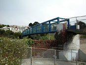
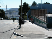
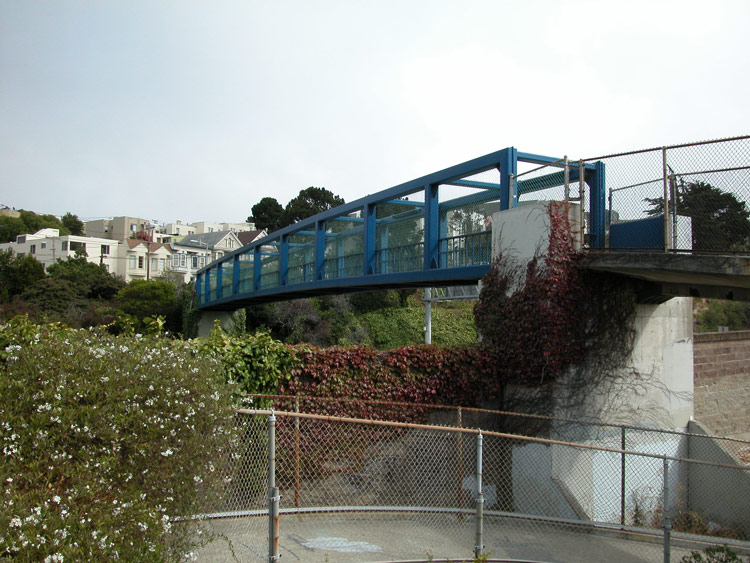
Walkway bridge over the freeway
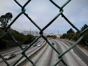
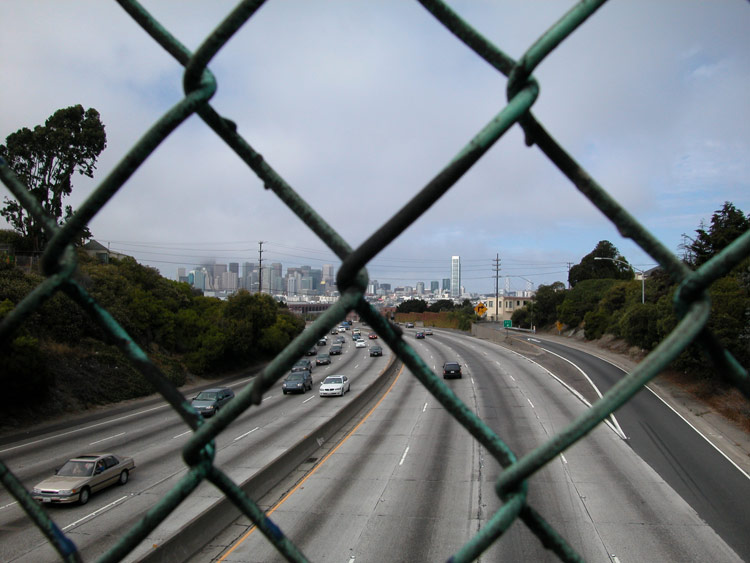
View over James Lick Freeway (101) from walkway bridge
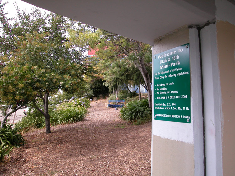
Utah Mini-Park at 18th Street and Utah
- Potrero Hill info on other sites
- Rainbow Grocery
Comments
Comment about Potrero Hill here: