Guide: San Francisco Day Tour 4
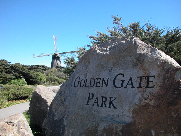
Day Tour 4 includes Laurel Heights, Seacliff and Lands End, Sutro Heights and Ocean Beach, Golden Gate Park (West Side), and Judah Street.
Preparations for Day Tour 4: Bring a cloth sack to carry picnic food, and a towel to spread out on the grass or sand. The plan for this day requires at least decent weather. If it's stormy or freezing, alternate plans are recommended. If it's merely foggy or overcast, you can carry on, but dress warmly. It's likely to be colder out by the ocean than it is downtown, especially in the summer.

Bus stop on Sutter Street between Stockton and Grant
1 Bus Stop on Sutter Street and Stockton
From Sutter Street between Stockton and Grant (Sutter is one block up from Post Street), catch the outbound 2-Clement bus.
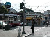
Inside the 2-Clement bus on Sutter Street, crossing Van Ness Avenue
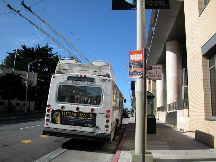
2 Clement-2 Muni Bus from Sutter Street
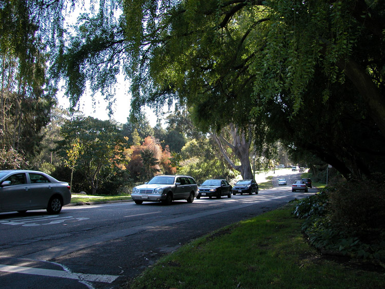
The bus will travel west on Sutter Street for 24 blocks and then turn right on Presidio Avenue.

The Presidio Avenue stop for the 2-Clement bus line
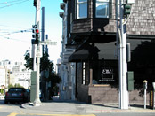
3 Presidio Avenue at California Street
After turning right on Presidio Avenue, the bus will turn right on Presidio, go up 3 blocks, and turn left on California Street. Exit the bus here.
Ella's Restaurant, serving breakfast and brunch, on Presidio Avenue at California Street
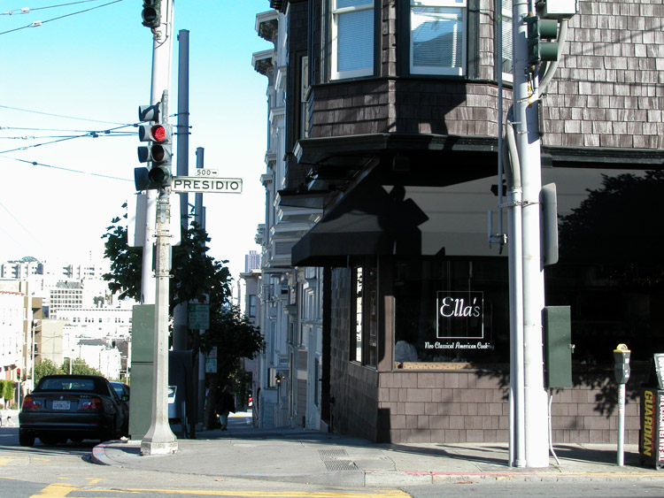
4 Dining Option: Ella's
On the corner of California and Presidio opposite the bus stop, Ella's is an extremely popular breakfast and brunch establishment.
Ella's is at 500 Presidio Avenue at the corner of California Street. Phone: 415-441-5669. Website: www.ellassanfrancisco.com.
Magic Flute Garden Ristorante on Sacramento Street between Locust and Spruce Streets
5 Dining Option: Magic Flute
Further into the Laurel Heights area, the Magic Flute offers brunch with charming ambiance and patio seating. To get there, go right from California Street (on Presidio, Walnut, or Laurel) and then left on Sacramento Street to Locust Street.
Magic Flute Garden Ristorante is at 3673 Sacramento Street between Locust and Spruce Streets. Phone: 415-441-5669. Website: www.ellassanfrancisco.com.

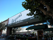
Bryan's Deli in Laurel Village on California Street
6 Lunch Pick-Up Option: Bryan's Deli
If you're coming from Magic Flute, you can return to California Street via Locust or Spruce Street. Otherwise, continue down California Street to Laurel Village and one possible option for picking up lunch items for later.
Bryan's Grocery is at 3445 California Street in the Laurel Village shopping center. Closed Sundays. Phone: 415-752-0179.

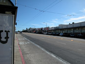
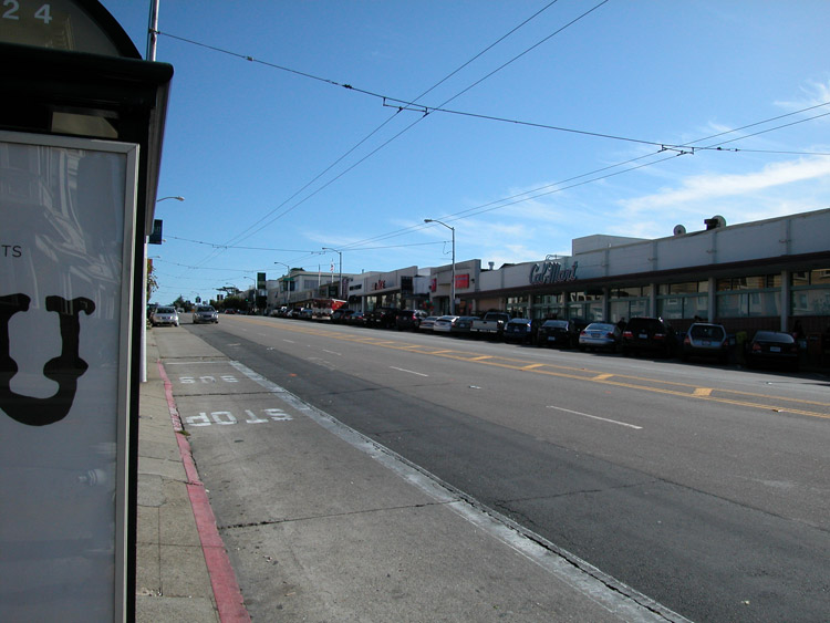
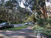
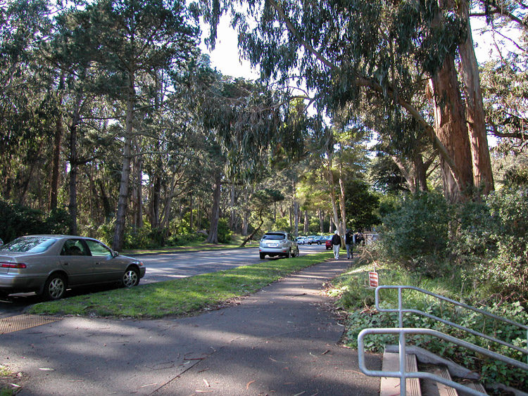
Bus stop on California Street at Spruce Street, across from the Laurel Village shopping center
7 California-1 Bus from California Street at Spruce Street
From the corner of California and Spruce Streets, across from Laurel Village, you can catch the 1-California bus. These go in both directions, so make sure you take the outbound bus going the same direction (west) down California Street as the bus you exited from earlier.
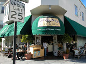
Angelina's Cafe, on California Street at 22nd Avenue
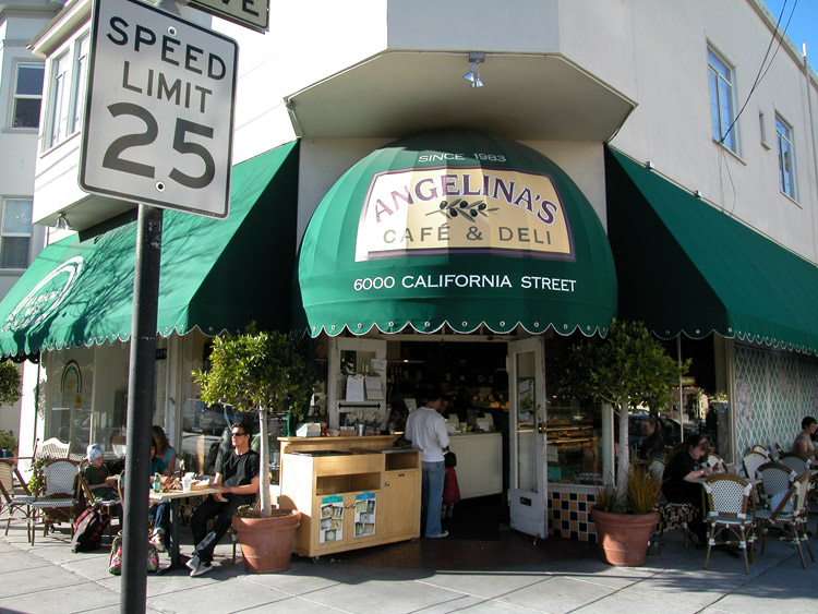
8 Lunch Pick-Up Option: Angelina's Cafe
A second option for picking up lunch items is down the road on California Street, at 22nd Avenue. This will be about 25 blocks from where you got on the bus at Laurel Village. They offer sandwiches, soups, and a variety of house-made deli items.
Angelina's Cafe is at 6000 California Street at the corner of 22nd Avenue. Phone: 415-221-7835. Website: www.angelinascatering.com.
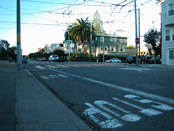
32nd Avenue stop for the California-1 line bus
9 32nd Avenue at California Street
Re-board the next 1-California bus if you exited at 22nd. The bus will turn left from California Street at 32nd Avenue. Exit here, and go back around to California Street, where it ends at a tall set of stone steps.

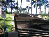
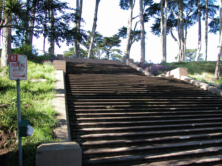
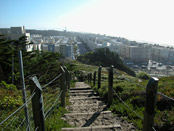
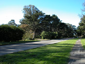
Steps leading up to Lincoln Park from Calfornia Street at 32nd Avenue
10 Steps to Lincoln Park
These steps lead up to Lincoln Park Golf Course and the northwest portion of the Golden Gate National Recreation Area. Climb the steps to the top.
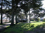
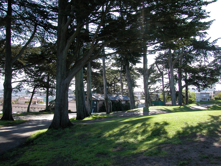
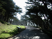
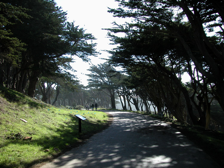
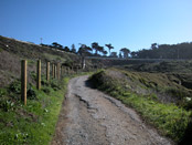
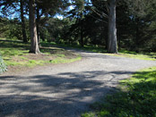
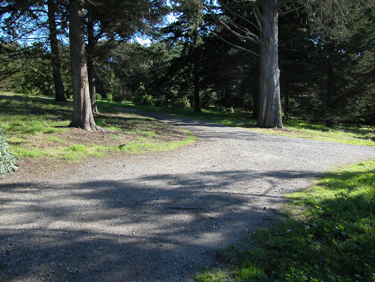
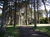
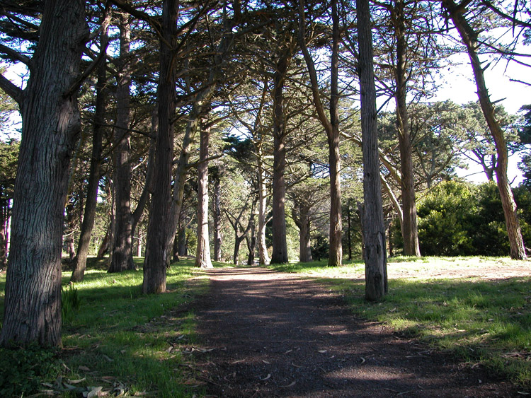
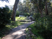
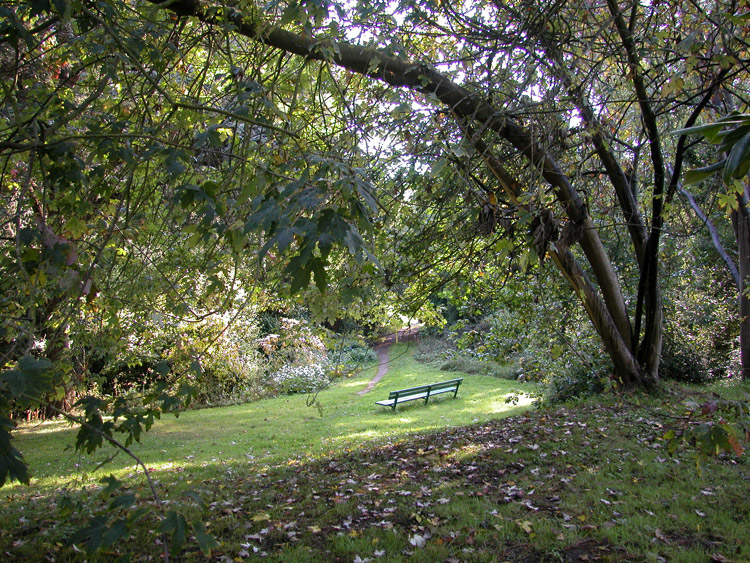
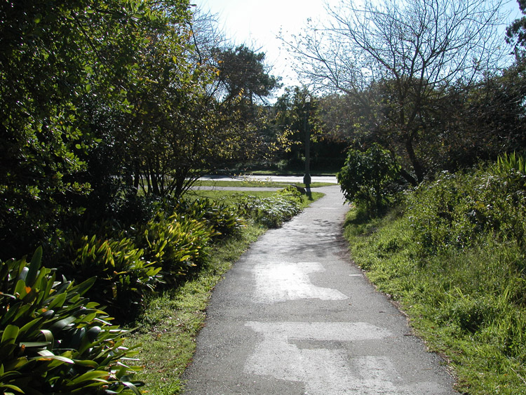
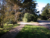
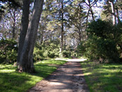
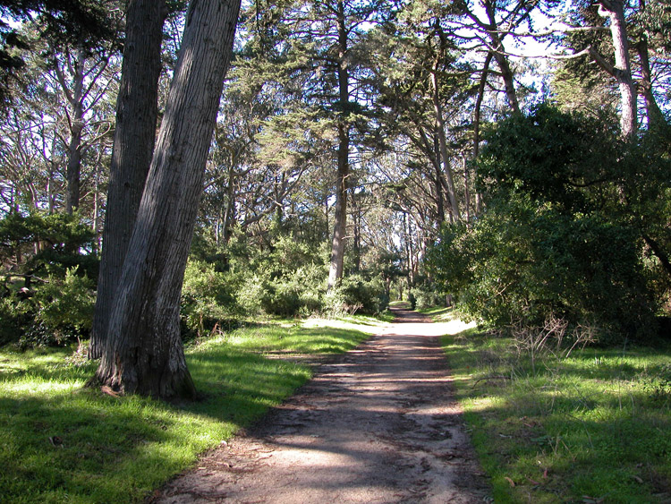
Walking path at the east edge of Lincoln Park, toward Land's End
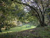
11 Lincoln Park
At the top of the steps, turn right (north) and follow the path adjacent to the Golf Course.
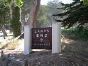
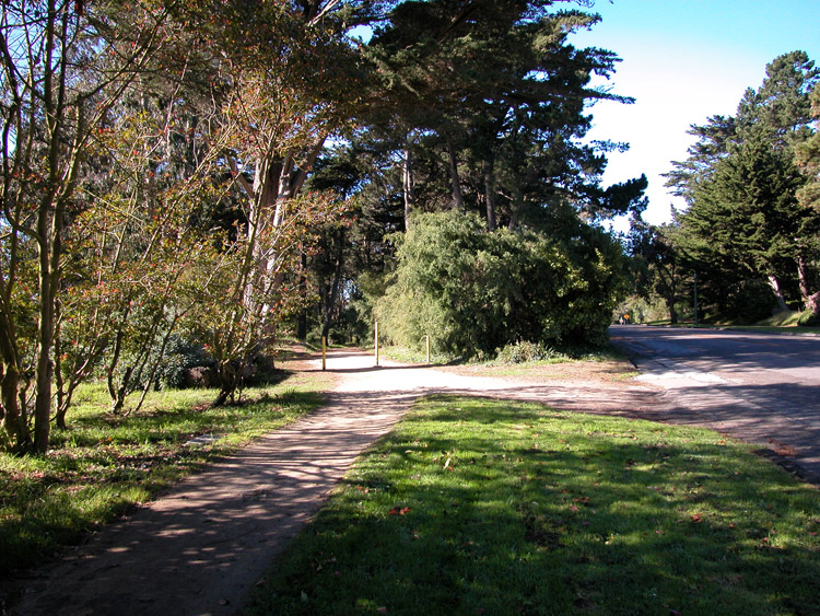
Lands End entrance, at the east edge of the Golden Gate National Recreation Area, on El Camino del Mar
12 Entrance to Lands End
The path through Lincoln Park will end at a street (El Camino Del Mar). Cross the street to the entrance to Lands End.

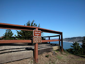
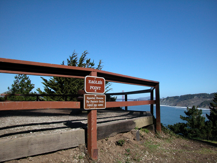
Eagle's Point lookout area, near the east entrance to Lands End, from El Camino Del Mar
13 Eagle's Point
Follow the path in to Lands End from the sign and main entrance, and you'll reach the Eagle's Point Lookout Area.
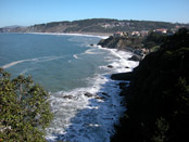
View of China Beach and Baker Beach, from the cliffs at Land's End
14 Lookout Behind Eagle's Point
There are views available at this lookout platform, and from the cliffs behind the platform (follow the path around the railing to the right).

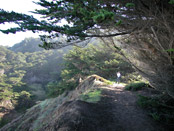
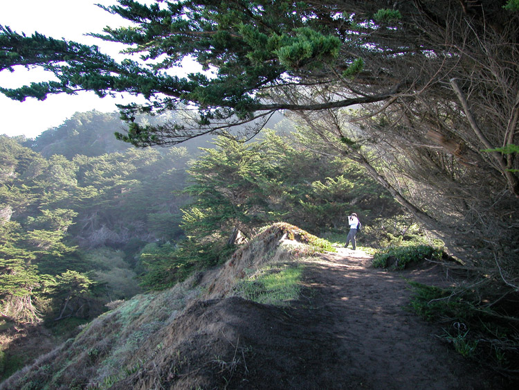
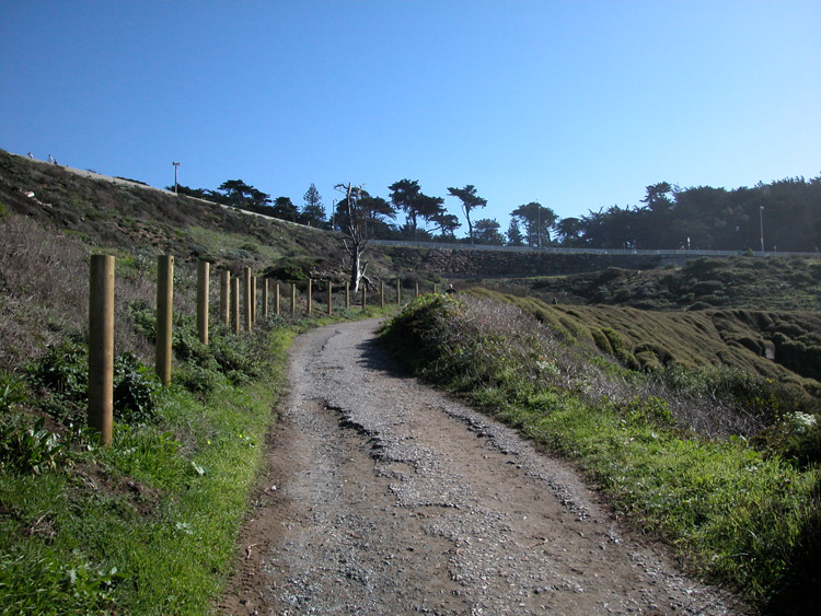
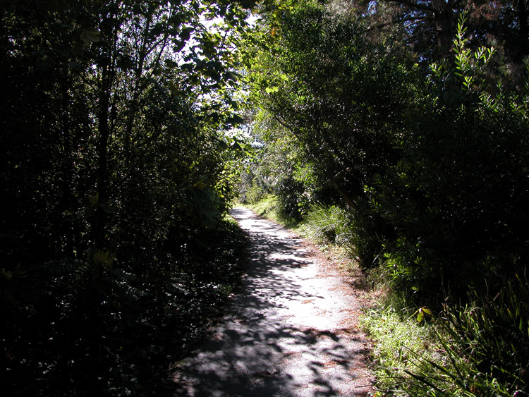
Trail along the cliffs and hills at Lands End
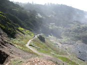
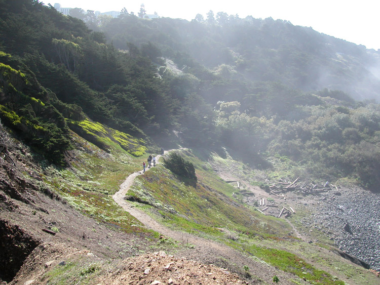
15 Trail at Lands End
Facing the Eagle's Point lookout, take the Coastal Trail to the left (west), and follow it through the trees and clearings with the cliffs and bay toward your right.
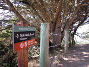
Trail entrance to Mile Rock Beach Viewpoint
16 Coastal Trail to Mile Rock Beach
After a ways, you will reach the paths that branch north from the Coastal Trail to lookout points and Mile Rock Beach. Follow the paths to see the beach and lookout points.

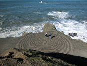
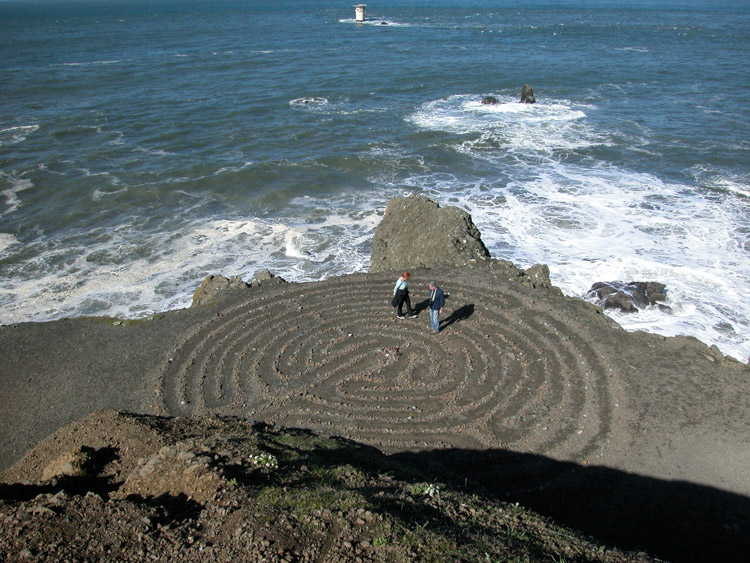
The labyrinth at Lands End, from Viewpoint above
17 Labyrinth near Mile Rock Beach
Just on the east side of Mile Rock Beach, peaks and ledges overlook the bay. A labyrinth is carved in the ground here.
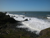
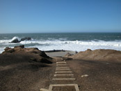
Mile Rock Beach at Lands End
18 Mile Rock Beach
Down below the ledges, just to the west, Mile Rock Beach (also known as Lands End Beach) is a cove offering access to the water.

Trail leading west from Mile Rock Beach at Lands End
19 Paths from Mile Rock Beach
From Mile Rock Beach, paths lead back up to the Coastal Trail. Look for the most well-used paths and signs marking the most direct route.
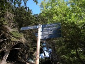
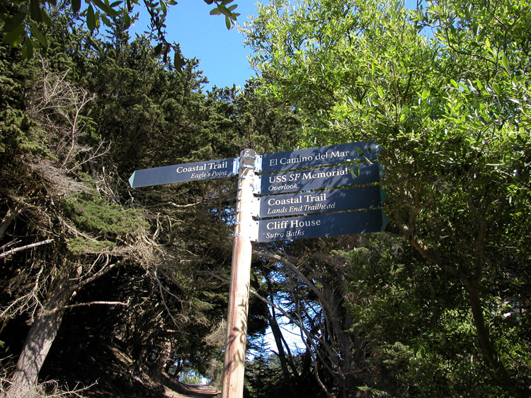
Signs on the walking path at Lands End
20 Continue on Coastal Trail
Continue heading west. You'll pass signs pointing the directions to specific destinations. Continue in the same direction (west) on the Coastal Trail toward the Cliff House and Sutro Baths.
Path in the Golden Gate National Recreation Area, leading to Sutro Baths
21 Path from Lands End toward Sutro Baths
You'll pass another lookout point on the Coastal Trail, and it will become a wider path as it curves around toward the south. Continue following the path.

Path to Sutro Baths, from the Golden Gate National Recreation Area
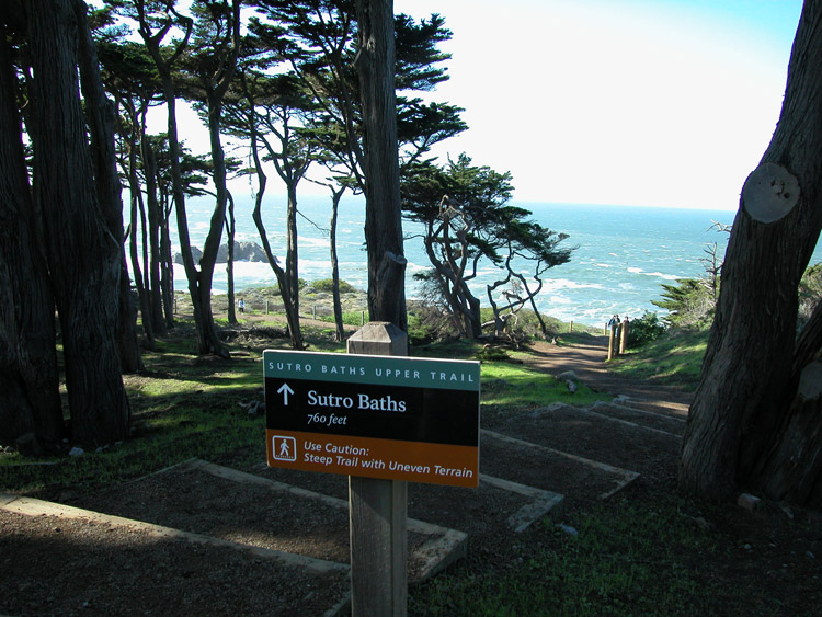
22 Steps leading to Sutro Baths
From the path, you'll reach a sign pointing the way down steps leading to Sutro Baths. Follow these steps down.
Steps leading down toward Sutro Baths and the Ocean
23 Continue toward the Ocean
The steps lead down toward a cement ledge and wall facing the ocean. Go toward the left (south) when you reach the ledge at the bottom.

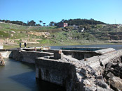
Above the Sutro Bath ruins, on the north side
24 Path above Sutro Baths
Continue on the path for views above Sutro Baths.

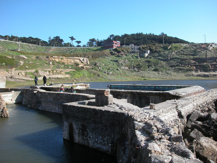
Inside the Sutro Bath ruins, on the north side
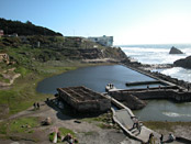
25 Sutro Baths
Now a collection of stubborn concrete ruins facing the ocean, this was a cavernous pool and bath house from 1896 to 1966.
Trail leading up toward Point Lobos Avenue from Sutro Baths
26 Trail to Point Lobos Avenue
Along the east edge of the ruins, opposite the ocean, a path leads up toward Point Lobos Avenue. Follow the path to the top.
Exiting the Sutro Baths at Point Lobos Avenue, near the Cliff House
27 Exit Sutro Baths area at Point Lobos Avenue
At the top of the path, you'll reach Point Lobos Avenue, with the Cliff House down toward your right, and the parking lot and entrance to Sutro Heights across the street and toward the left.
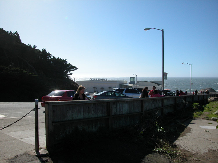
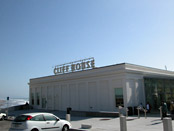
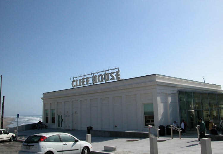
The Cliff House
28 Cliff House
If you want to see the Cliff House (or get a drink inside at the bar), head down and then return to this exit from Sutro Baths on Point Lobos Avenue.
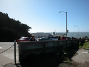
Crosswalk at Point Lobos Avenue between Sutro Baths and the parking lot at Sutro Heights Park
29 Crosswalk on Point Lobos Avenue toward Sutro Heights
Near the point where you came up from Sutro Baths, a crosswalk leads toward a parking lot. Cross the street here and walk through the parking lot.
Entrance to Sutro Heights Park from the parking lot at Point Lobos Avenue
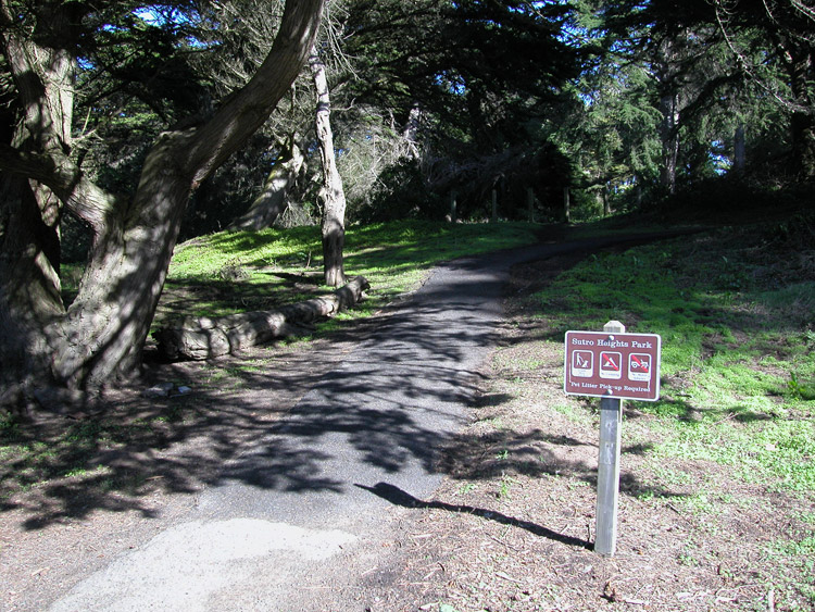
30 Entrance to Sutro Heights Park from Parking Lot
At the back of the parking lot, you'll find the entrance to Sutro Heights Park. Follow the path up into the park.
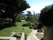
Looking south from the steps leading up to the parapet in Sutro Heights Park
31 Climb the Parapet at Sutro Heights
Inside the park, climb to the top of the parapet overlooking the ocean and coastline.

Along the top of the parapet, where the Sutro house stood
32 Top of the Parapet at Sutro Heights
This park, and the top area where the house stood, were part of the estate of Adolph Sutro. The house was demolished in 1938.
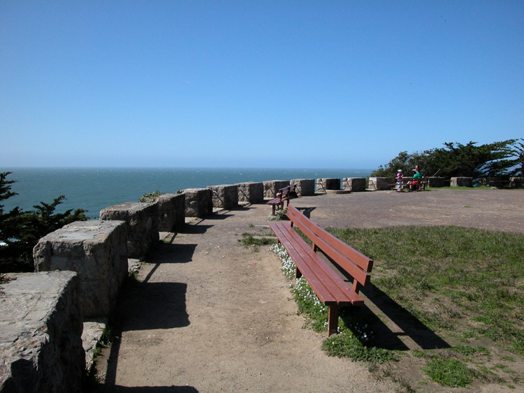

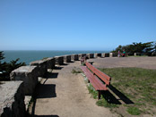
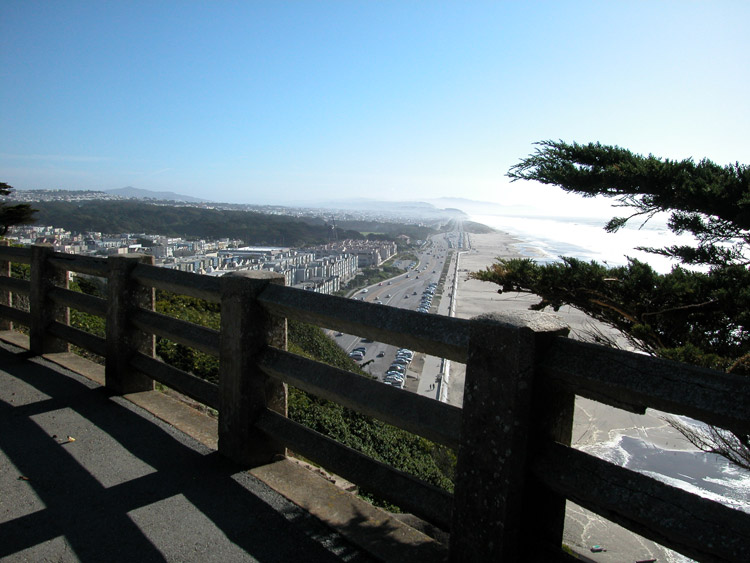
Rail at the south edge of Sutro Heights Park
33 Views from Sutro Heights
Walk all the way around the west end of the park for views of the Cliff House, Ocean Beach, and Sunset District.
Path leading from Sutro Heights Park down to Ocean Beach
34 Path down from Sutro Heights
At the south edge of the park (opposite from where you entered), a path leads down the hill toward Ocean Beach. Enter this trail.
Steps leading down the hill south of Sutro Heights Park
35 Trail leading down to Balboa Street from Sutro Heights
Continue following the trail down the steps toward Balboa Street.


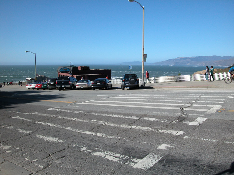
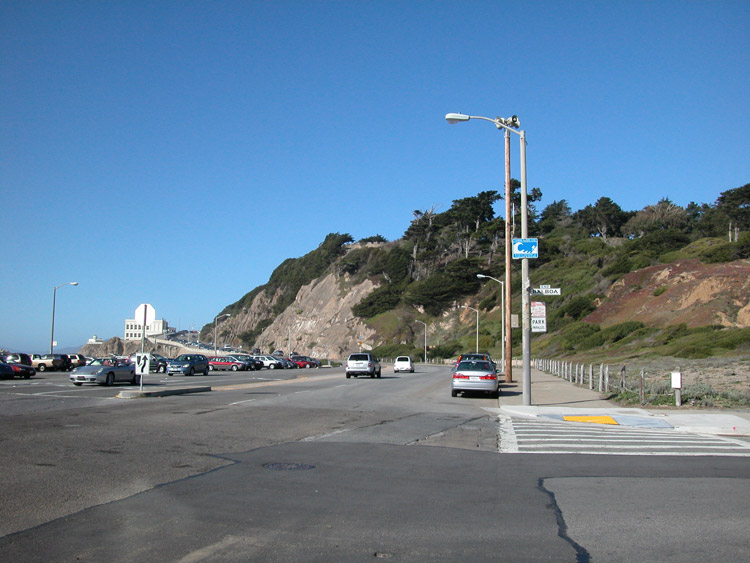
Great Highway at Balboa Street, looking toward Sutro Heights and the Cliff House
36 Cross Great Highway from Balboa Street
At the bottom of the trail, go right (toward the ocean), and cross the street (Great Highway) to the beach.
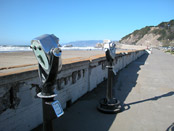
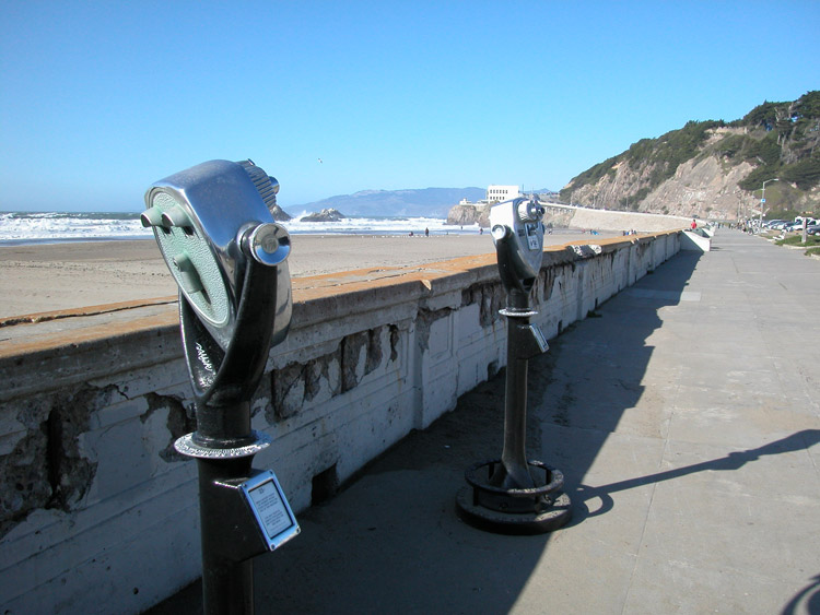
Telescopes on the sidewalk at Ocean Beach
37 Ocean Beach
Depending on the weather, you may or may not want to walk down to the beach. It can be windy, especially in the spring months.
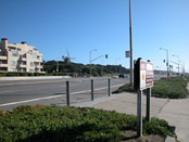
Great Highway at Fulton Street, facing the northwest corner of Golden Gate Park
38 Cross Great Highway at Fulton Street
Continue south along the sidewalk past Cabrillo Street. At Fulton Street, cross back over to the other side of the Great Highway toward Golden Gate Park.


West entrance to Golden Gate Park, at the Great Highway
39 Pass West Entrance to Golden Gate Park
You'll pass the west entrance at the end of JFK Drive. Continue south along the edge of the park toward the Beach Chalet.
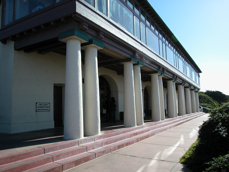
The Beach Chalet, facing the Great Highway and Pacific Ocean
40 Beach Chalet
The Beach Chalet faces out toward the ocean, and the attached Park Chalet is the "back yard" facing the park. Enter the building at the front to the Visitors Center inside.
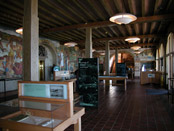
Visitors Center, inside the Beach Chalet
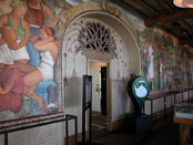
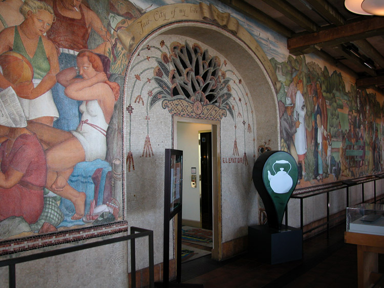
41 Visitors Center in Beach Chalet
The front interior room of the building is a visitors center, with displays pertaining to park history, and fresco paintings created in the 1930s by muralist Lucien Laboudt.

Elevator doorway leading to the Park Chalet from the Visitors Center
42 Doorway to enter Park Chalet
Exit the visitors center through the elevator doorway, to the Park Chalet.
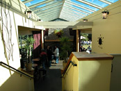
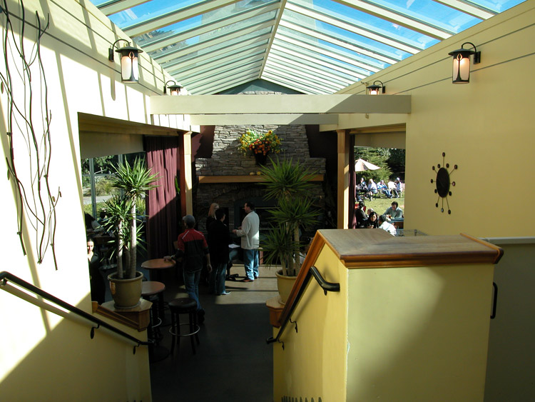
Inside the Park Chalet
43 Park Chalet
Pass through the Park Chalet interior to the back area outside.
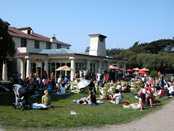
The back lawn at the Park Chalet
44 Back Lawn at Park Chalet
The back area at the Park Chalet is often crowded on weekends.

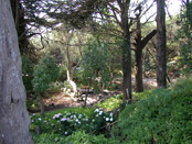
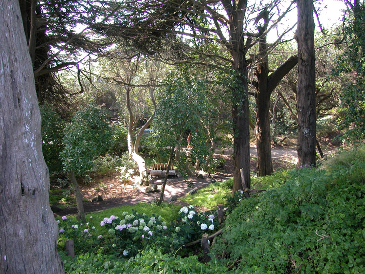
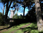
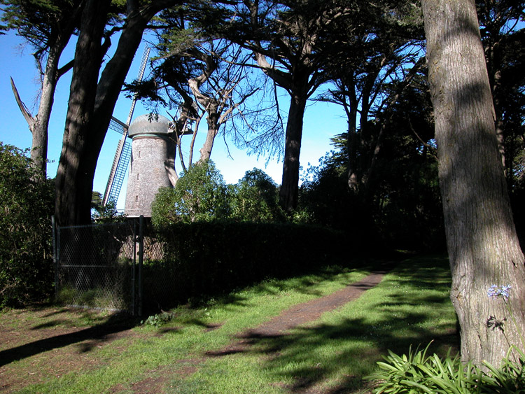
Park Chalet Garden Path leading up to JFK Drive and Dutch Windmill
45 Garden Path from Chalet to Windmill
Behind the Park Chalet, a path leads up through a garden toward JFK Drive. Follow this path and cross the street toward the Dutch Windmill.
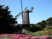
The Dutch Windmill and Queen Wilhelmina Tulip Garden
46 Dutch Windmill and Tulip Garden
Built in 1902, this windmill used ocean winds to pump underground water for the park. Restored in 1981, it is now decorative. Tulips are planted for the early spring season.

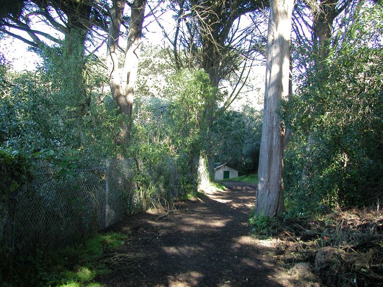
Path on the south side of the Dutch Windmill and Tulip Garden
47 Path around Windmill
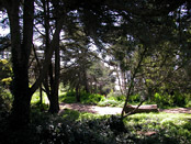
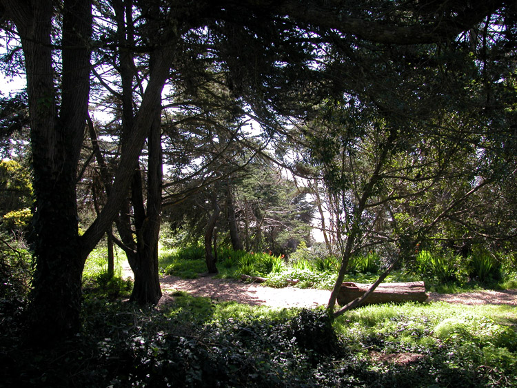
Around the right side of the Windmill and garden, a path leads into a shady wooded area. Follow this path.

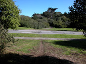
Further on the path, behind the Dutch Windmill
48 Behind Windmill
Continue on the path as it leads around the back of the Windmill and then curves toward the right.
Crossing 47th Avenue on the path from the Dutch Windmill
49 Cross 47th Avenue
Continue on the path, crossing 47th Avenue and then picking up the path again through another wooded area.

Path from Dutch Windmill splits to the left, toward the North Lake
50 Path Bends Left
Through the woods, the path will bend to the left along the north edge of the park, toward the Chain of Lakes. Follow the path around the left, toward the lakes.
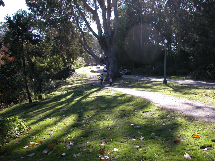
Wooded area close to the North Lake
51 Wooded Area approaching North Lake
As you approach the Chain of Lakes, you'll pass through one last wooded area.
Path leading to the North Lake
52 Entrance to North Lake
When you reach the North Lake, follow the path clockwise around the lake.

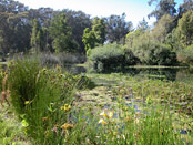
The North Lake, in the Chain of Lakes
53 North Lake
This is the northernmost of a chain of three lakes. Continue around the north shore toward the east shore.
Walking path around the North Lake
54 Path around North Lake
Follow the path along the east shore (with the lake on your right) toward the south edge of the lake.

Stairway leading up to JFK Drive from the North Lake
55 Stairway from North Lake to JFK Drive
At the south edge of the lake, you'll reach a stairway leading up from the North Lake to JFK Drive.

JFK Drive, at the top of the steps leading up from the North Lake
56 Cross JFK Drive
Take the steps up and cross to the opposite side of JFK Drive.
Chain of Lakes Drive, where it crosses JFK Drive
57 Cross Chain of Lakes Drive
After crossing JFK Drive, cross Chain of Lakes Drive (toward the left) at the crosswalk.
Intersection of JFK Drive and Chain of Lakes Drive
58 Corner of JFK Drive and Chain of Lakes Drive
From this corner, follow the path alongside Chain of Lakes Drive (on your right) and the North Lake behind you.

Walking path along Chain of Lakes Drive, between Middle Lake and South Lake
59 Path along Chain of Lakes Drive
Continue along the path, passing the thick reeds of the Middle Lake on your left and the road on your right.
Bench near Middle Lake, in the Chain of Lakes
60 Pass Middle Lake
Continue past Middle Lake and a bench in a small grassy area near the south edge of Middle Lake.
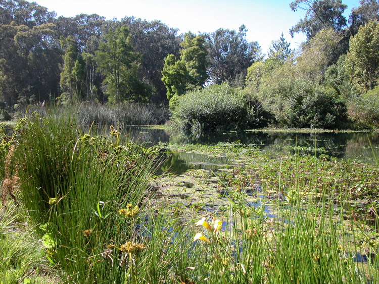
The South Lake, from the north side
61 Approach South Lake
Continuing on the path, you'll come to the edge of South Lake.


Walking path next to the South Lake
62 Enter Walking Path by South Lake
Just to the right of the edge of South Lake, you'll see and entrance to a thick tree-lined path. Enter this path alongside South Lake.

Path next to the South Lake, leading out to MLK Drive
63 Exit Walking Path at MLK Drive
Exit this path at Martin Luther King Jr Drive and the opposite shore of South Lake.
The banks of the South Lake at MLK Drive
64 South Lake
South Lake has benches and grassy areas for resting by its shore.
Intersection of MLK Drive and 41st Avenue, near the South Lake
65 Intersection of MLK Drive and 41st Avenue
This corner of the South Lake marks the intersection of Martin Luther King Jr Drive and 41st Avenue.

MLK Drive at 41st Avenue, near Chain of Lakes Drive
66 Cross MLK Drive
Cross to the other side of MLK Drive (in the direction you exited the path) and then turn to the right (west) on MLK Drive.

Path off of MLK Drive, just west of Chain of Lakes Drive
67 Path from MLK Drive
From MLK Drive, you'll reach the entrance to a path branching out from the road on your left. Follow this path.
Walking path leading from MLK Drive toward the West Playground
68 Path toward West Playground
Continue on this path toward the West Playground and 45th Avenue.

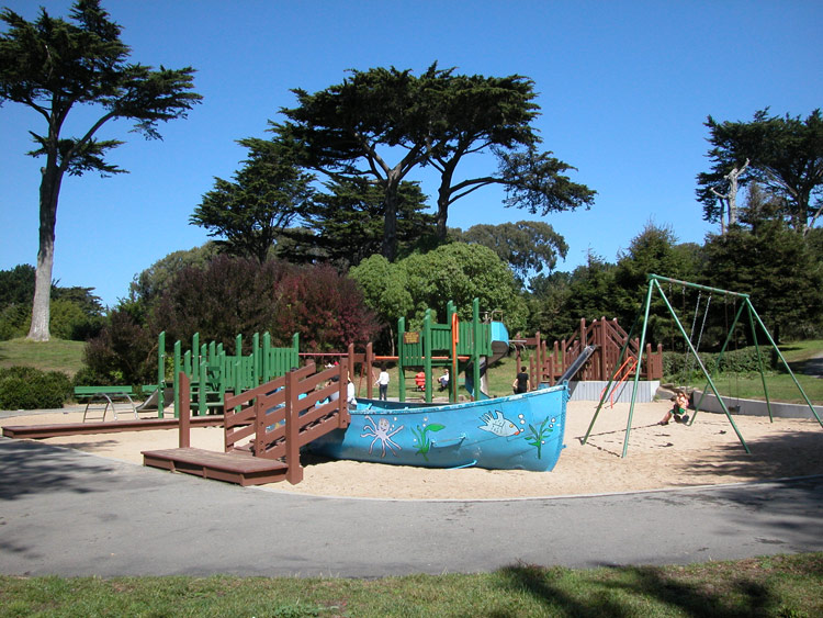
Playground near Lincoln Way and 45th Avenue
69 West Playground
Following the path, you'll reach the West Playground and picnic area on your right. On your left, a path leads out of the park.
Path leading from the West Playground to Lincoln Way at 45th Avenue
70 Exit Park to 45th Avenue at Lincoln Way
Take the path out of the park at 45th Avenue. Cross Lincoln Way and continue on 45th Avenue, crossing Irving Street.

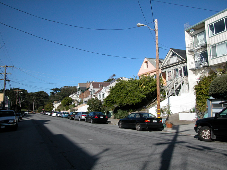
45th Avenue between Lincoln and Irving Streets, just south of Golden Gate Park
71 45th Avenue to Judah Street
Continue on 45th Avenue past Irving Street toward Judah Street.
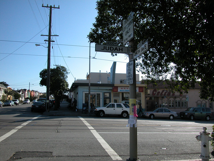
Judah Street at 45th Avenue
72 Judah Street at 45th Avenue
From 45th Avenue (on the right side), cross the street at Judah.
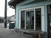
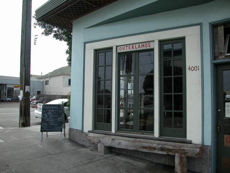
Outerlands, on Judah at 45th Avenue
73 Dining Option: Outerlands
The cozy kitchen here serves small dishes made from local organics, plus wine, beer, and hot or cold cider. Open Tuesday through Saturday at 6pm for dinner (also 11-3 for lunch).
Outerlands is at 4001 Judah Street at the corner of 45th Avenue. Phone: 415-661-6140. Website: www.outerlandssf.blogspot.com.
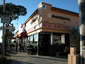
Judahlicious Cafe, on Judah Street at 44th Avenue
74 Dining Option: Judahlicious Cafe
Serving fruit smoothies, vegan and raw foods (including grain bowls and chili), open until 8pm (7pm Sunday).
Judahlicious is at 3906 Judah Street at the corner of 44th Avenue. Phone: 415-665-8423. Website: www.judahlicious.com.


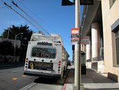
N-Judah Muni trains turning around at the end of Judah Street
75 N-Judah Train from 43rd Avenue
The N-Judah trains turn around at the end of Judah Street. You can board the inbound train at 43rd Avenue on Judah Street.

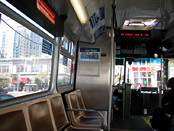
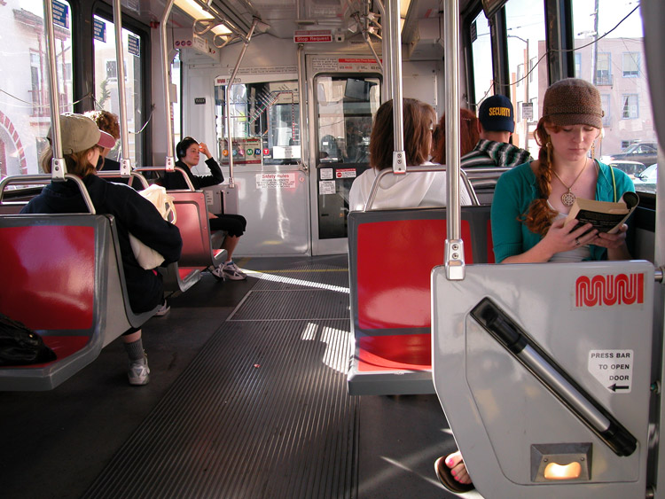
Inside the N-Judah Muni train
76 N-Judah to Downtown Stations
The N-Judah Train will return you to the downtown Muni stations.
9th Avenue at Irving Street
77 Additional Dining Options: Exit N-Judah at 9th Avenue
For many additional dinner options, exit the N-Judah train at 9th Avenue and then re-board the inbound train at 9th Avenue or Irving Street.
